Comms coverage
tr_comms_coverage
What it does
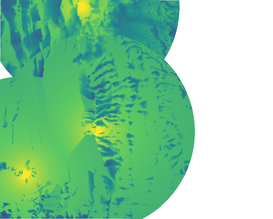
RF coverage from transmitter sites: received power with free-space loss and knife-edge diffraction, line of sight with 60% Fresnel clearance, best server, coverage and dead zones.
Like Radio frequency coverage workflow (Viewshed 2 + RF tools) in ArcGIS Pro and GRASS r.viewshed + Raster calculator in QGIS. Run by the product's terrain engine on 30 m cells from Copernicus DEM GLO-30 (full resolution): 740 x 930 = 688,200 cells; no model was called.
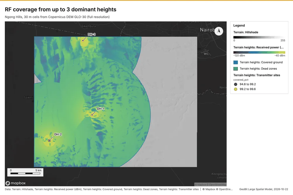
RF coverage from up to 3 dominant heights
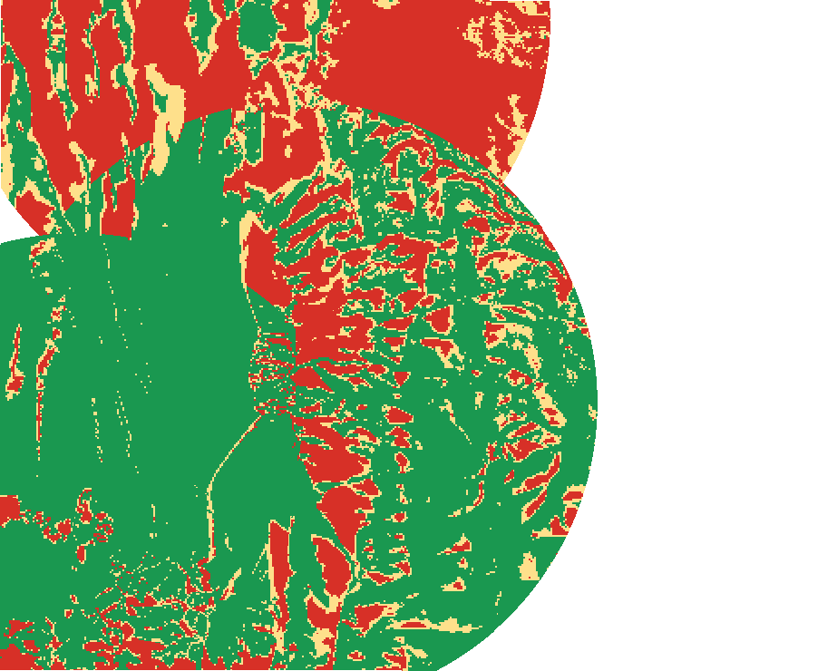
3 site(s) cover 100.0% of the analyzed ground at -100 dBm; 58.8% has a 60% clear Fresnel zone.
Parameters
| Parameter | Value |
|---|---|
| cell_size_m | 30 |
| sites | auto:3 (the 3 dominant heights of the area) |
Numbers
| Measure | Value |
|---|---|
| covered_pct | 99.98 |
| threshold_dbm | -100 |
| k | 0.25 |
| clear_fresnel_pct | 58.82 |
| dem.rows | 740 |
| dem.cols | 930 |
| dem.cell_m | 30 |
| dem.crs | EPSG:32737 |
| dem.missing_frac | 0 |
| dem.elev_min_m | 1,562 |
| dem.elev_max_m | 2,456 |
| dem.elev_mean_m | 1,824 |
| dem.relief_m | 894.3 |
| dem_source.kind | copernicus |
| dem_source.native_res_m | 30.91 |
| dem_source.crs | EPSG:4326 |
| dem_source.dataset | Copernicus DEM GLO-30 |
Notes
- DEM: Copernicus DEM GLO-30 (open data; cached). Copernicus DEM GLO-30: produced using Copernicus WorldDEM-30 (c) DLR e.V. 2010-2014 and (c) Airbus Defence and Space GmbH 2014-2018 provided under COPERNICUS by the European Union and ESA
- sites: on the dominant heights DH-1 (2,456 m), DH-2 (2,080 m), DH-3 (2,046 m)
- the grid (30 m) is finer than the DEM (30.9 m): values between DEM samples are interpolated
- bare earth: clutter, buildings, vegetation, antenna patterns and multipath are not modeled
- paths evaluated every 2 cells and filled to the nearest evaluated cell
Layers
Files
| Layer | Made by | Kind | Features | File |
|---|---|---|---|---|
| Terrain heights: Received power (dBm) | tr_comms_coverage | raster image | PNG 305 KB | |
| Terrain heights: Path class | tr_comms_coverage | raster image | PNG 31 KB | |
| Terrain heights: Best site | tr_comms_coverage | raster image | PNG 11 KB | |
| Terrain heights: Covered ground | tr_comms_coverage | polygons | 1 | GeoJSON 3 KB |
| Terrain heights: Dead zones | tr_comms_coverage | polygons | 1 | GeoJSON 0 KB |
| Terrain heights: Transmitter sites | tr_comms_coverage | points | 3 | GeoJSON 1 KB |