Every terrain analysis, on the Ngong Hills
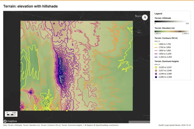
A ridge of old volcanic summits southwest of Nairobi that drops west into the Great Rift Valley: about 28 by 22 km of steep slopes, ravines, high ground and the plain below. The box the terrain engine was verified on, live from Copernicus, on 2026-10-17.
All 29 terrain analyses the product offers ran here by its own terrain engine on 30 m cells from Copernicus DEM GLO-30 (full resolution): 740 x 930 = 688,200 cells, with the observers, lines of sight, routes, profiles and radio sites the automatic analysis places itself on the dominant heights. Each map was drawn by the render path the runs use, and no model was called. Each analysis has its own page with its map, parameters, numbers and an interactive map of its layers.
The whole analysis
Surface
Aspect
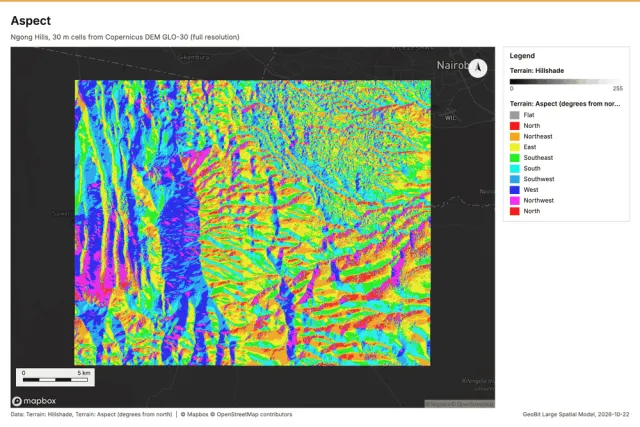
Compass bearing each slope faces, with the share of ground per sector.
Contours
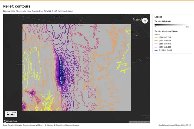
Contour lines at an interval (chosen from the relief when not given).
Curvature
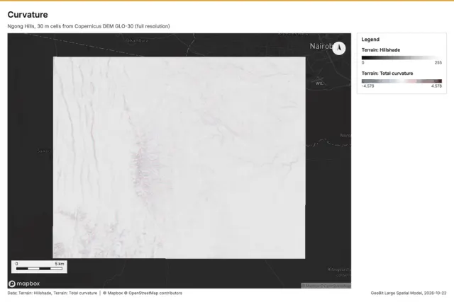
Total, profile or plan curvature (Zevenbergen and Thorne), 1/100 m.
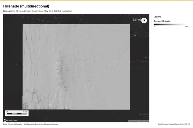
Hillshade
Shaded relief from a light direction, or multidirectional.
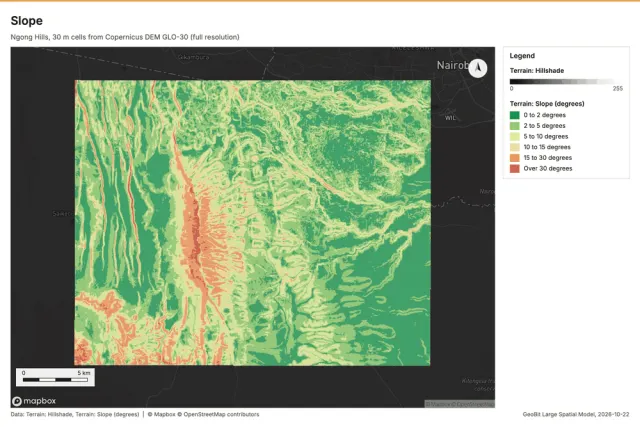
Slope
Horn slope in degrees or percent, with the share of ground in six grade classes.
Landforms
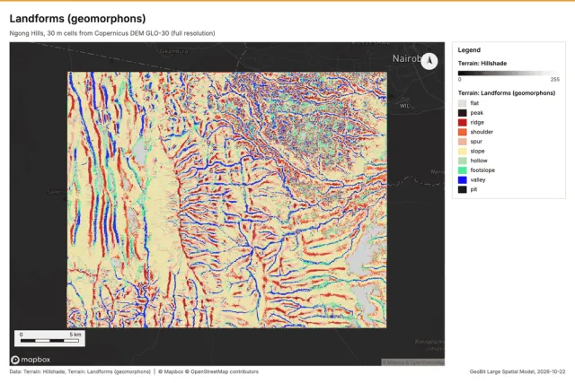
Landforms
Geomorphon landforms: flat, peak, ridge, shoulder, spur, slope, hollow, footslope, valley, pit.
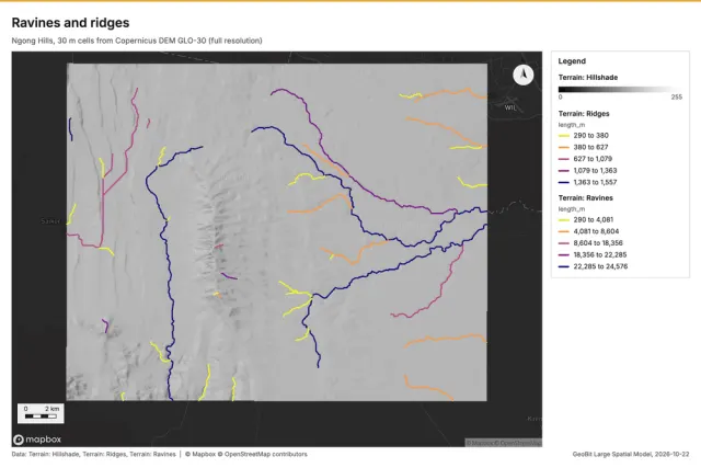
Ravines and ridges
Ravine lines (drainage of the filled DEM) and ridge lines (the negated DEM), classed with length, catchment, depth or prominence.
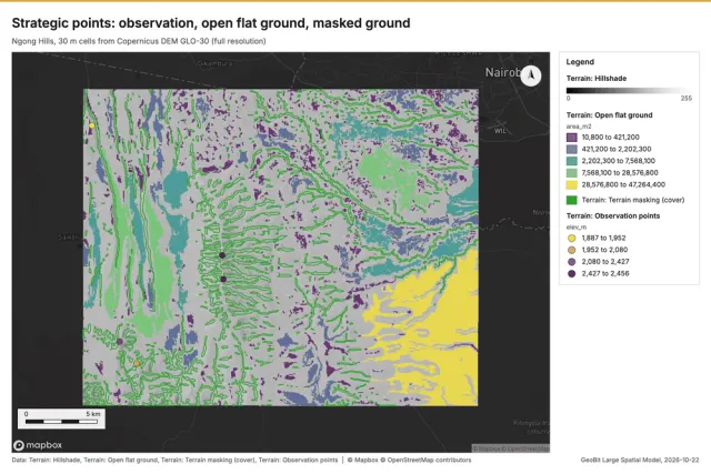
Strategic points
Observation points (high ground ranked by what it sees), open flat ground and terrain-masked areas.
Hydrology
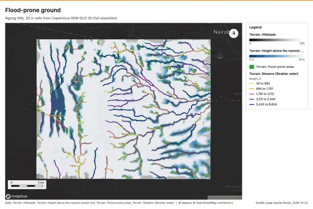
Flood-prone ground
Ground close above the drainage: height above the nearest stream (HAND) and the ground within a few meters of it, the first to flood when the streams rise (a terrain screen, not a flood model).
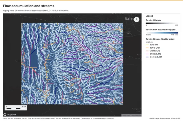
Flow accumulation
Depression-filled D8 flow direction and accumulation, with an optional stream network (Strahler order).
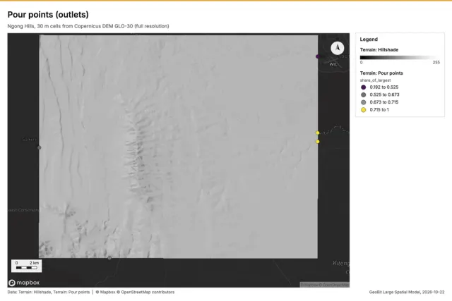
Pour points
Snap given pour points to the strongest flow nearby, or find candidate outlets or confluences ranked by catchment.
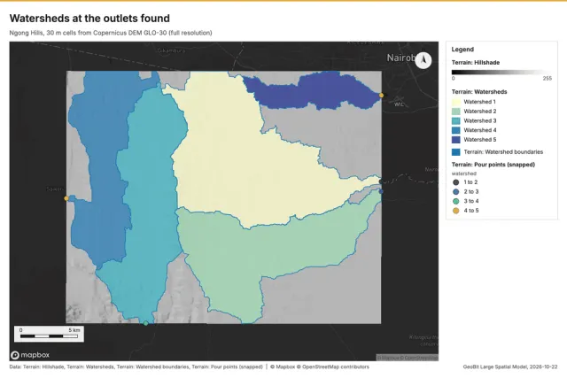
Watershed
Watersheds draining through pour points (snapped to the strongest flow nearby), or the largest outlet basins when no point is given.
Visibility and profiles
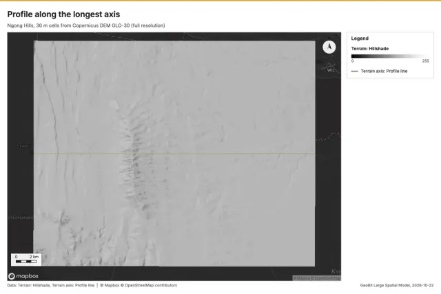
Elevation profile
Elevation along a line: samples, gain and loss, grades and extremes.
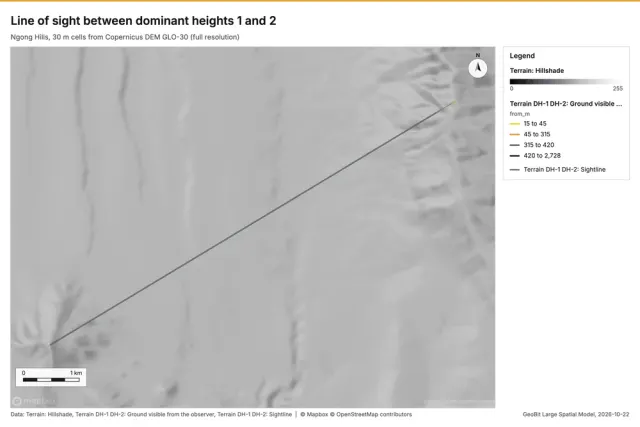
Line of sight
Whether a target is visible from an observer: the first obstruction, the lowest clearance, the ground visible along the line and the clearance profile.
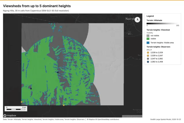
Viewshed
What observers see (forward), where a target is seen from (reverse), or how many sampled targets each cell sees (coverage), with earth curvature and refraction.
Mobility
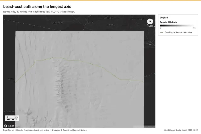
Least-cost path
The fastest route for a mobility class through start, optional vias and end, with up to three alternates, travel time and an optional least-cost corridor.
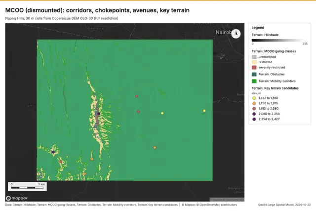
MCOO
Modified combined obstacle overlay: going classes, obstacles with reasons, mobility corridors with width classes, constrictions, avenues toward an objective, key terrain candidates with reasons and the OAKOC rows.
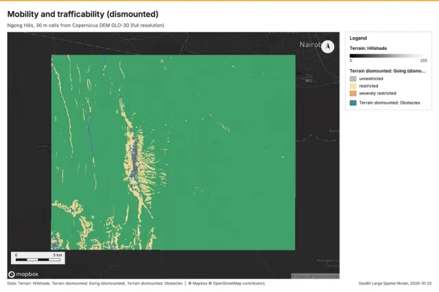
Mobility
Going classes (unrestricted, restricted, severely restricted) and off-road speed for a mobility class, obstacle regions, and optional travel time and bands from an origin.
Solar
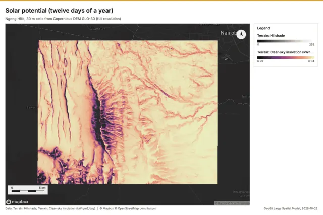
Hazards
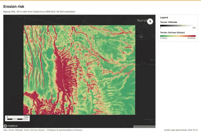
Erosion risk
Soil loss with the RUSLE form (A = R K LS C P) and its LS factor from the flow field.
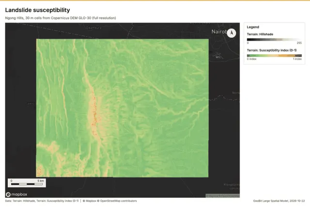
Landslide susceptibility
Terrain susceptibility index from slope, wetness, plan concavity and relief, in five classes.
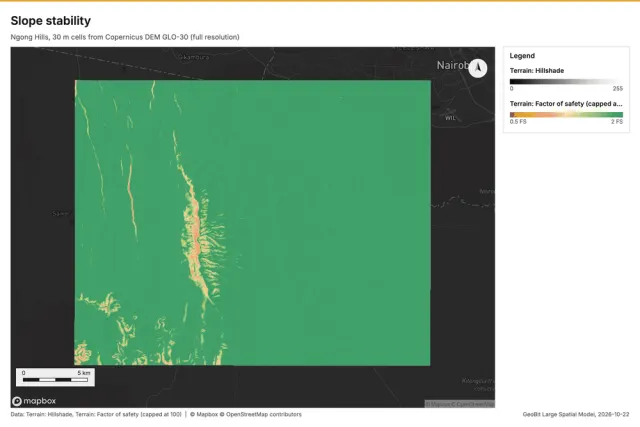
Slope stability
Infinite-slope factor of safety from soil parameters (or slope-class zoning).
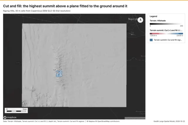
Volumes
Suitability
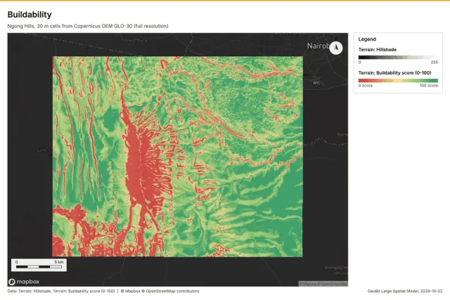
Buildability
Weighted buildability score (slope, equator-facing aspect, elevation limits) with the steep and optional wet ground excluded.
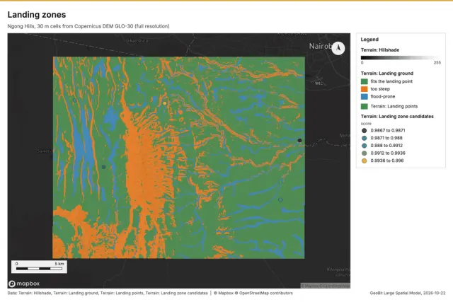
Landing zones
Open, gently sloping ground large enough for a landing point of a given diameter, unobserved by the given observers and off flood-prone ground, ranked by size, margin, nearness to an objective and flatness (a map study for reconnaissance).
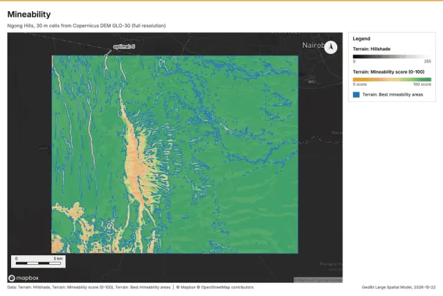
Mineability
Terrain mineability score (slope, elevation limits, aspect) in five classes.
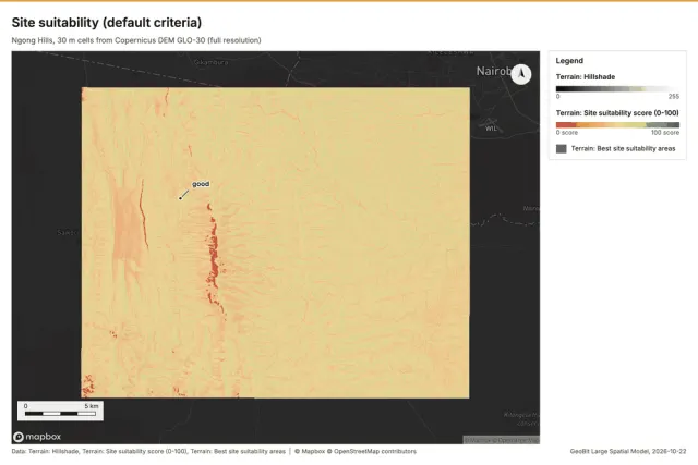
Site suitability
Weighted overlay of named terrain criteria (or a preset: site, buildability, mineability, solar) with constraints; distance criteria may use the caller's own layers.
Communications
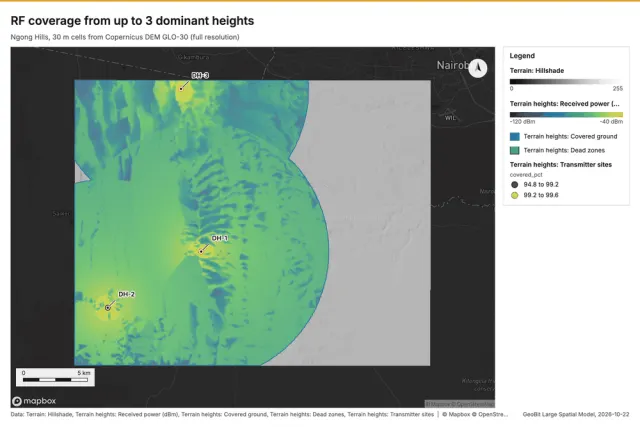
Suite
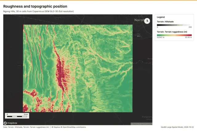
Elevation: Copernicus DEM GLO-30, (c) DLR e.V. 2010-2014 and (c) Airbus Defence and Space GmbH 2014-2018, provided under COPERNICUS by the European Union and ESA.