Landing zones
tr_landing_zones
What it does
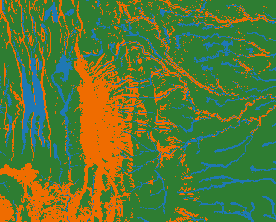
Open, gently sloping ground large enough for a landing point of a given diameter, unobserved by the given observers and off flood-prone ground, ranked by size, margin, nearness to an objective and flatness (a map study for reconnaissance).
Like No single tool (Slope + Euclidean Distance + Viewshed suitability workflow) in ArcGIS Pro and No equivalent in QGIS. Run by the product's terrain engine on 30 m cells from Copernicus DEM GLO-30 (full resolution): 740 x 930 = 688,200 cells; no model was called.
Landing zones
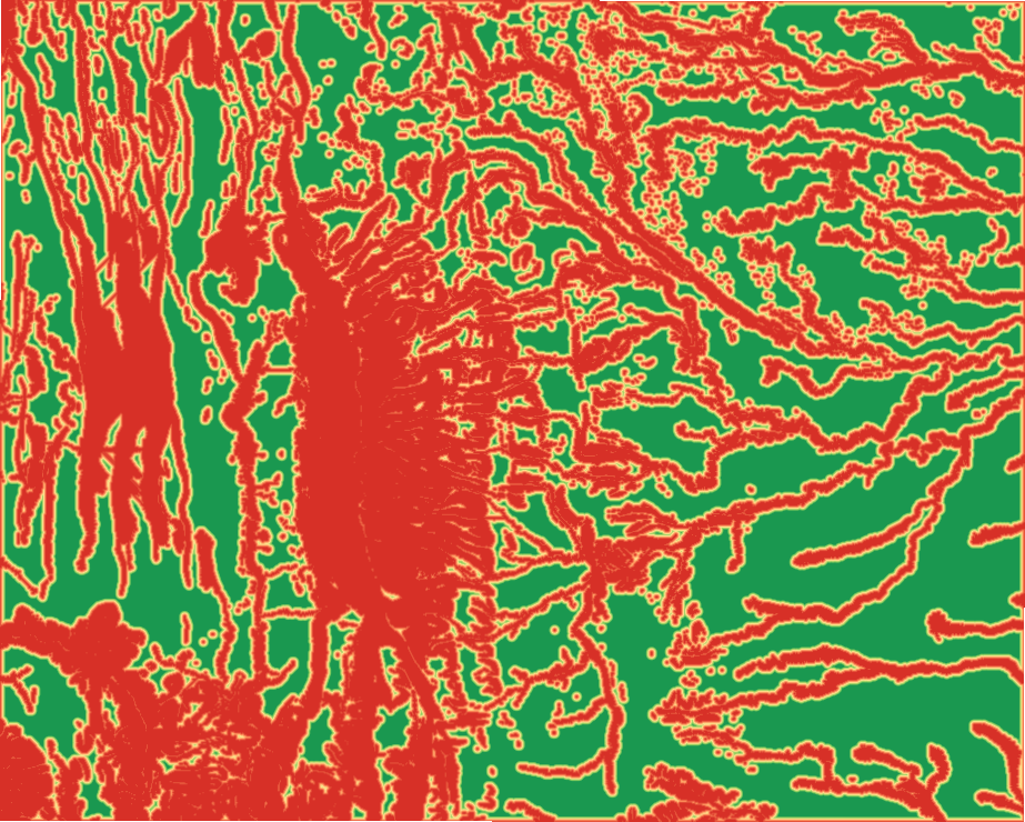
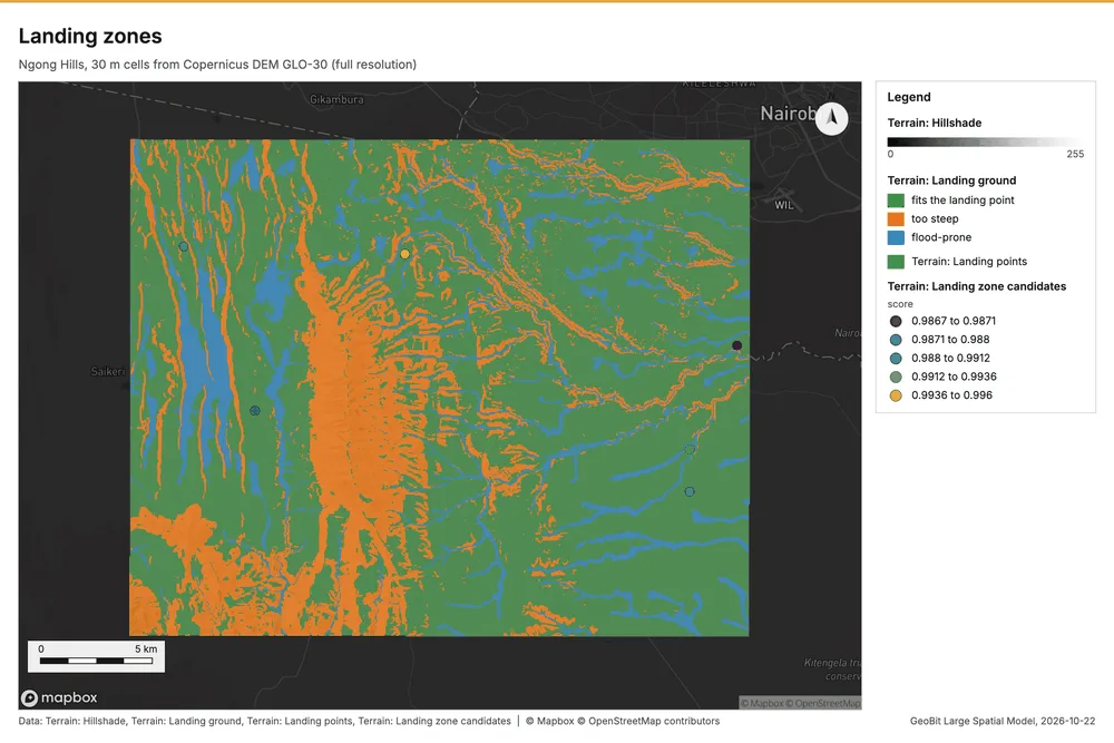
Landing zones for a 29.9 m medium helicopter landing point (slope up to 7 degrees): 6 candidate(s); 66.8% of the ground fits the landing point.
Parameters
| Parameter | Value |
|---|---|
| cell_size_m | 30 |
| exclude_flood_prone | yes |
Numbers
| Measure | Value |
|---|---|
| zones | 6 |
| candidates_evaluated | 400 |
| usable_pct | 66.8 |
| fits_pct | 66.8 |
| too_steep_pct | 22.46 |
| observed_pct | 0 |
| wet_pct | 11.27 |
| diameter_m | 29.9 |
| max_slope_deg | 7 |
| weights.size | 0.7143 |
| weights.flatness | 0.2857 |
| min_separation_m | 600 |
| cell_m | 30 |
| profile | medium |
| dem.rows | 740 |
| dem.cols | 930 |
| dem.cell_m | 30 |
| dem.crs | EPSG:32737 |
| dem.missing_frac | 0 |
| dem.elev_min_m | 1,562 |
| dem.elev_max_m | 2,456 |
| dem.elev_mean_m | 1,824 |
| dem.relief_m | 894.3 |
| dem_source.kind | copernicus |
| dem_source.native_res_m | 30.91 |
| dem_source.crs | EPSG:4326 |
| dem_source.dataset | Copernicus DEM GLO-30 |
Notes
- DEM: Copernicus DEM GLO-30 (open data; cached). Copernicus DEM GLO-30: produced using Copernicus WorldDEM-30 (c) DLR e.V. 2010-2014 and (c) Airbus Defence and Space GmbH 2014-2018 provided under COPERNICUS by the European Union and ESA
- the grid (30 m) is finer than the DEM (30.9 m): values between DEM samples are interpolated
- map study: bare earth only (vegetation, wires, buildings, surface and wind are not modeled); every zone needs ground or air reconnaissance before use