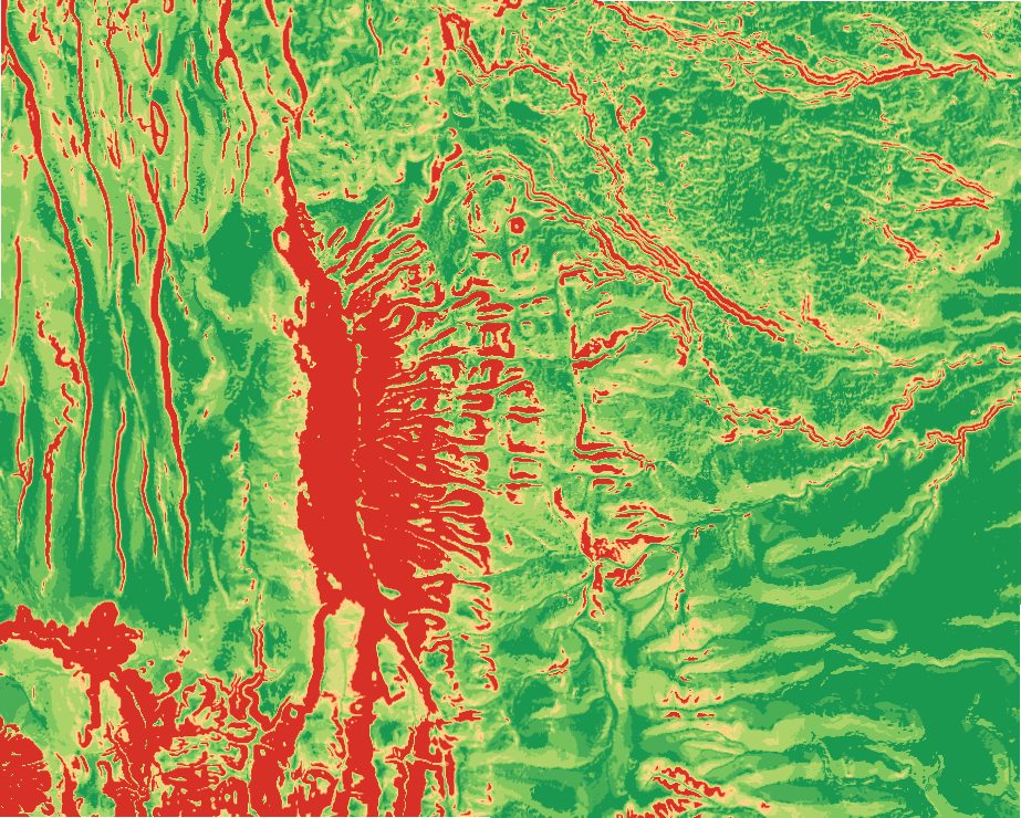
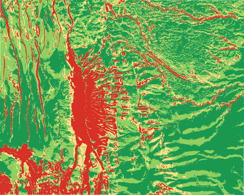
Buildability
tr_buildability
What it does
Weighted buildability score (slope, equator-facing aspect, elevation limits) with the steep and optional wet ground excluded.
Like Suitability Modeler / Weighted Overlay in ArcGIS Pro and Raster calculator (weighted overlay) in QGIS. Run by the product's terrain engine on 30 m cells from Copernicus DEM GLO-30 (full resolution): 740 x 930 = 688,200 cells; no model was called.
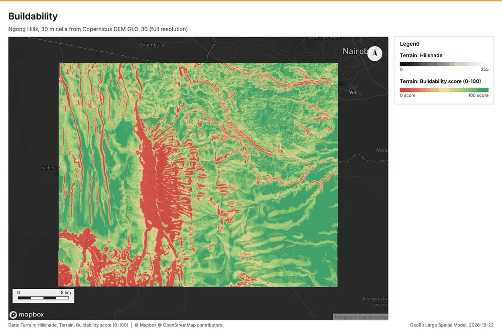
Buildability
Buildability: 41.9% optimal, 30.8% suitable; mean score 67/100; 17.0% excluded by constraints.
Parameters
| Parameter | Value |
|---|---|
| cell_size_m | 30 |
Numbers
| Measure | Value |
|---|---|
| weights.slope_pct | 0.5 |
| weights.aspect | 0.3 |
| weights.elevation | 0.2 |
| preset | buildability |
| score.min | 0 |
| score.max | 100 |
| score.mean | 67.23 |
| score.median | 79 |
| dem.rows | 740 |
| dem.cols | 930 |
| dem.cell_m | 30 |
| dem.crs | EPSG:32737 |
| dem.missing_frac | 0 |
| dem.elev_min_m | 1,562 |
| dem.elev_max_m | 2,456 |
| dem.elev_mean_m | 1,824 |
| dem.relief_m | 894.3 |
| dem_source.kind | copernicus |
| dem_source.native_res_m | 30.91 |
| dem_source.crs | EPSG:4326 |
| dem_source.dataset | Copernicus DEM GLO-30 |
Notes
- DEM: Copernicus DEM GLO-30 (open data; cached). Copernicus DEM GLO-30: produced using Copernicus WorldDEM-30 (c) DLR e.V. 2010-2014 and (c) Airbus Defence and Space GmbH 2014-2018 provided under COPERNICUS by the European Union and ESA
- the grid (30 m) is finer than the DEM (30.9 m): values between DEM samples are interpolated