Cut and fill
tr_volume
What it does
Cut and fill volumes between the ground and a reference (plane, lowest, highest, mean, a plane fitted to the boundary, or a second surface) inside a polygon.
Like Cut Fill / Surface Volume (3D Analyst) in ArcGIS Pro and Raster Surface Volume in QGIS. Run by the product's terrain engine on 30 m cells from Copernicus DEM GLO-30 (full resolution): 740 x 930 = 688,200 cells; no model was called.
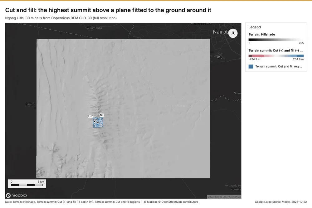
Cut and fill: the highest summit above a plane fitted to the ground around it
Cut 181,458,673 m3 and fill 22,607,436 m3 against the boundary_plane reference (net 158,851,236 m3) over 229.05 ha.
Parameters
| Parameter | Value |
|---|---|
| cell_size_m | 30 |
| polygon | a 1.5 km square around dominant height DH-1 (-1.4202, 36.6387, 2,456 m) |
| reference | boundary_plane |
Numbers
| Measure | Value |
|---|---|
| cut_m3 | 181,458,673 |
| fill_m3 | 22,607,436 |
| net_m3 | 158,851,236 |
| area_m2 | 2,290,500 |
| cells | 2,545 |
| cut_area_m2 | 1,739,700 |
| fill_area_m2 | 5.508e+05 |
| missing_cells | 0 |
| reference | boundary_plane |
| max_cut_m | 234.9 |
| max_fill_m | 119.9 |
| plane.dz_dx | 0.0756 |
| plane.dz_dy | -0.0366 |
| plane.z0 | 983.4 |
| cell_area_m2 | 900 |
| dem.rows | 740 |
| dem.cols | 930 |
| dem.cell_m | 30 |
| dem.crs | EPSG:32737 |
| dem.missing_frac | 0 |
| dem.elev_min_m | 1,562 |
| dem.elev_max_m | 2,456 |
| dem.elev_mean_m | 1,824 |
| dem.relief_m | 894.3 |
| dem_source.kind | copernicus |
| dem_source.native_res_m | 30.91 |
| dem_source.crs | EPSG:4326 |
| dem_source.dataset | Copernicus DEM GLO-30 |
Notes
- DEM: Copernicus DEM GLO-30 (open data; cached). Copernicus DEM GLO-30: produced using Copernicus WorldDEM-30 (c) DLR e.V. 2010-2014 and (c) Airbus Defence and Space GmbH 2014-2018 provided under COPERNICUS by the European Union and ESA
- the grid (30 m) is finer than the DEM (30.9 m): values between DEM samples are interpolated