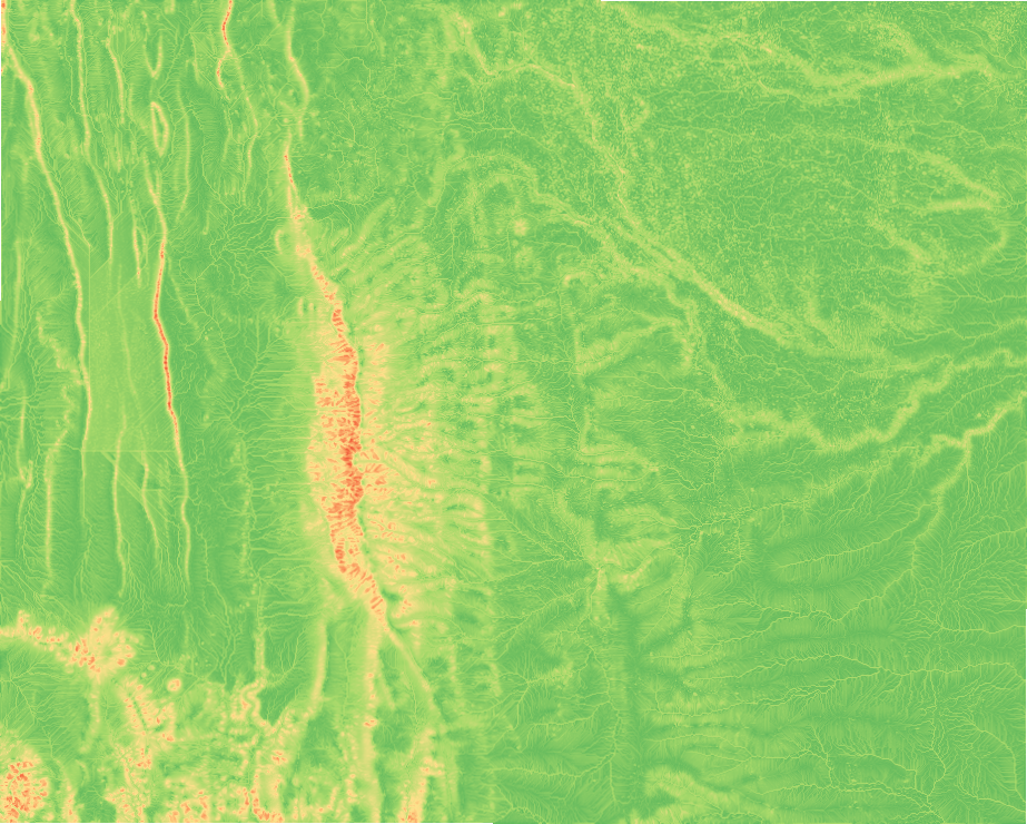
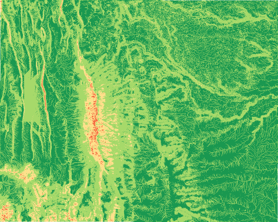
Landslide susceptibility
tr_landslide_susceptibility
What it does
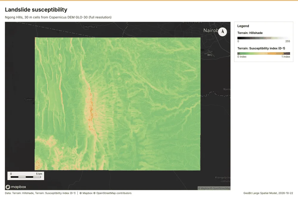
Terrain susceptibility index from slope, wetness, plan concavity and relief, in five classes.
Like No direct tool (Weighted Overlay workflow) in ArcGIS Pro and No direct tool (Raster calculator) in QGIS. Run by the product's terrain engine on 30 m cells from Copernicus DEM GLO-30 (full resolution): 740 x 930 = 688,200 cells; no model was called.
Landslide susceptibility
Landslide susceptibility (terrain index): 0.4% high or very high; weights {'slope': 0.5, 'wetness': 0.25, 'concavity': 0.15, 'relief': 0.1}.
Parameters
| Parameter | Value |
|---|---|
| cell_size_m | 30 |
Numbers
| Measure | Value |
|---|---|
| weights.slope | 0.5 |
| weights.wetness | 0.25 |
| weights.concavity | 0.15 |
| weights.relief | 0.1 |
| index.min | 0.1241 |
| index.max | 0.8238 |
| index.mean | 0.2242 |
| index.median | 0.2011 |
| dem.rows | 740 |
| dem.cols | 930 |
| dem.cell_m | 30 |
| dem.crs | EPSG:32737 |
| dem.missing_frac | 0 |
| dem.elev_min_m | 1,562 |
| dem.elev_max_m | 2,456 |
| dem.elev_mean_m | 1,824 |
| dem.relief_m | 894.3 |
| dem_source.kind | copernicus |
| dem_source.native_res_m | 30.91 |
| dem_source.crs | EPSG:4326 |
| dem_source.dataset | Copernicus DEM GLO-30 |
Notes
- DEM: Copernicus DEM GLO-30 (open data; cached). Copernicus DEM GLO-30: produced using Copernicus WorldDEM-30 (c) DLR e.V. 2010-2014 and (c) Airbus Defence and Space GmbH 2014-2018 provided under COPERNICUS by the European Union and ESA
- the grid (30 m) is finer than the DEM (30.9 m): values between DEM samples are interpolated
- terrain factors only: geology, land cover, rainfall and earthquakes are not modeled