Slope stability
tr_slope_stability
What it does
Infinite-slope factor of safety from soil parameters (or slope-class zoning).
Like No direct tool (Raster Calculator workflow) in ArcGIS Pro and GRASS r.shalstab (addon) in QGIS. Run by the product's terrain engine on 30 m cells from Copernicus DEM GLO-30 (full resolution): 740 x 930 = 688,200 cells; no model was called.
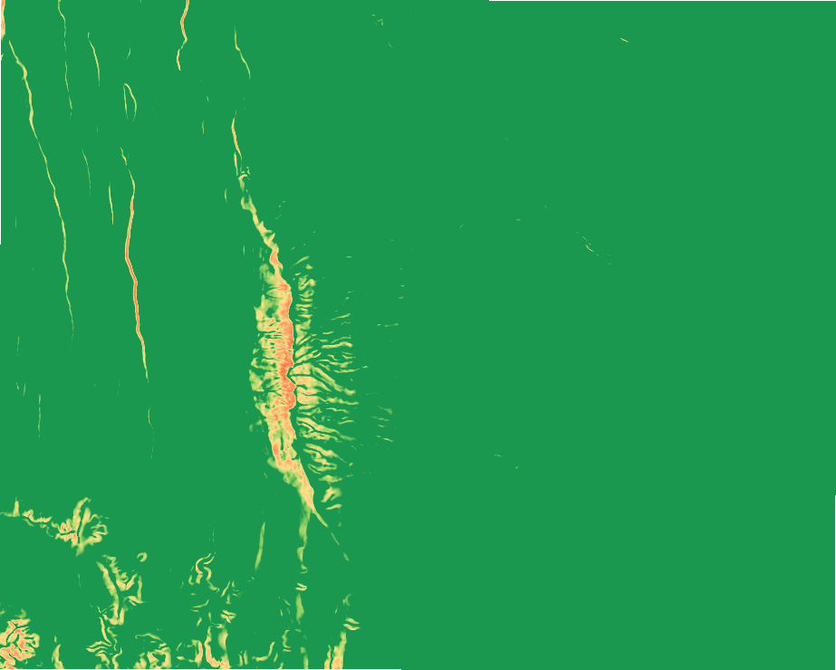
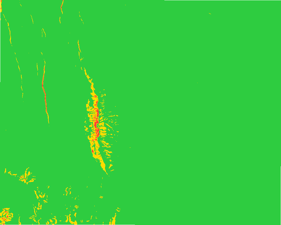
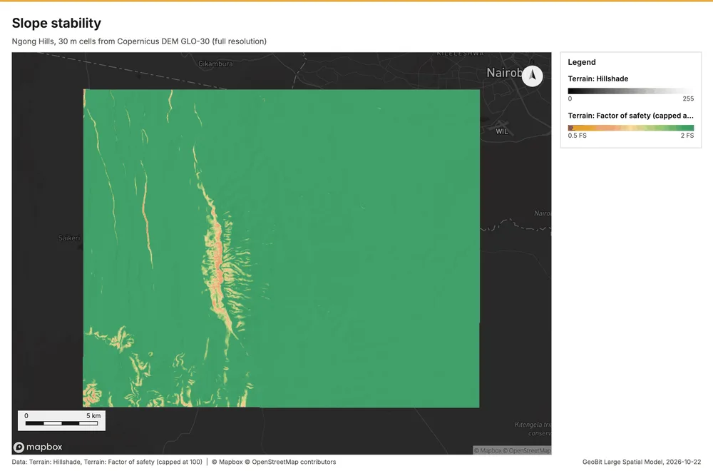
Slope stability
Infinite-slope factor of safety: 0.2% unstable (FS < 1), 1.9% marginal; lowest FS 0.74.
Parameters
| Parameter | Value |
|---|---|
| cell_size_m | 30 |
Numbers
| Measure | Value |
|---|---|
| method | infinite_slope |
| params.cohesion_kpa | 5 |
| params.friction_deg | 30 |
| params.unit_weight_kn_m3 | 18 |
| params.soil_depth_m | 1.5 |
| params.saturation | 0.5 |
| fs.min | 0.74 |
| fs.max | 100 |
| fs.mean | 37.33 |
| fs.median | 10.61 |
| dem.rows | 740 |
| dem.cols | 930 |
| dem.cell_m | 30 |
| dem.crs | EPSG:32737 |
| dem.missing_frac | 0 |
| dem.elev_min_m | 1,562 |
| dem.elev_max_m | 2,456 |
| dem.elev_mean_m | 1,824 |
| dem.relief_m | 894.3 |
| dem_source.kind | copernicus |
| dem_source.native_res_m | 30.91 |
| dem_source.crs | EPSG:4326 |
| dem_source.dataset | Copernicus DEM GLO-30 |
Notes
- DEM: Copernicus DEM GLO-30 (open data; cached). Copernicus DEM GLO-30: produced using Copernicus WorldDEM-30 (c) DLR e.V. 2010-2014 and (c) Airbus Defence and Space GmbH 2014-2018 provided under COPERNICUS by the European Union and ESA
- the grid (30 m) is finer than the DEM (30.9 m): values between DEM samples are interpolated
- uniform soil parameters (set them for the site); geology and groundwater beyond the saturation model are not modeled