MCOO
tr_mcoo
What it does
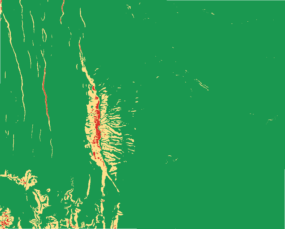
Modified combined obstacle overlay: going classes, obstacles with reasons, mobility corridors with width classes, constrictions, avenues toward an objective, key terrain candidates with reasons and the OAKOC rows.
Like No single tool (Defense mapping MCOO workflow) in ArcGIS Pro and No equivalent in QGIS. Run by the product's terrain engine on 30 m cells from Copernicus DEM GLO-30 (full resolution): 740 x 930 = 688,200 cells; no model was called.
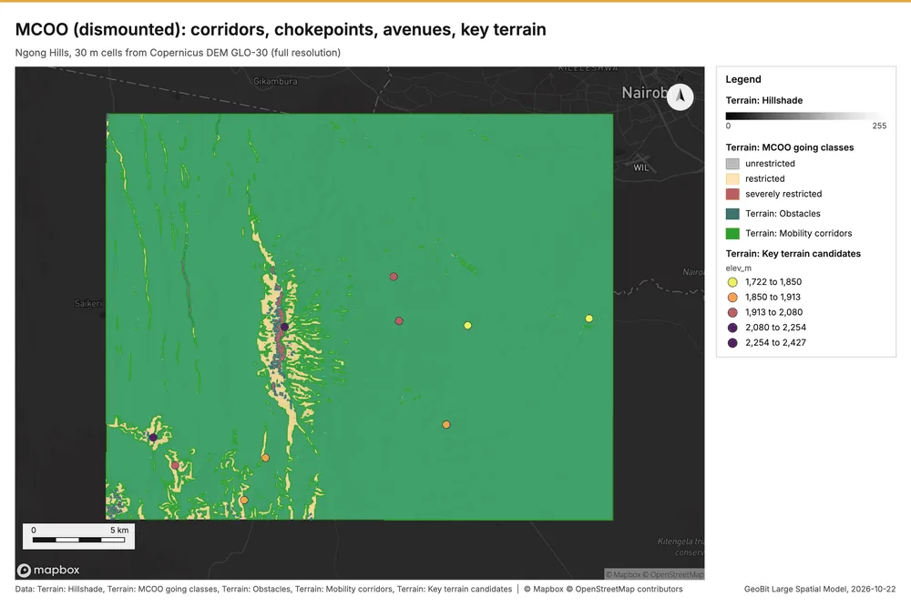
MCOO (dismounted): corridors, chokepoints, avenues, key terrain
MCOO (dismounted): 63 obstacle(s), 47 corridor(s), 10 key terrain candidate(s), 4 avenue(s).
Parameters
| Parameter | Value |
|---|---|
| cell_size_m | 30 |
| mobility_class | dismounted |
Numbers
| Measure | Value |
|---|---|
| class_pct.unknown (no elevation) | 0 |
| class_pct.unrestricted | 94.43 |
| class_pct.restricted | 5.11 |
| class_pct.severely restricted | 0.45 |
| obstacles | 63 |
| corridors | 47 |
| avenues | 4 |
| constrictions | 92 |
| unit_widths.squad | 50 |
| unit_widths.platoon | 100 |
| unit_widths.company | 250 |
| unit_widths.battalion | 750 |
| dem.rows | 740 |
| dem.cols | 930 |
| dem.cell_m | 30 |
| dem.crs | EPSG:32737 |
| dem.missing_frac | 0 |
| dem.elev_min_m | 1,562 |
| dem.elev_max_m | 2,456 |
| dem.elev_mean_m | 1,824 |
| dem.relief_m | 894.3 |
| dem_source.kind | copernicus |
| dem_source.native_res_m | 30.91 |
| dem_source.crs | EPSG:4326 |
| dem_source.dataset | Copernicus DEM GLO-30 |
Notes
- DEM: Copernicus DEM GLO-30 (open data; cached). Copernicus DEM GLO-30: produced using Copernicus WorldDEM-30 (c) DLR e.V. 2010-2014 and (c) Airbus Defence and Space GmbH 2014-2018 provided under COPERNICUS by the European Union and ESA
- the grid (30 m) is finer than the DEM (30.9 m): values between DEM samples are interpolated
- GeoBit method defaults (uncalibrated): widths, radii and thresholds are parameters
- going classes from slope and the caller's layers only (no land cover)
Layers
Files
| Layer | Made by | Kind | Features | File |
|---|---|---|---|---|
| Terrain: MCOO going classes | tr_mcoo | raster image | PNG 20 KB | |
| Terrain: Obstacles | tr_mcoo | polygons | 63 | GeoJSON 26 KB |
| Terrain: Mobility corridors | tr_mcoo | polygons | 47 | GeoJSON 109 KB |
| Terrain: Key terrain candidates | tr_mcoo | points | 10 | GeoJSON 4 KB |
| Terrain: Corridor constrictions | tr_mcoo | points | 92 | GeoJSON 21 KB |
| Terrain: Avenues of approach | tr_mcoo | linestrings | 4 | GeoJSON 4 KB |