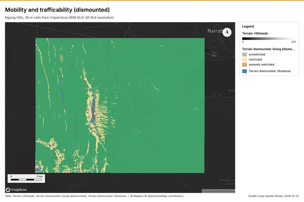
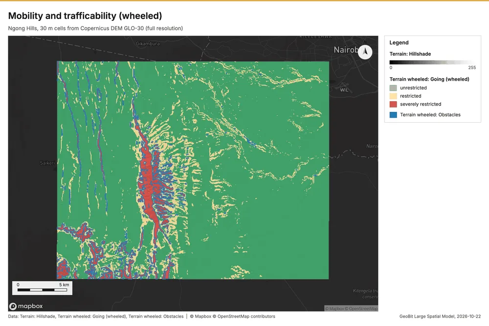
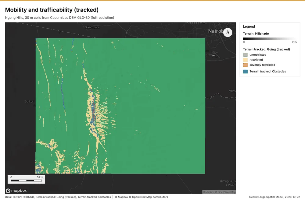
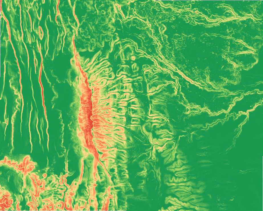
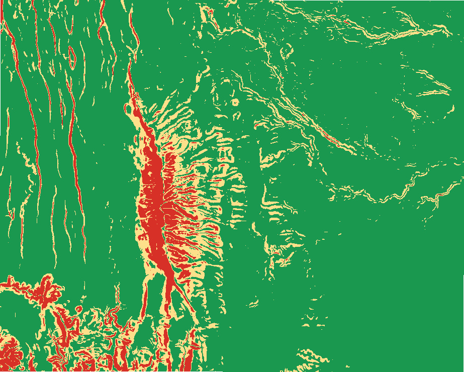
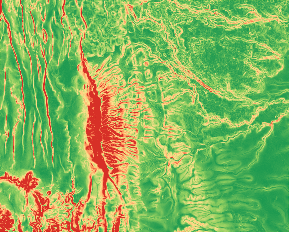
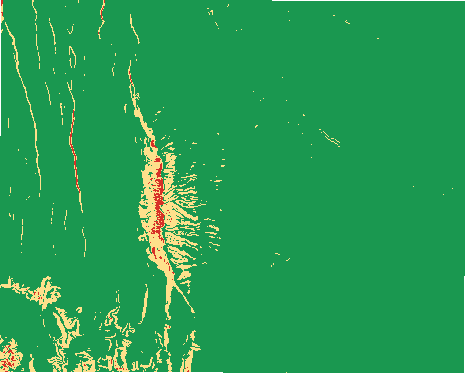
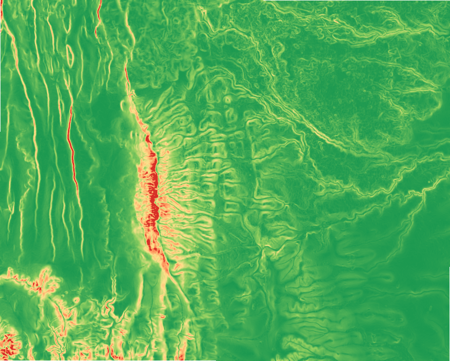
Ngong Hills and the Rift Valley escarpment, Kajiado, KenyaMobility3 calls
What it does
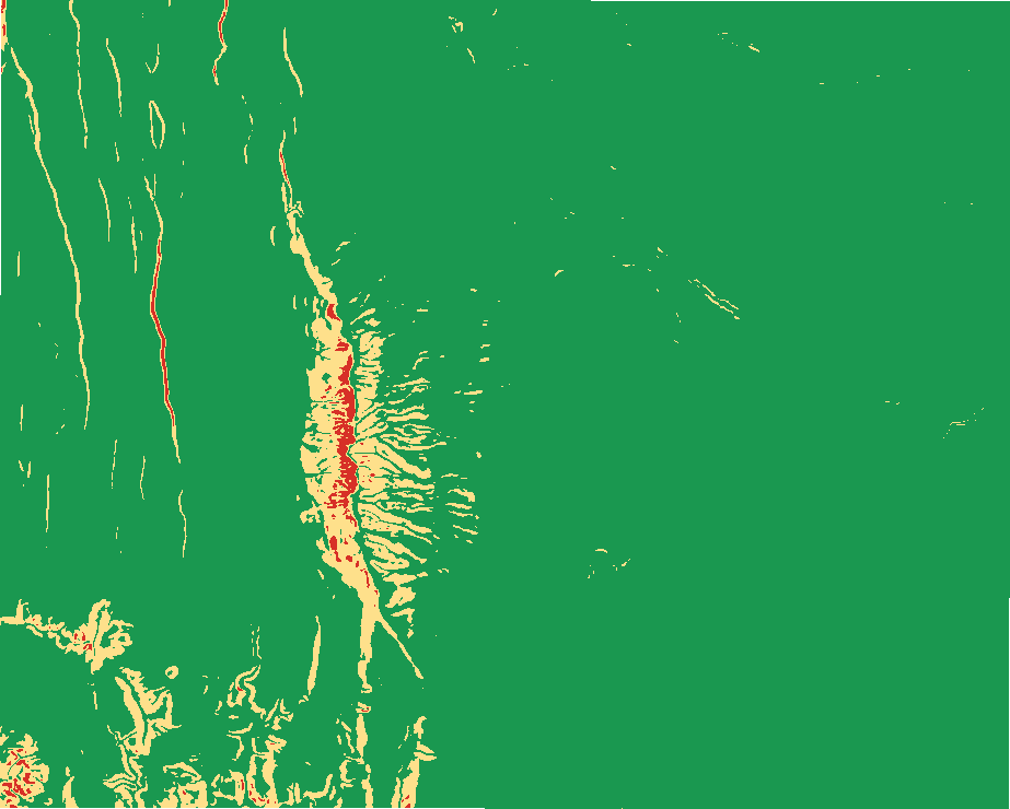
Going classes (unrestricted, restricted, severely restricted) and off-road speed for a mobility class, obstacle regions, and optional travel time and bands from an origin.
Like Cost surface workflow (Reclassify + Weighted Overlay + Distance Accumulation) in ArcGIS Pro and Raster calculator + GRASS r.walk in QGIS. Run by the product's terrain engine on 30 m cells from Copernicus DEM GLO-30 (full resolution): 740 x 930 = 688,200 cells; no model was called.
DEM: Copernicus DEM GLO-30 (open data; cached). Copernicus DEM GLO-30: produced using Copernicus WorldDEM-30 (c) DLR e.V. 2010-2014 and (c) Airbus Defence and Space GmbH 2014-2018 provided under COPERNICUS by the European Union and ESA
the grid (30 m) is finer than the DEM (30.9 m): values between DEM samples are interpolated
GeoBit method defaults (uncalibrated); override any value per call
Layers
The 9 layers this analysis made and the hillshade under them, each with its legend; switch them on and off, click a feature for its fields.