Solar potential
tr_solar_potential
What it does
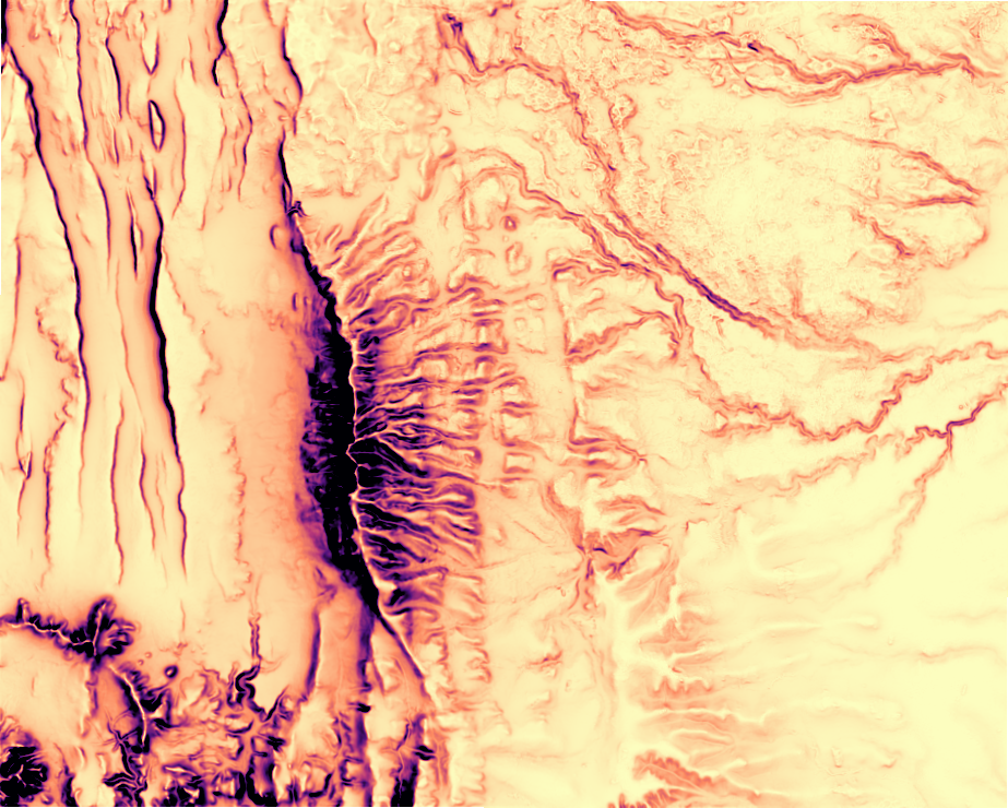
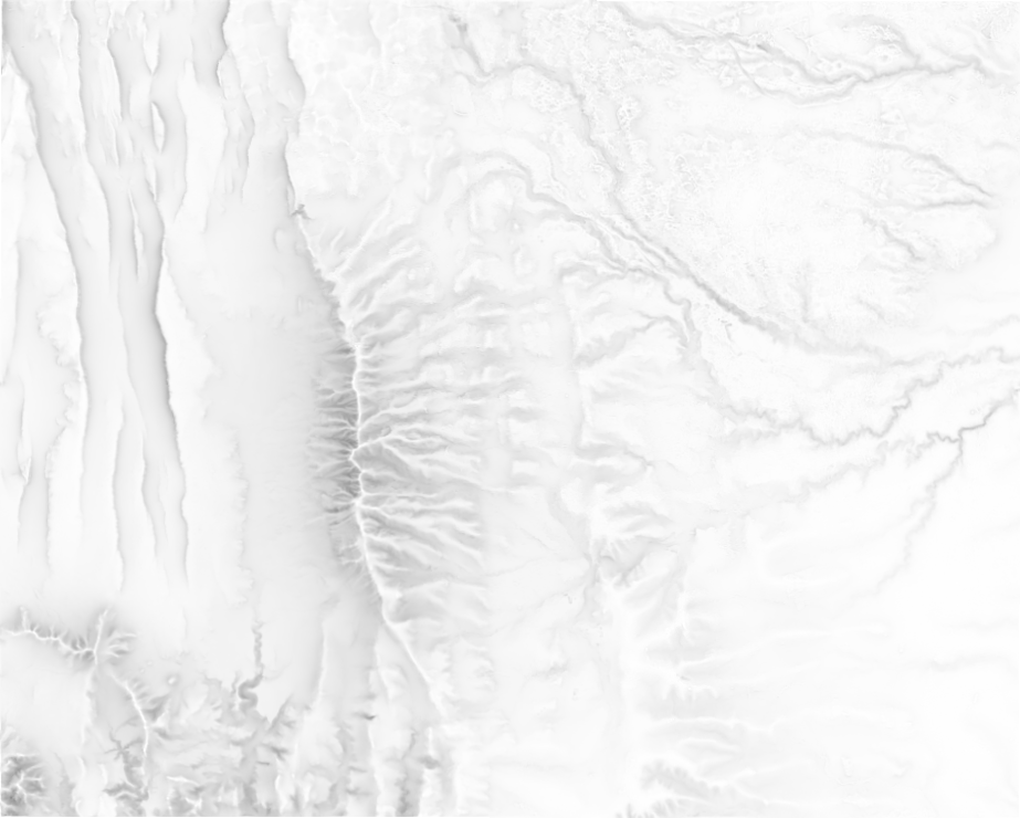
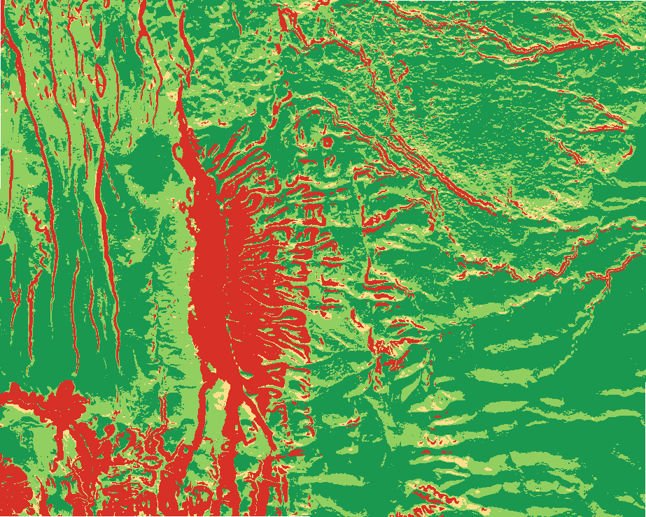
Clear-sky insolation on slopes and aspects with terrain shading over a date range, sky view factor, solar siting classes and energy per class.
Like Area Solar Radiation (Spatial Analyst) in ArcGIS Pro and GRASS r.sun in QGIS. Run by the product's terrain engine on 30 m cells from Copernicus DEM GLO-30 (full resolution): 740 x 930 = 688,200 cells; no model was called.
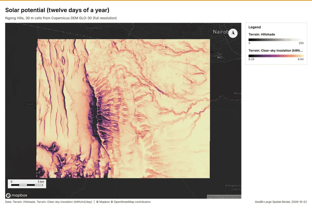
Solar potential (twelve days of a year)
Clear-sky insolation over 365 day(s): mean 6.839 kWh/m2/day (range 4.716 to 6.946); most energy on excellent ground.
Parameters
| Parameter | Value |
|---|---|
| cell_size_m | 30 |
Numbers
| Measure | Value |
|---|---|
| daily_kwh.min | 4.716 |
| daily_kwh.max | 6.946 |
| daily_kwh.mean | 6.839 |
| daily_kwh.median | 6.891 |
| days | 365 |
| lat | -1.4 |
| transmissivity | 0.7 |
| weights.slope_pct | 0.35 |
| weights.aspect | 0.35 |
| weights.insolation | 0.3 |
| dem.rows | 740 |
| dem.cols | 930 |
| dem.cell_m | 30 |
| dem.crs | EPSG:32737 |
| dem.missing_frac | 0 |
| dem.elev_min_m | 1,562 |
| dem.elev_max_m | 2,456 |
| dem.elev_mean_m | 1,824 |
| dem.relief_m | 894.3 |
| dem_source.kind | copernicus |
| dem_source.native_res_m | 30.91 |
| dem_source.crs | EPSG:4326 |
| dem_source.dataset | Copernicus DEM GLO-30 |
Notes
- DEM: Copernicus DEM GLO-30 (open data; cached). Copernicus DEM GLO-30: produced using Copernicus WorldDEM-30 (c) DLR e.V. 2010-2014 and (c) Airbus Defence and Space GmbH 2014-2018 provided under COPERNICUS by the European Union and ESA
- the grid (30 m) is finer than the DEM (30.9 m): values between DEM samples are interpolated
- clear sky: clouds and aerosols beyond the transmissivity are not modeled
- energy = area x ground coverage ratio x insolation x panel efficiency x performance ratio (all parameters)