Terrain analysis
tr_terrain_analysis
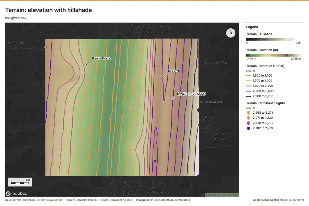
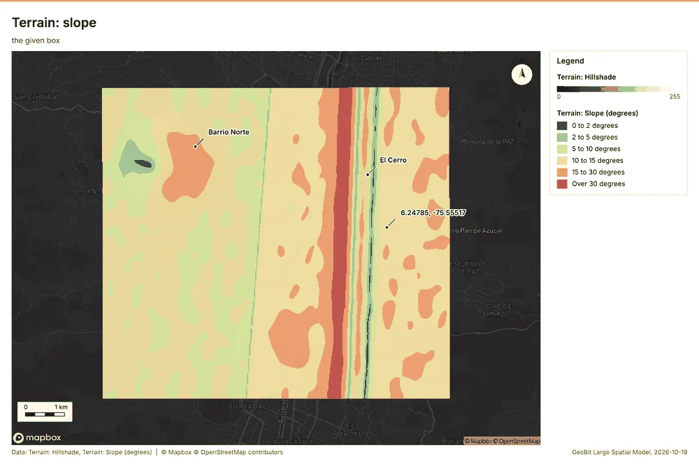
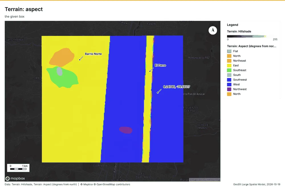
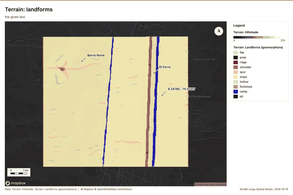
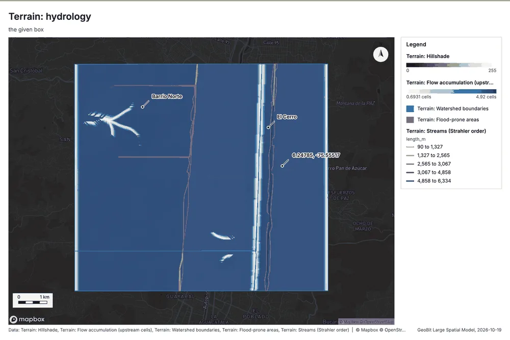
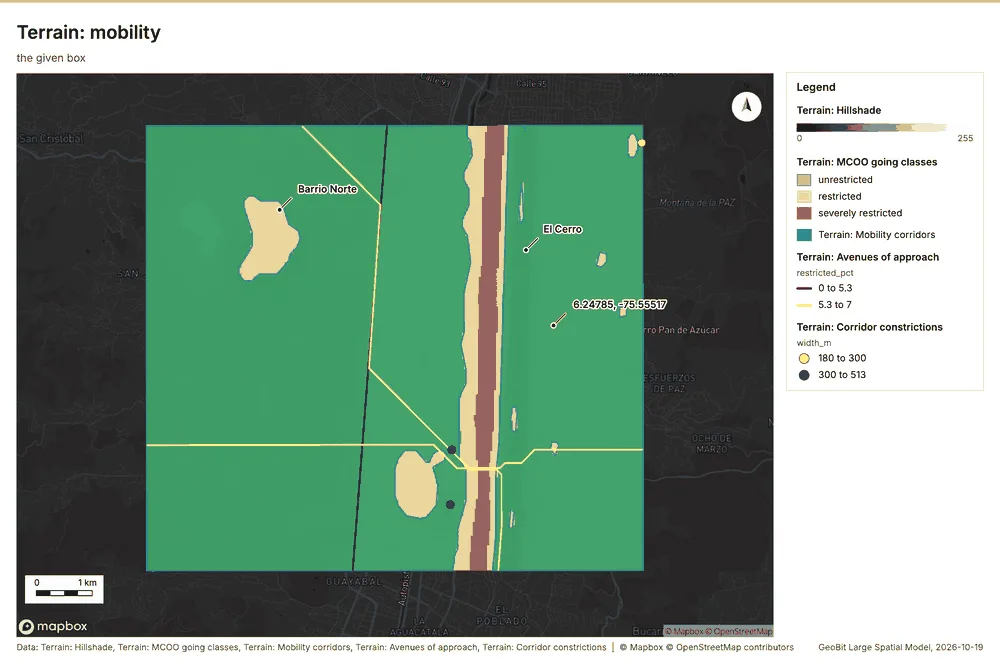
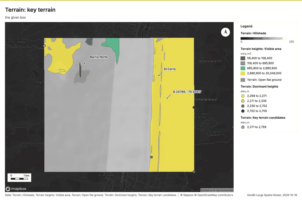
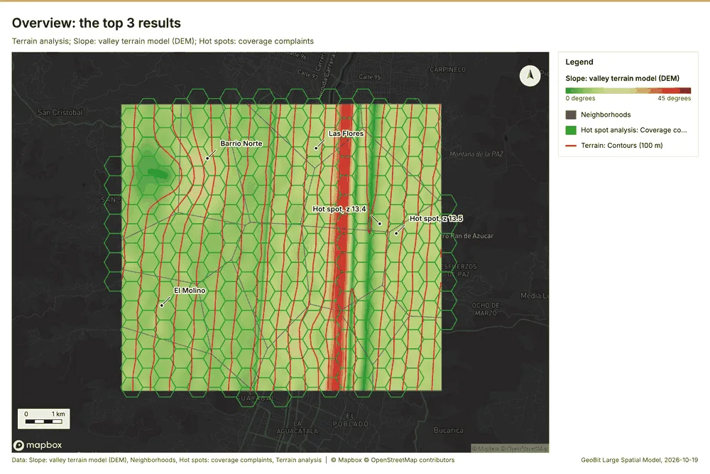
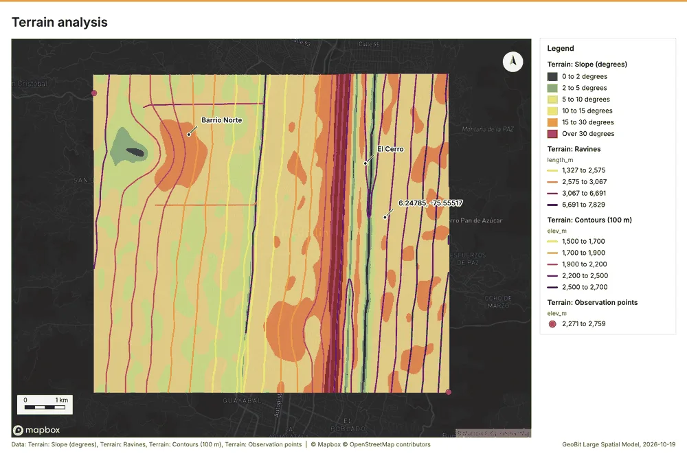
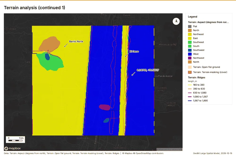
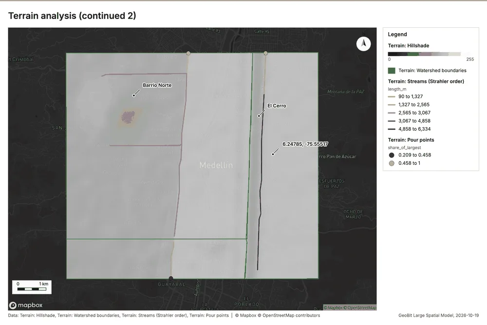
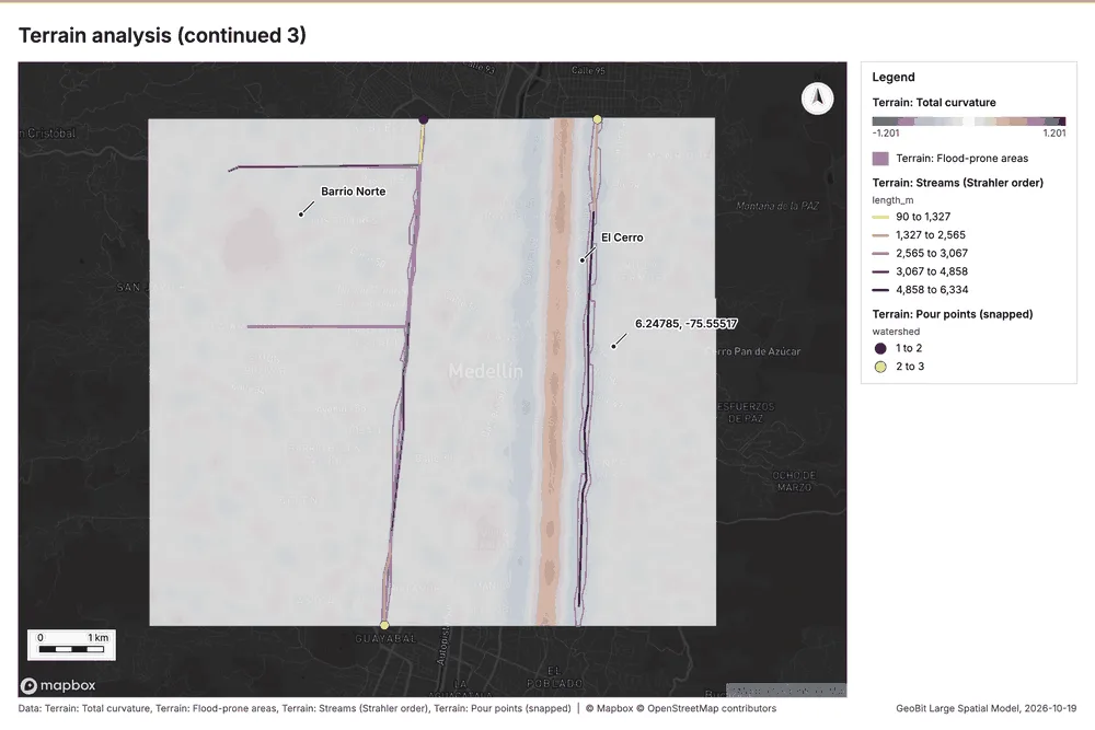
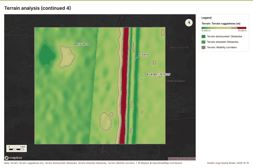
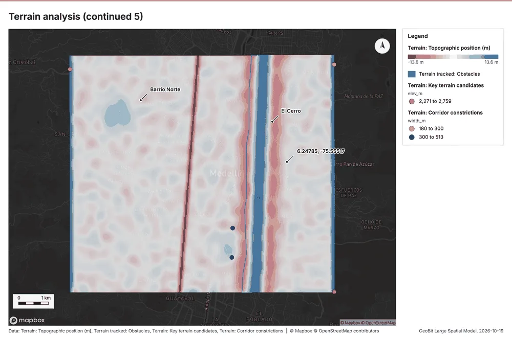
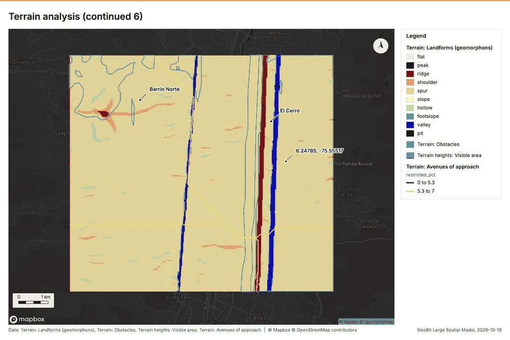
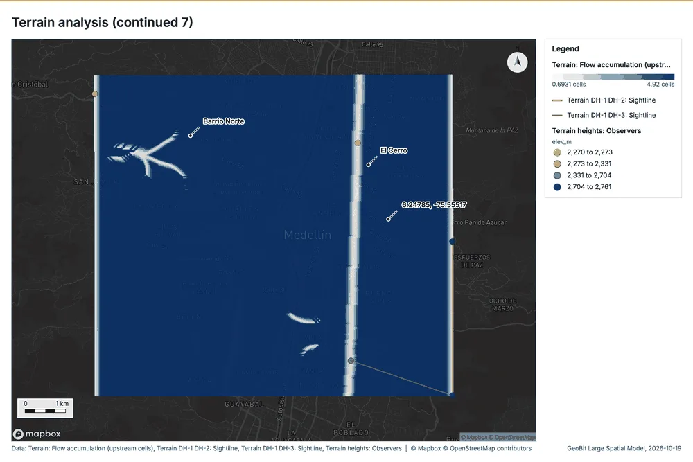
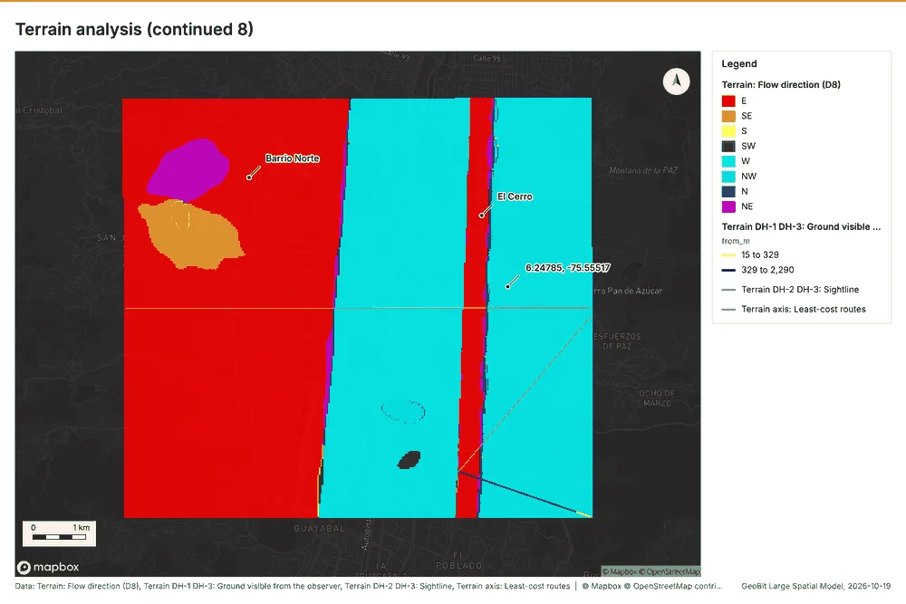
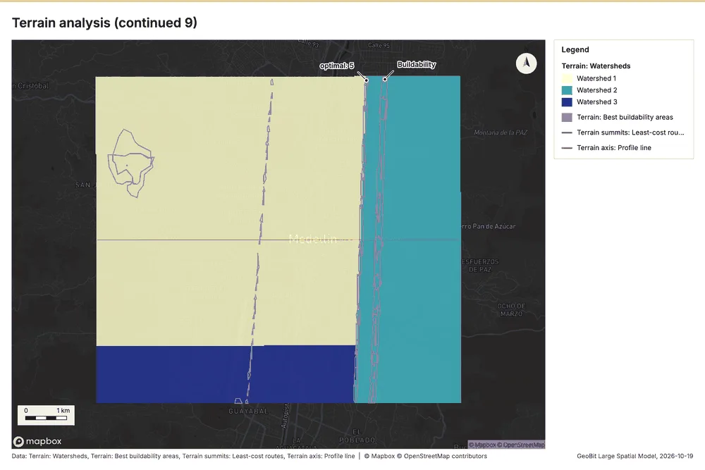
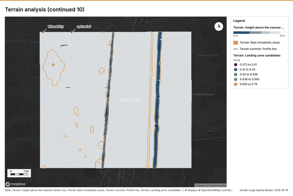
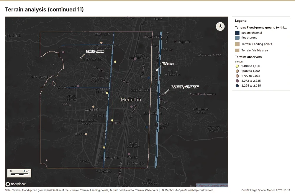
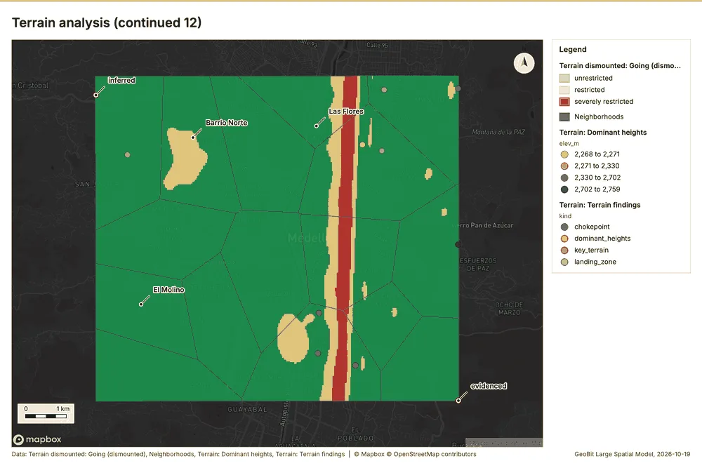
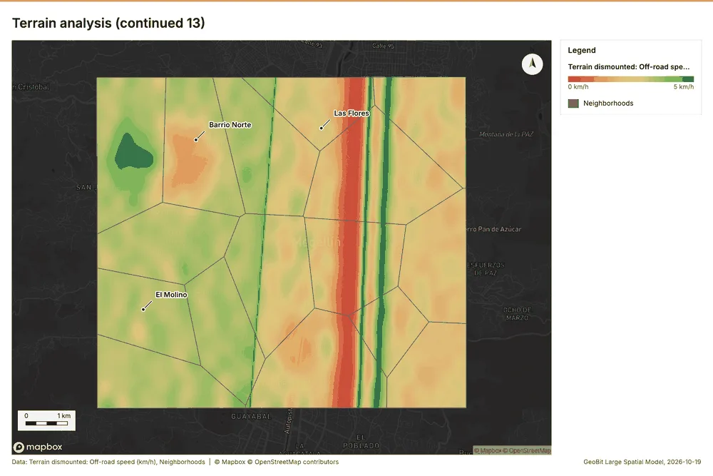
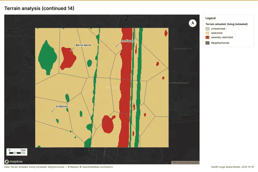
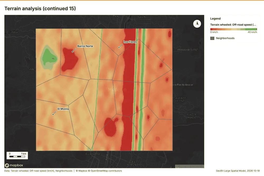
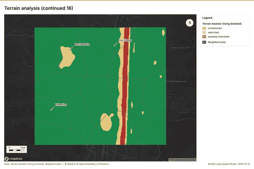
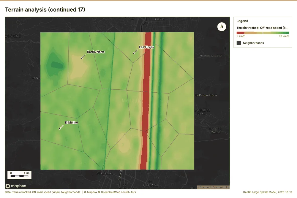
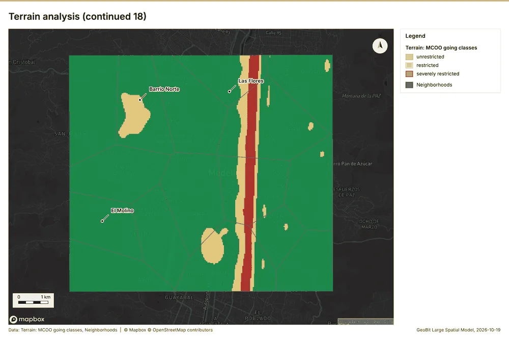
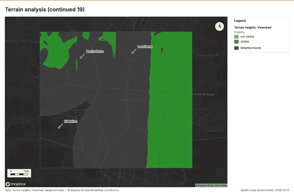
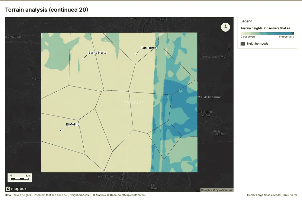
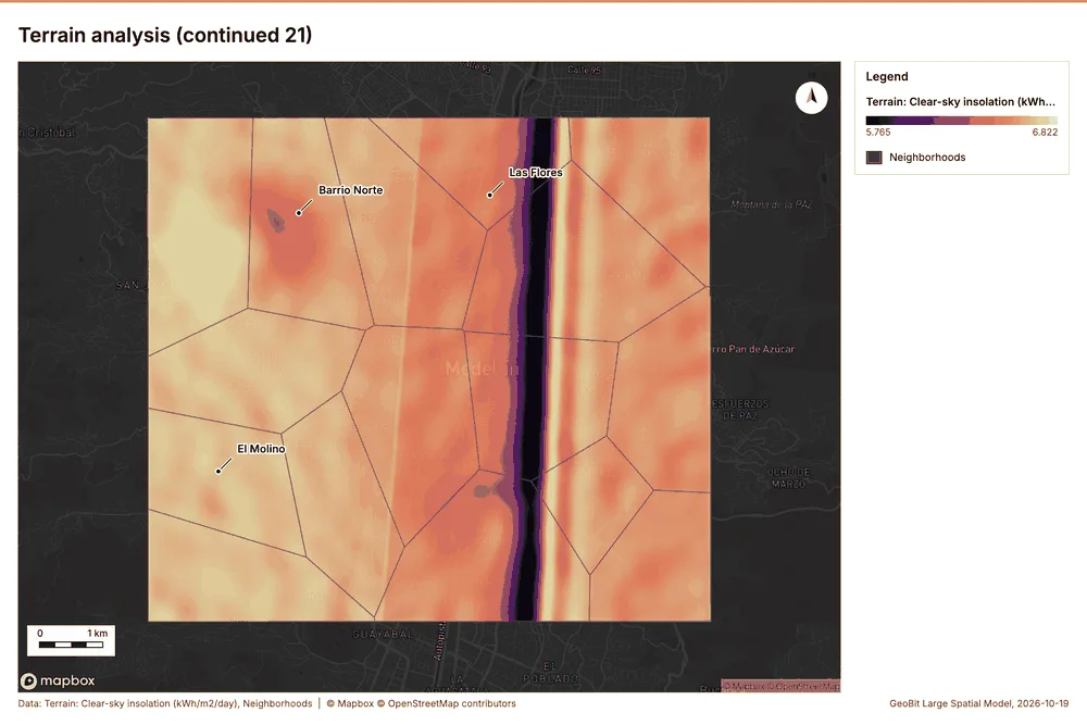
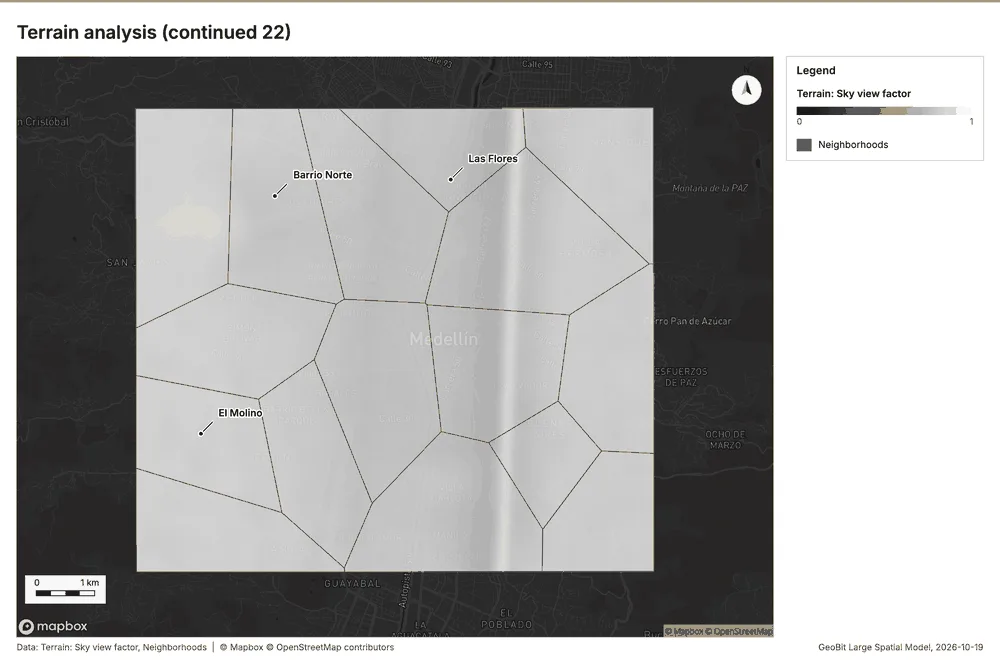
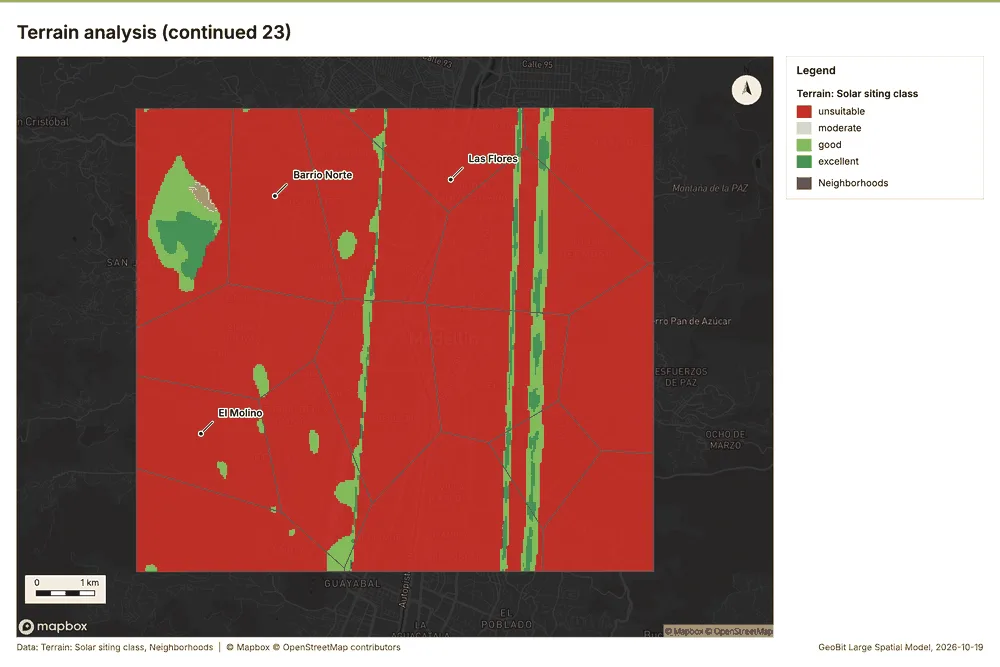
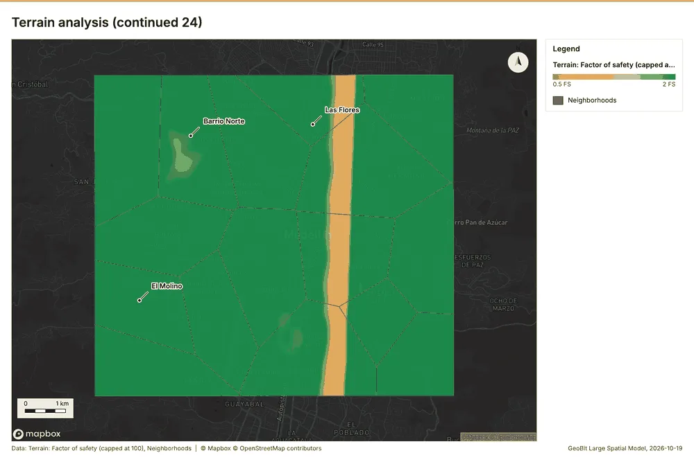
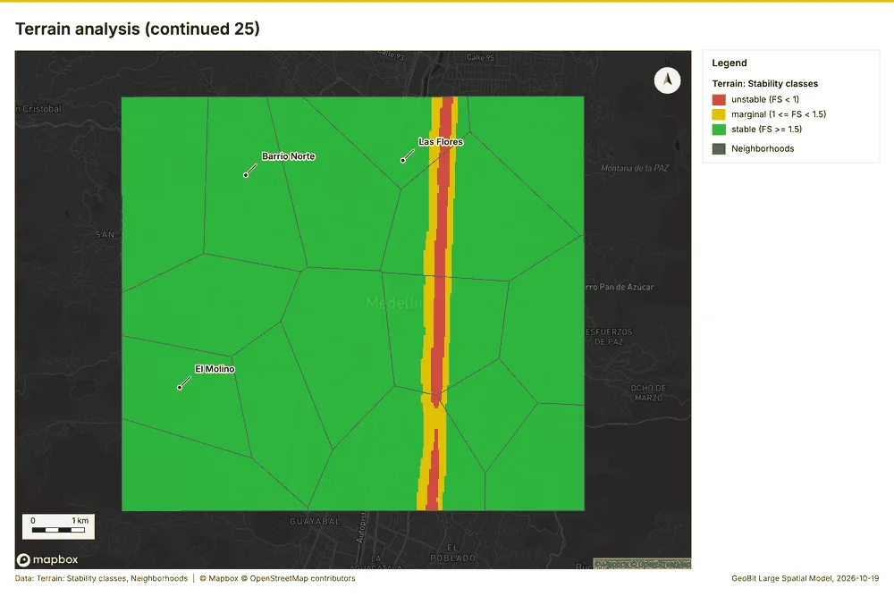
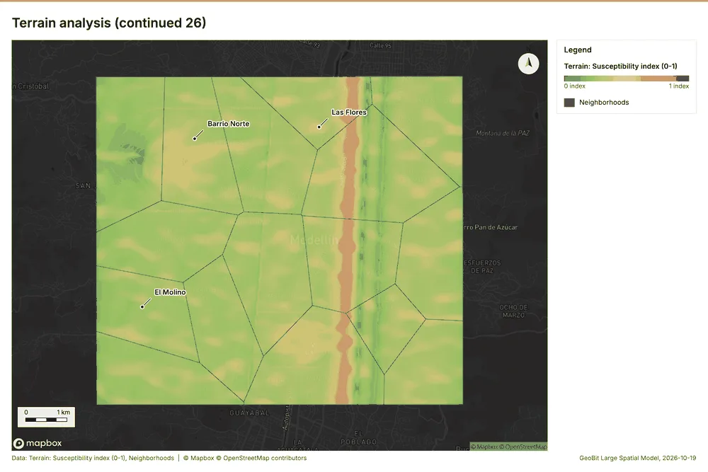
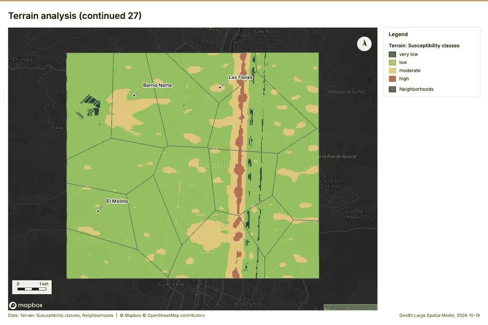
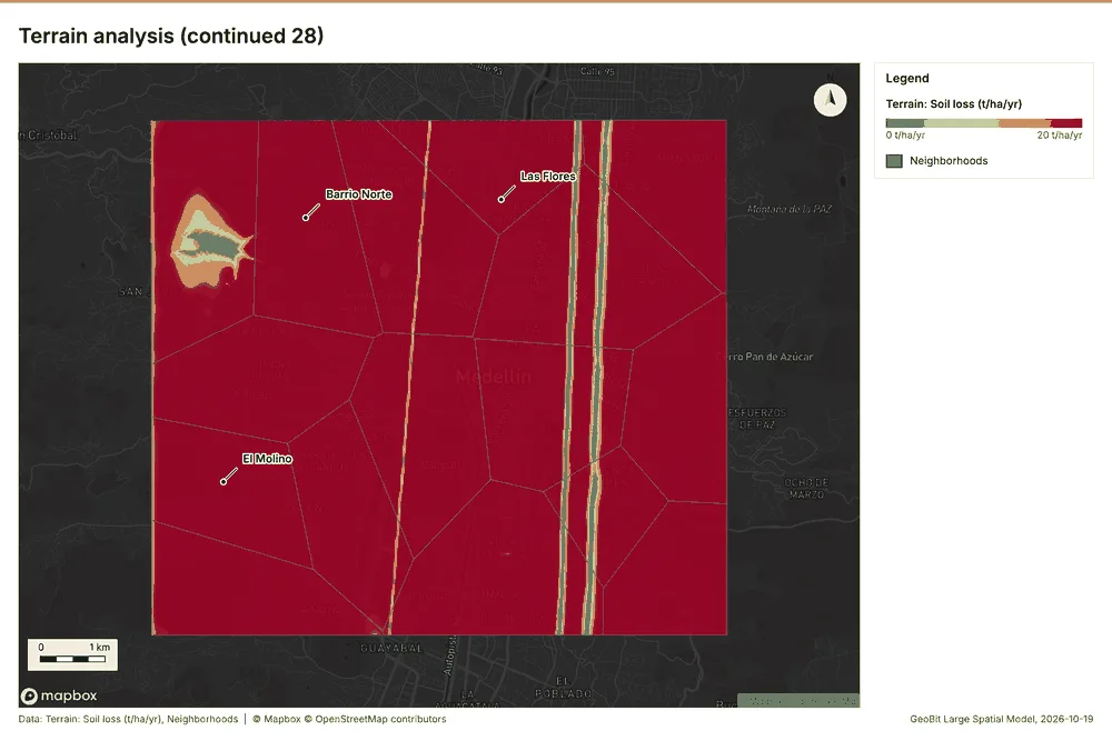
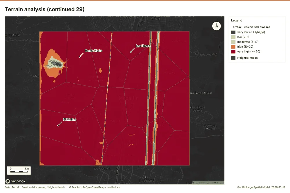
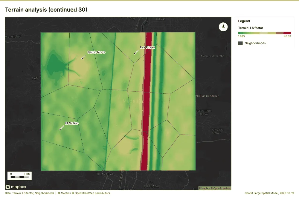
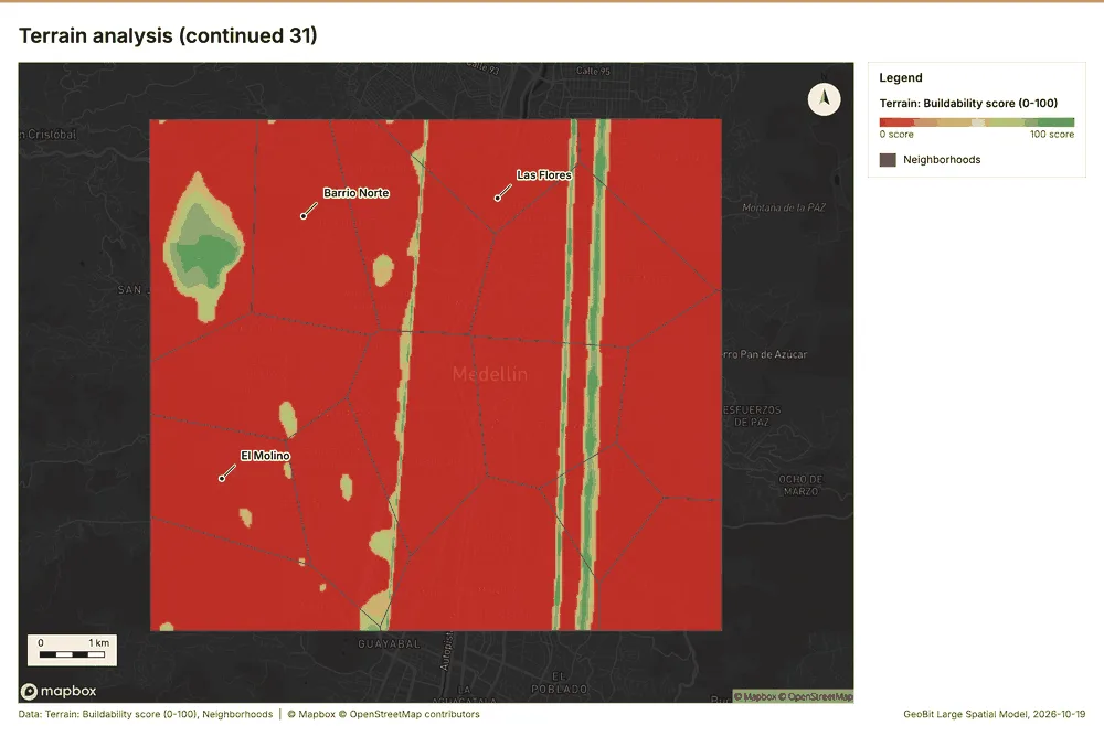
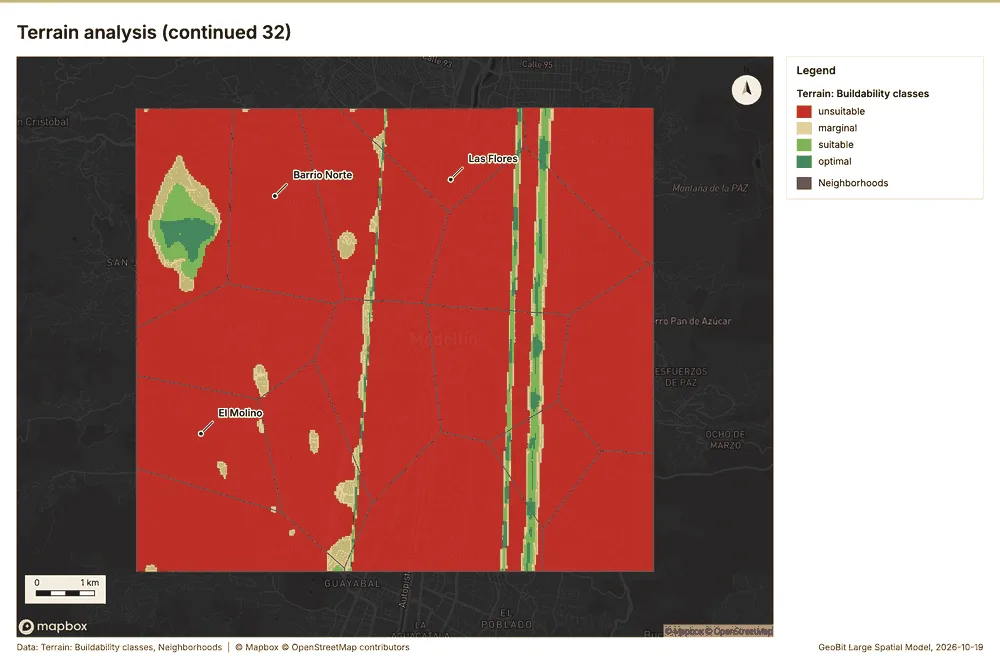
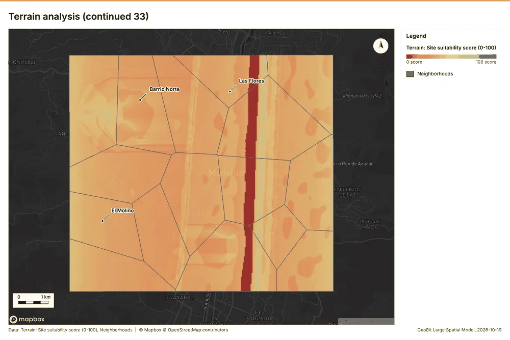
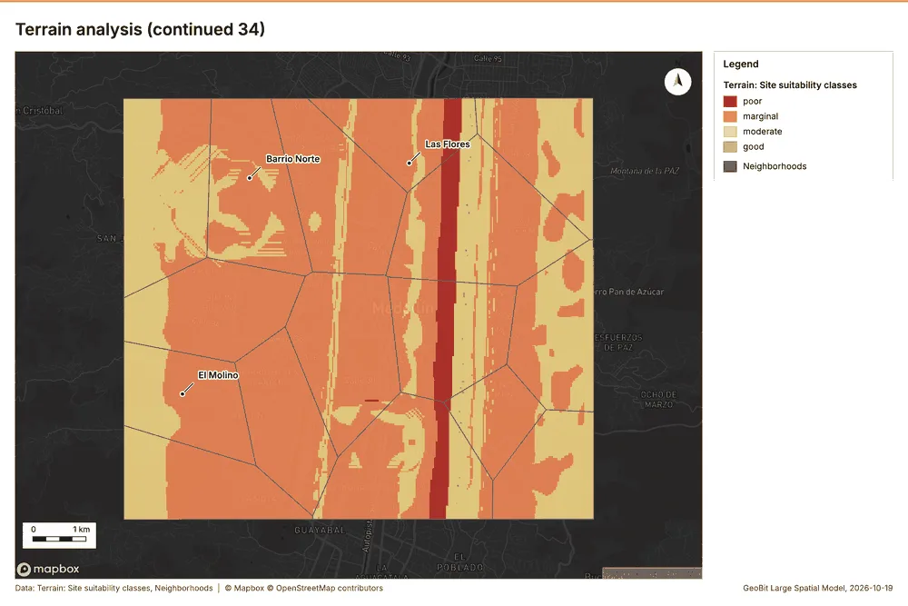
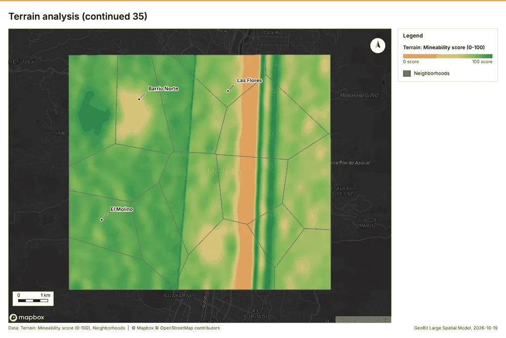
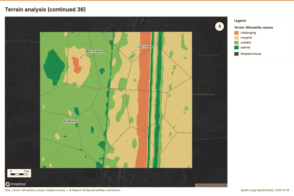
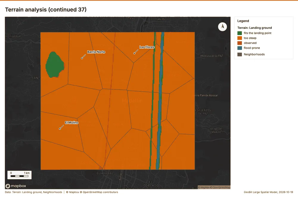
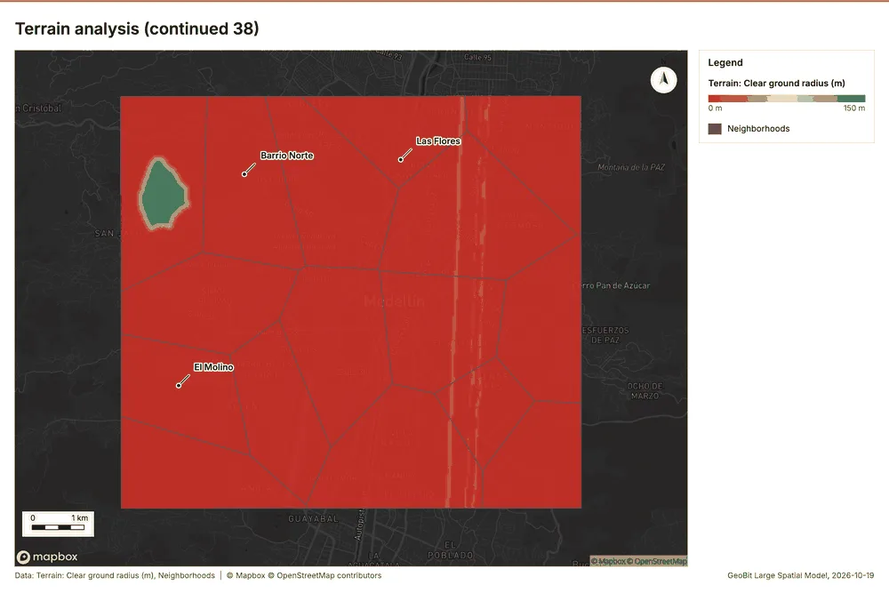
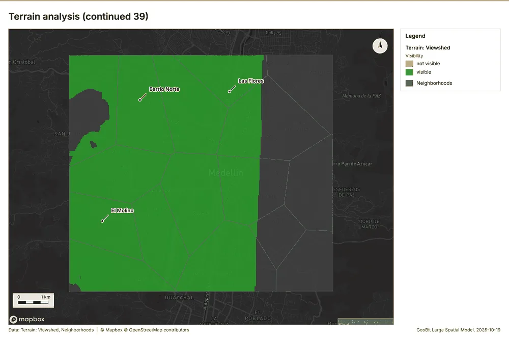
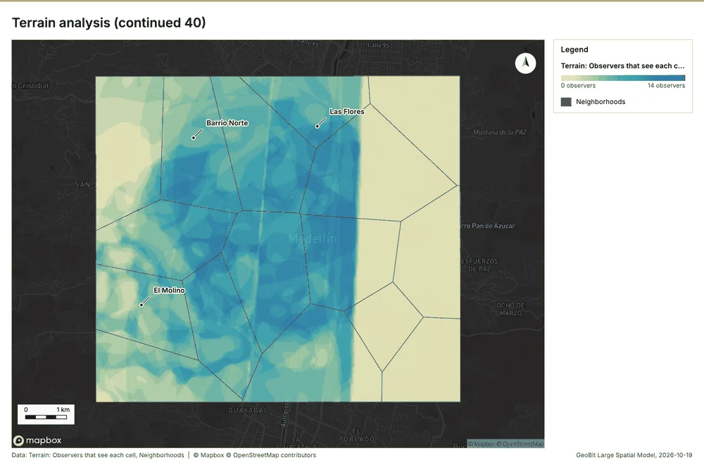
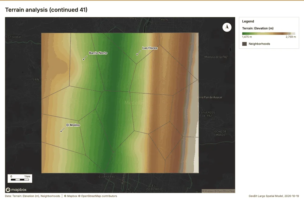
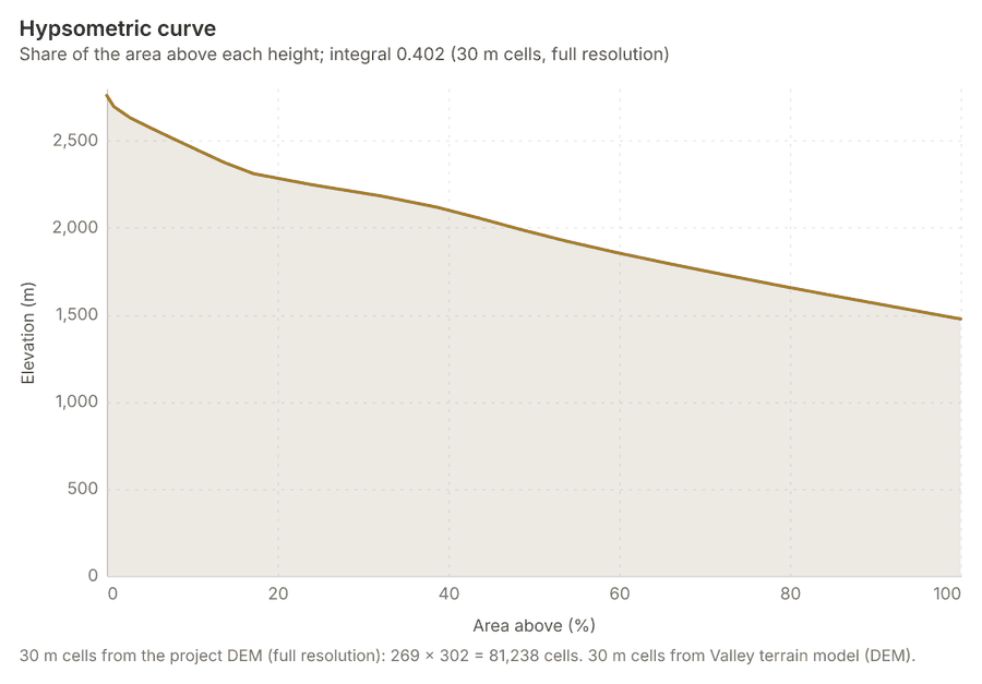
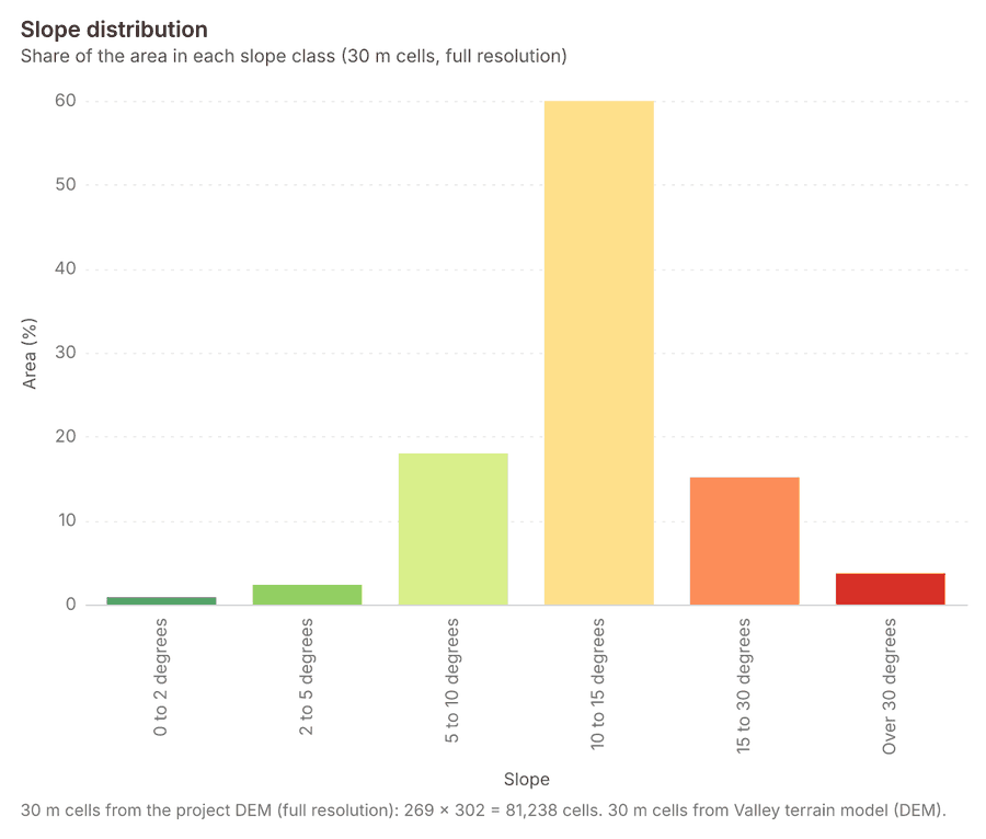
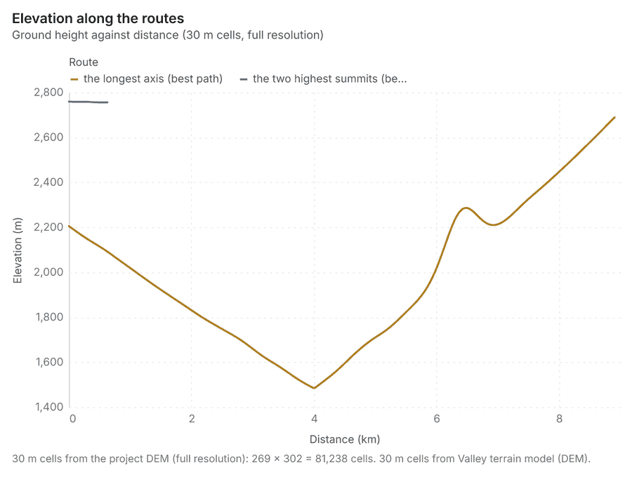
The automatic terrain analysis of an area, with no model call: by default every terrain tool (everything), or a subset (general, mobility, observation, hydrology, site), on the project DEM (else Copernicus), the elevation layer, the charts (hypsometric curve, slope distribution, aspect rose, elevation along the routes), the dominant heights and the cited terrain findings (key terrain, chokepoints, corridors, avenues, flood-prone ground, views, routes, landing zones) for the report's Terrain analysis section. Large areas run coarser with the factor reported (full resolution up to LS_TERRAIN_MAX_CELLS cells).
See it run on the Ngong Hills, and every terrain analysis it runs on its own page.
Telecom Medellin, Antioquia, Colombia
1 call succeeded. 3 output layers on the sample's interactive map.