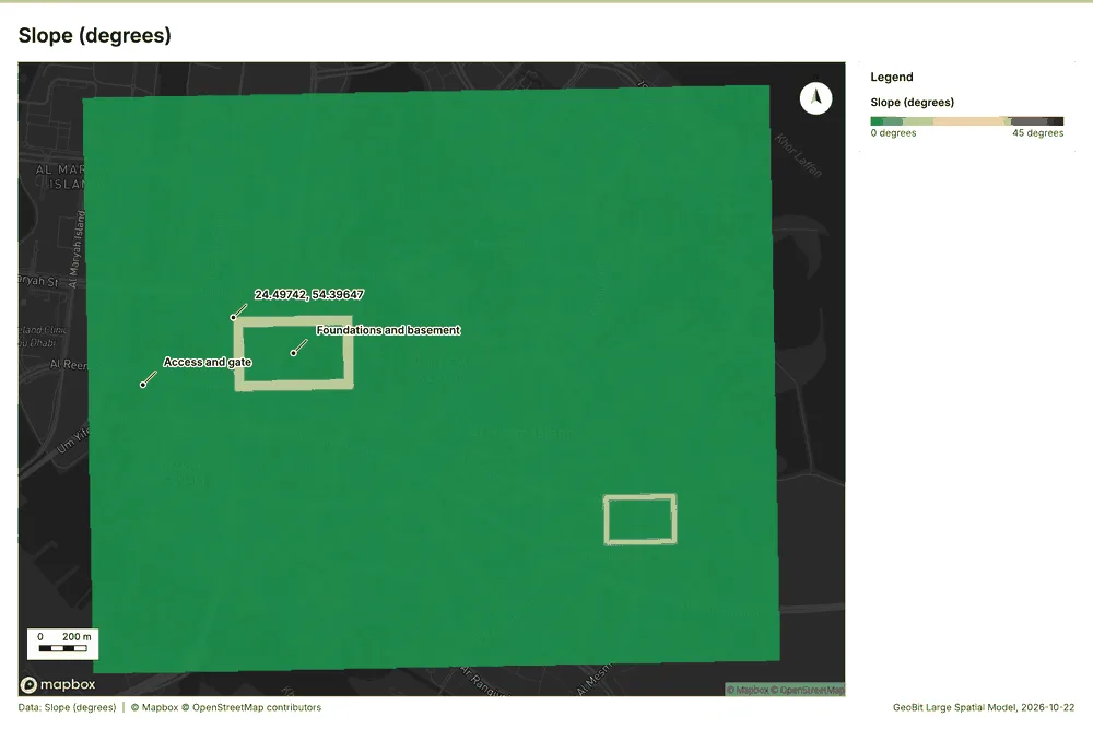
Slope
tr_slope
What it does
Horn slope in degrees or percent, with the share of ground in six grade classes. Outputs: slope. DEM: the project's DEM first, else Copernicus GLO-30 (open data). Esri equivalent: Slope (Spatial Analyst). QGIS equivalent: Slope (GDAL DEM).
The ArcGIS Pro tools it stands for
- Slope (Spatial Analyst, Surface)
- Slope (3D Analyst, Raster: Surface)
- Surface Slope (3D Analyst, Triangulated Surface, different)
From the product's Esri parity register.
This terrain analysis also has its own page on the Ngong Hills, with its parameters, numbers and an interactive map.
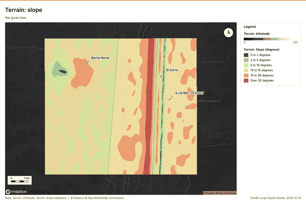
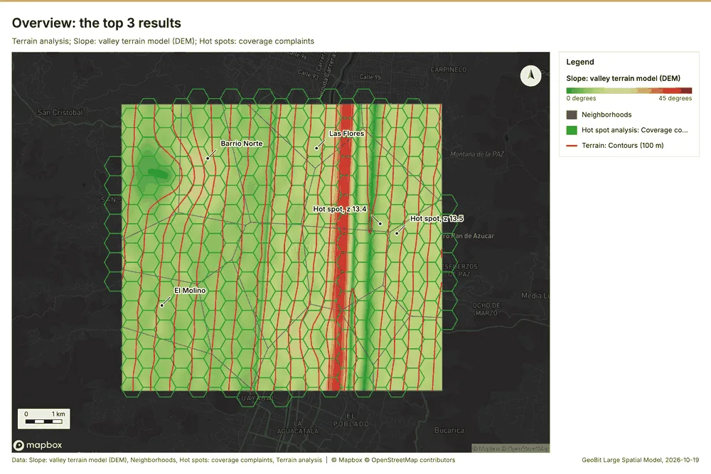
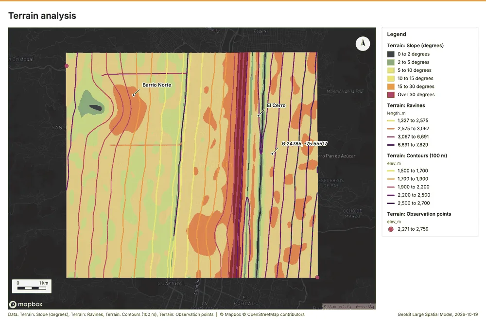
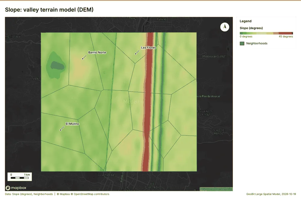
Telecom Medellin, Antioquia, Colombia
1 call succeeded. 2 output layers on the sample's interactive map.
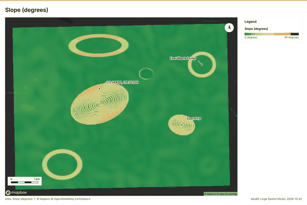
Mining Newman, Pilbara, Western Australia
1 call succeeded. 1 output layer on the sample's interactive map.
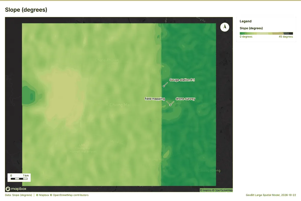
Water resources Chiang Mai, Thailand
1 call succeeded. 1 output layer on the sample's interactive map.
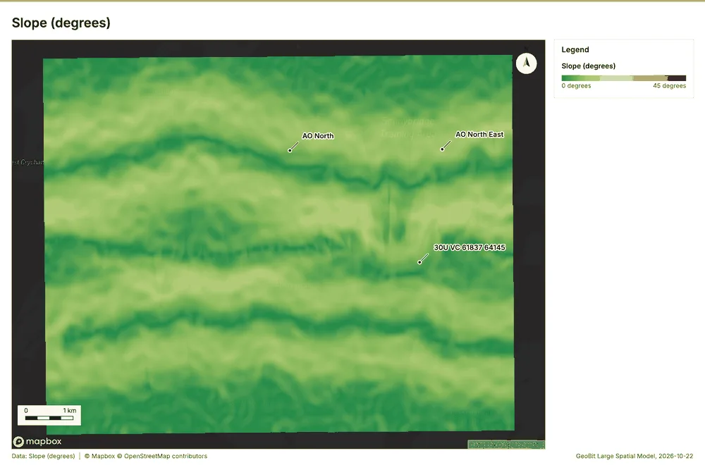
Field operations terrain Sennybridge, Brecon Beacons, Wales, United Kingdom
1 call succeeded. 1 output layer on the sample's interactive map.
Construction Al Reem Island, Abu Dhabi, United Arab Emirates
1 call succeeded. 1 output layer on the sample's interactive map.