Pipeline

gp_pipeline

GIS analysisran in 4 samples7 images
What it does

Run up to 20 GIS operations in one engine call; a step's params may use "$id" (an earlier step's result) or "$id.key", and layer references. Every step's map outputs are saved as styled layers. Never calls Mapbox.

The ArcGIS Pro tools it stands for

  • Calculate Fields (multiple) (Data Management, Fields, partial)
  • Batch Project (Data Management, Projections and Transformations)

From the product's Esri parity register.

Public safety Chicago, Illinois, United States

1 call succeeded, 1 failed.
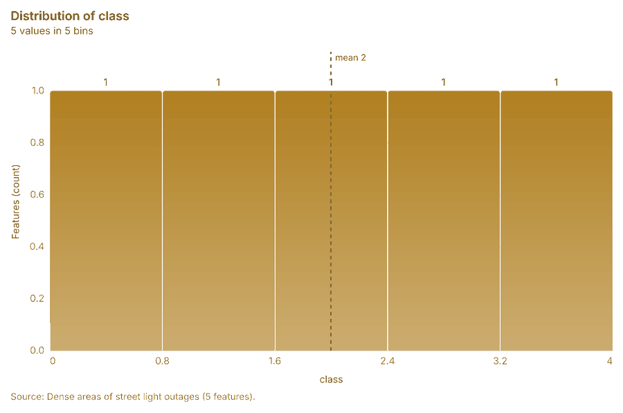
Dense areas of street light outages
Dense areas of street light outageschart

Telecom Medellin, Antioquia, Colombia

3 calls succeeded.
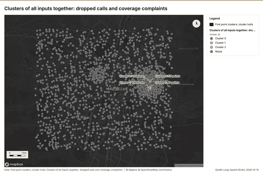
Clusters of all inputs together: dropped calls and coverage complaints
Clusters of all inputs together: dropped calls and coverage complaintsmap
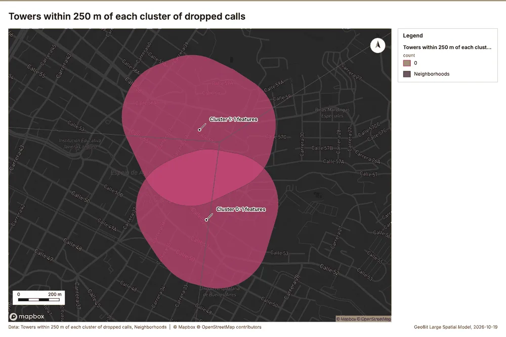
Towers within 250 m of each cluster of dropped calls
Towers within 250 m of each cluster of dropped callsmap
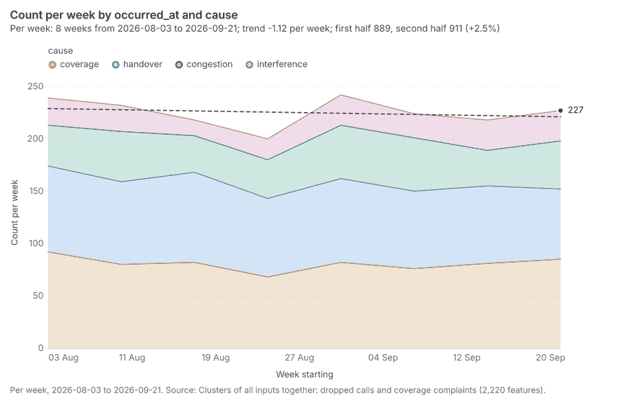
Clusters of all inputs together: dropped calls and coverage complaints over time
Clusters of all inputs together: dropped calls and coverage complaints over timechart

Public health Kampala, Uganda

2 calls succeeded.
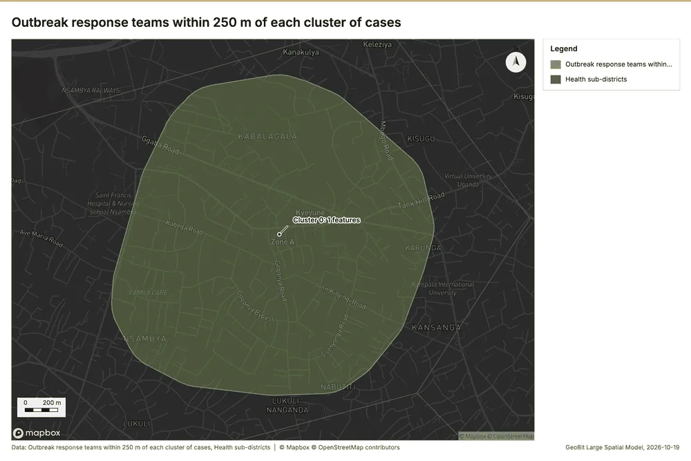
Outbreak response teams within 250 m of each cluster of cases
Outbreak response teams within 250 m of each cluster of casesmap
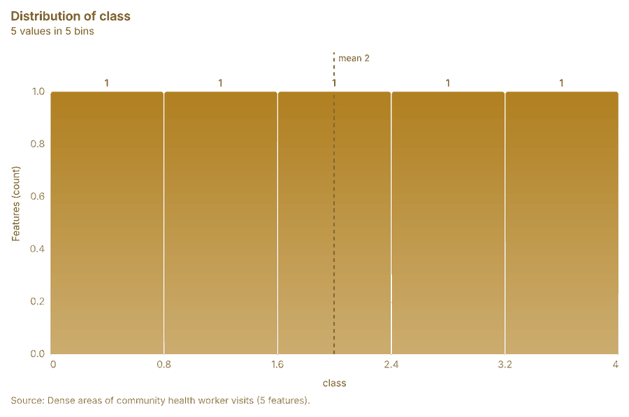
Dense areas of community health worker visits
Dense areas of community health worker visitschart
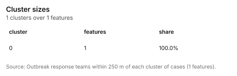
Outbreak response teams within 250 m of each cluster of cases
Outbreak response teams within 250 m of each cluster of caseschart

Tourism and events Barcelona, Catalonia, Spain

3 calls succeeded.

This analysis made no map or chart image in this run; what it found is in the run's cited report.