Compute change raster
im_compute_change_raster
What it does
Compute change raster. Pixel value or spectral change between two co-registered images: difference, relative difference, absolute difference, log ratio (radar, dB), Euclidean spectral distance, spectral angle (radians) or the band with most change. Clouds and shadows are masked when the images have a scene classification band. (ArcGIS: Compute Change Raster (pixel value change, spectral change))
The ArcGIS Pro tools it stands for
- Compute Change Raster (Image Analyst, Change Detection)
From the product's Esri parity register.
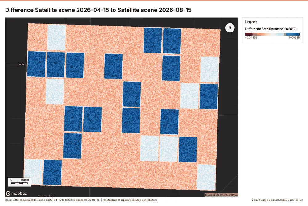
Agriculture Fresno County, California, United States
1 call succeeded. 1 output layer on the sample's interactive map.
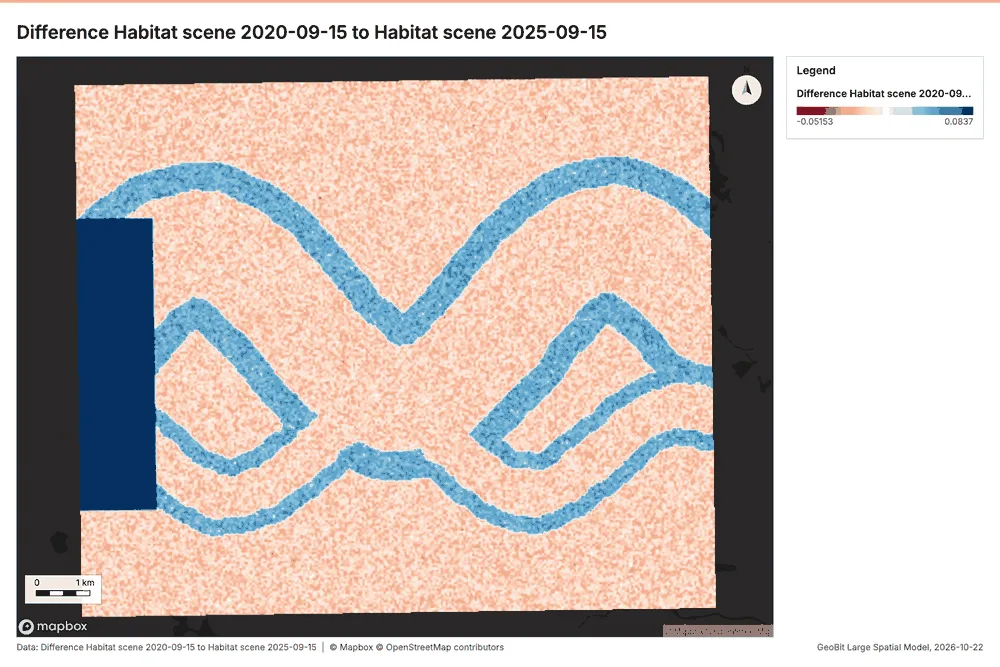
Conservation Okavango Delta near Maun, Botswana
2 calls succeeded. 2 output layers on the sample's interactive map.
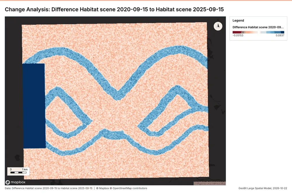
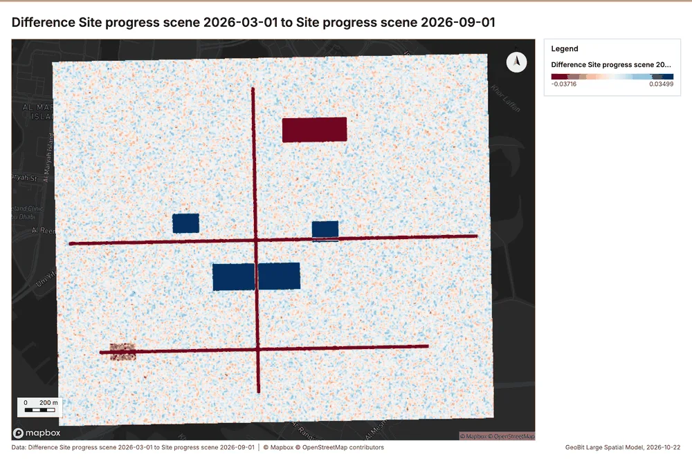
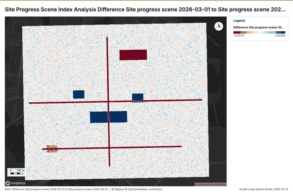
Construction Al Reem Island, Abu Dhabi, United Arab Emirates
2 calls succeeded. 2 output layers on the sample's interactive map.