Index change
im_index_change
What it does
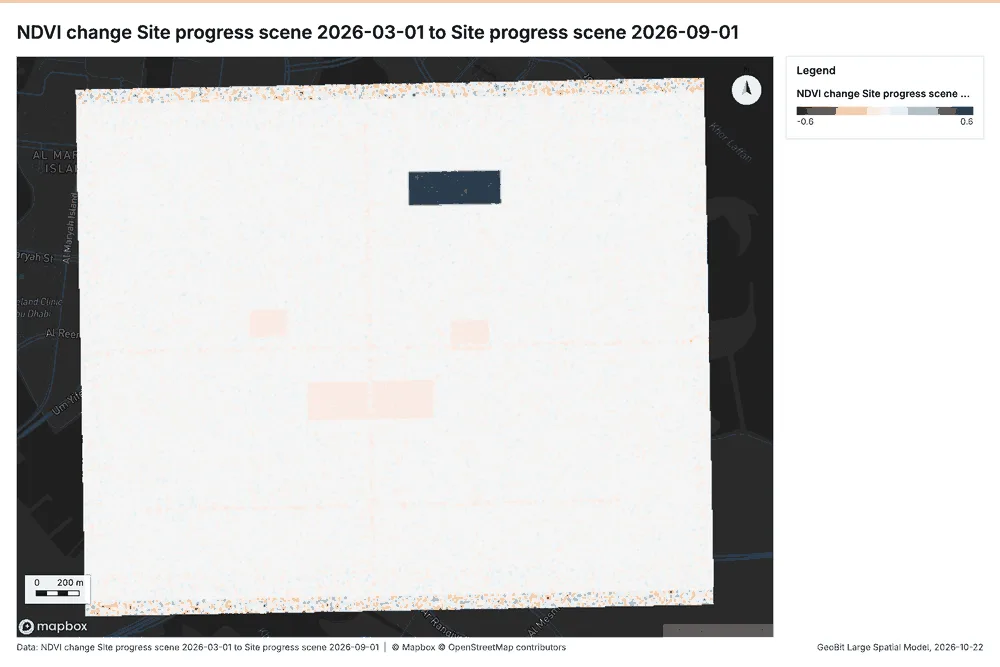
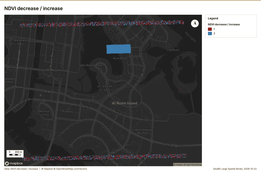
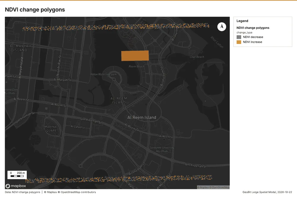
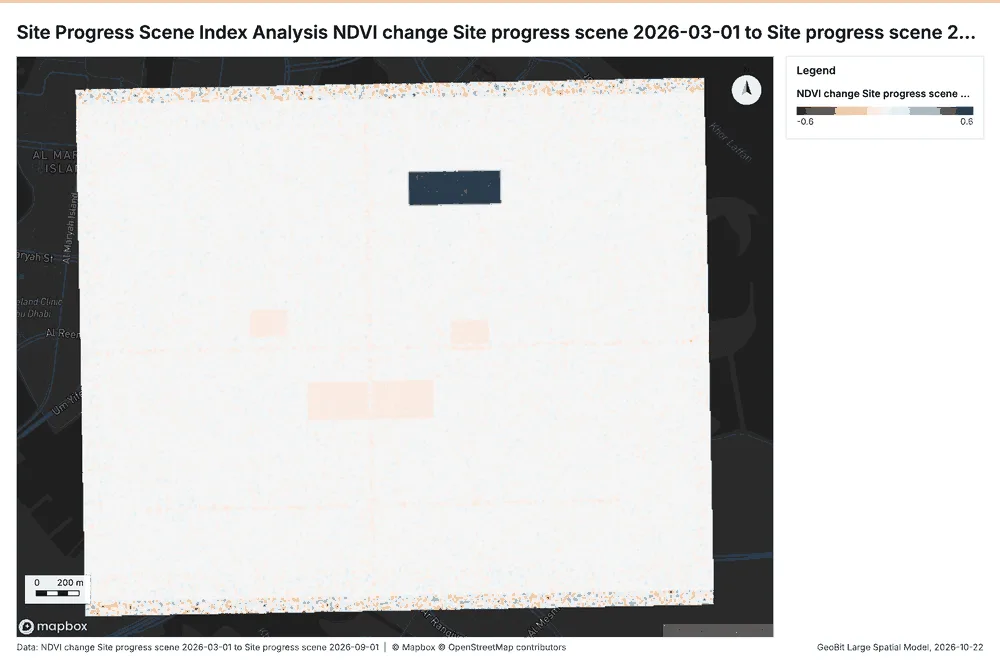
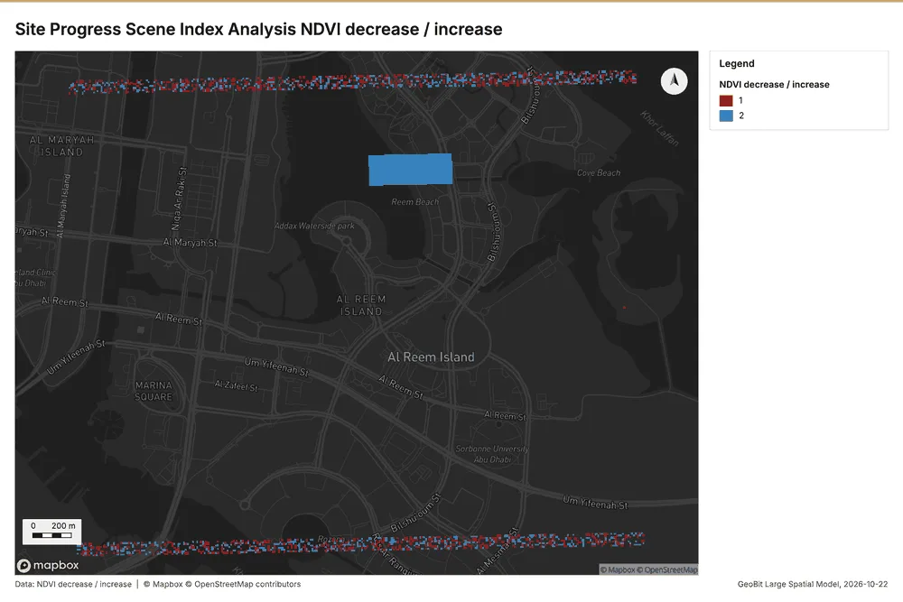
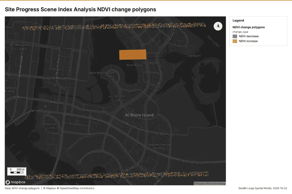
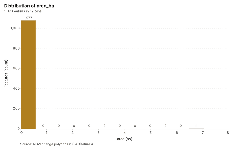
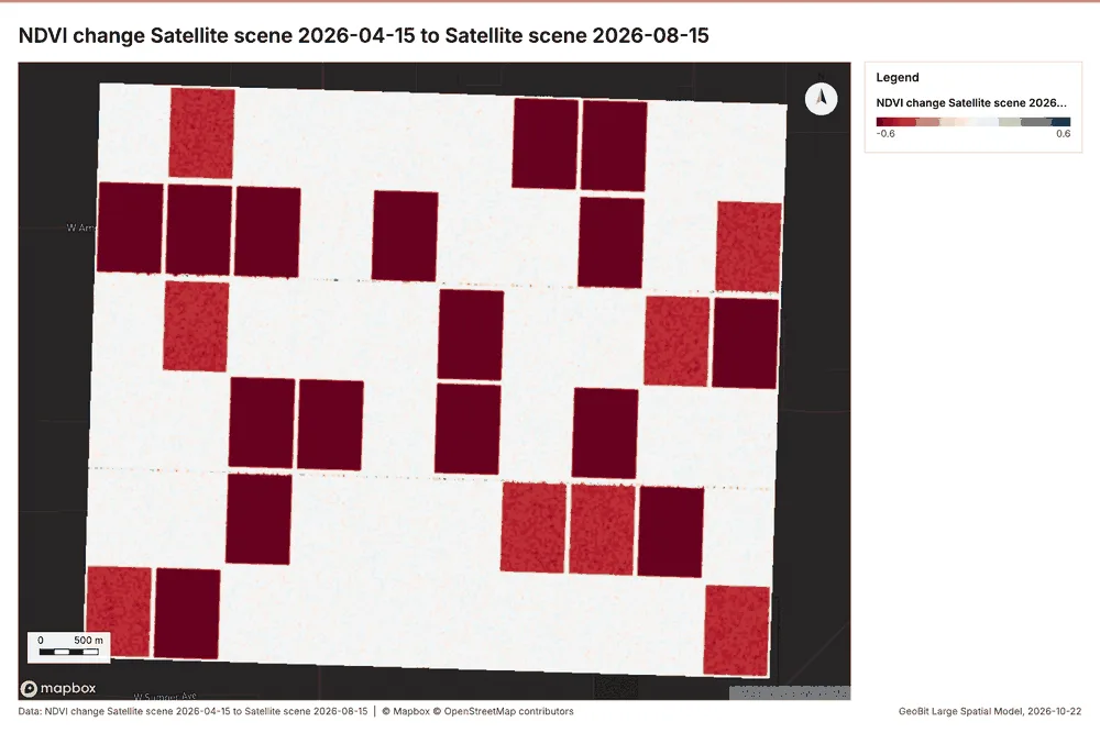
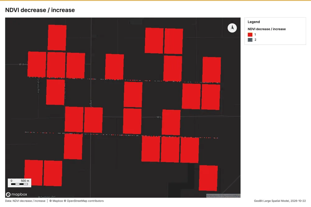
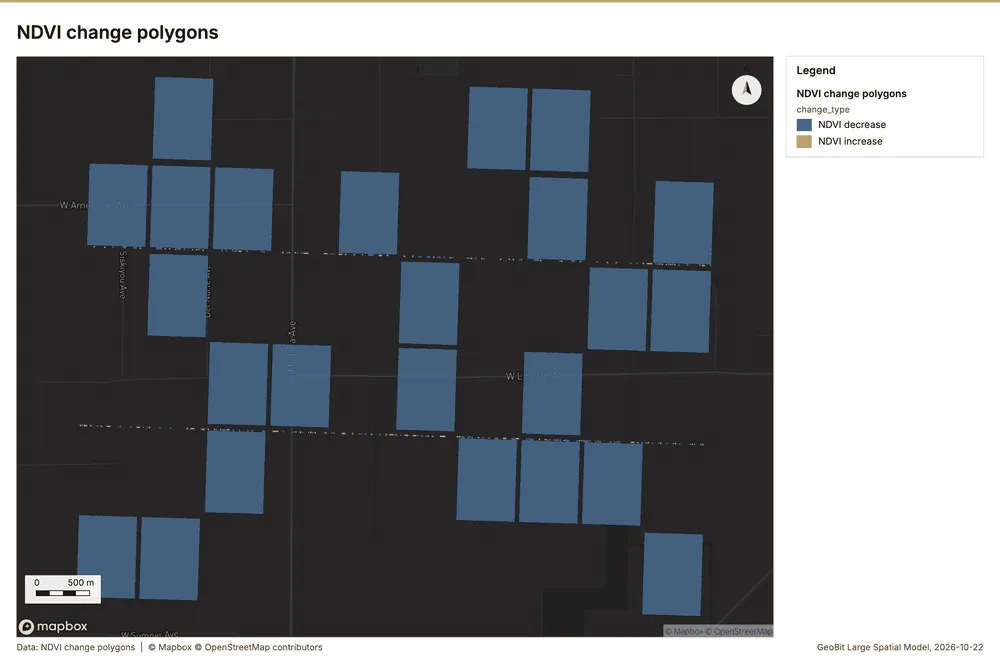
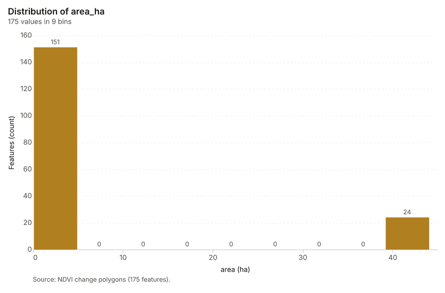
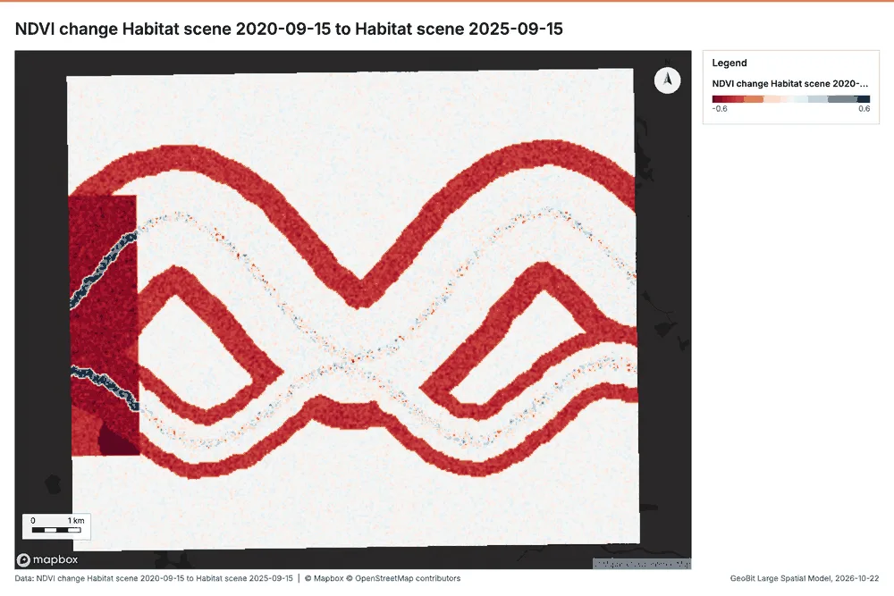
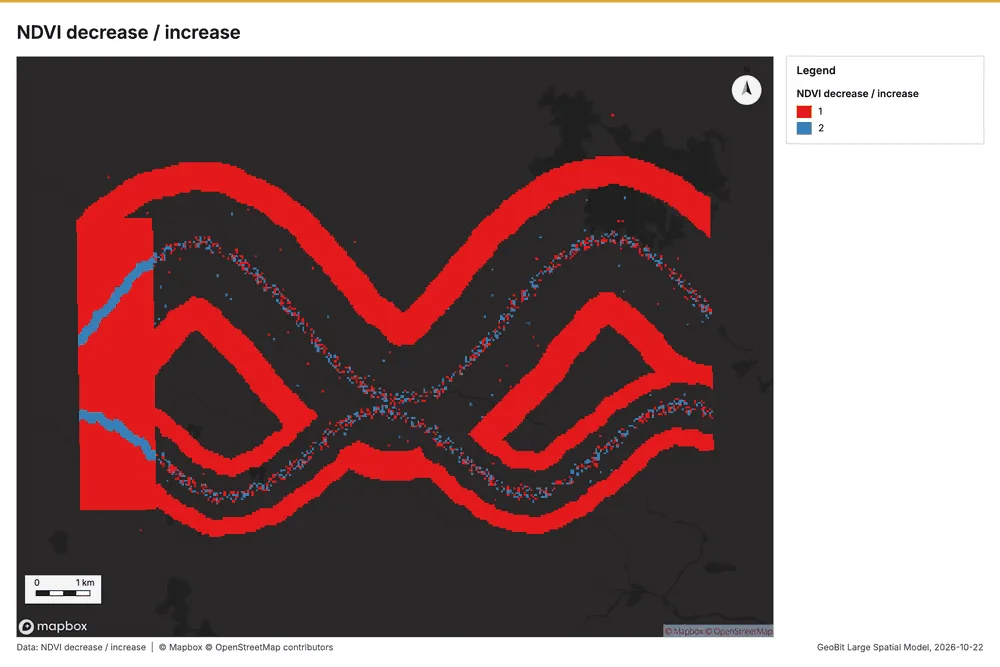
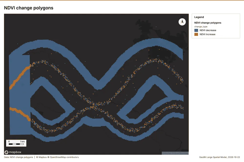
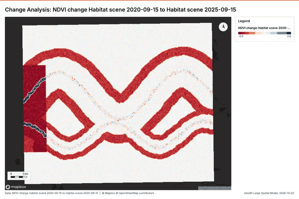
Spectral index change. Change of a spectral index (NDVI, NDWI, NDBI, NBR ...) or a band expression between two images: before, after and difference rasters, decrease / increase classes beyond the threshold with polygons and areas; NBR also gives dNBR with burn severity classes. (ArcGIS: Change Detection Wizard (spectral index change), Band Arithmetic)
Agriculture Fresno County, California, United States
1 call succeeded. 3 output layers on the sample's interactive map.
Conservation Okavango Delta near Maun, Botswana
2 calls succeeded. 6 output layers on the sample's interactive map.
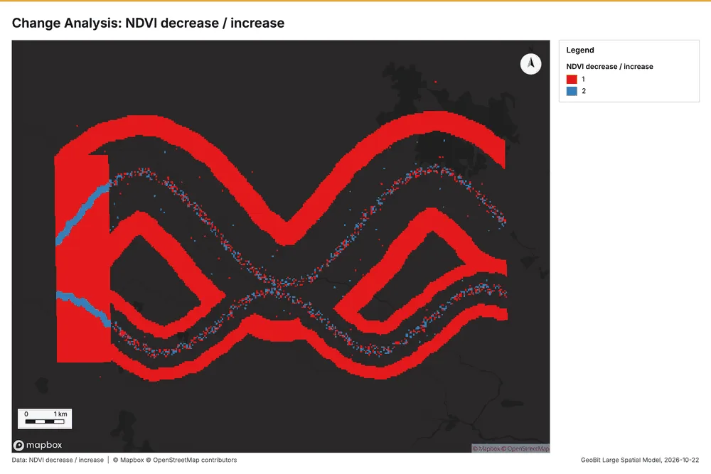
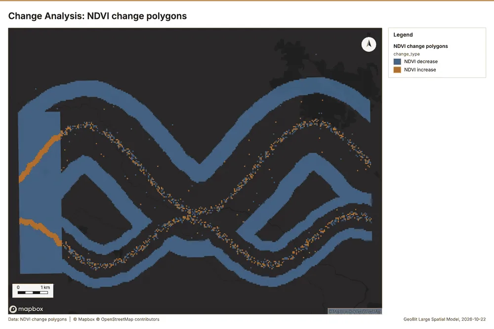
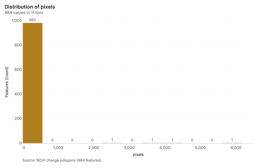
Construction Al Reem Island, Abu Dhabi, United Arab Emirates
2 calls succeeded. 6 output layers on the sample's interactive map.