Find nearest
gp_find_nearest
What it does
The k nearest features for each input, with geodesic distance and bearing.
The ArcGIS Pro tools it stands for
- Generate Near Table (Analysis, Proximity)
- Near (Analysis, Proximity)
- Find Nearby Locations (Business Analyst, Analysis)
- Assign Customers By Distance (Business Analyst, Trade Areas)
From the product's Esri parity register.
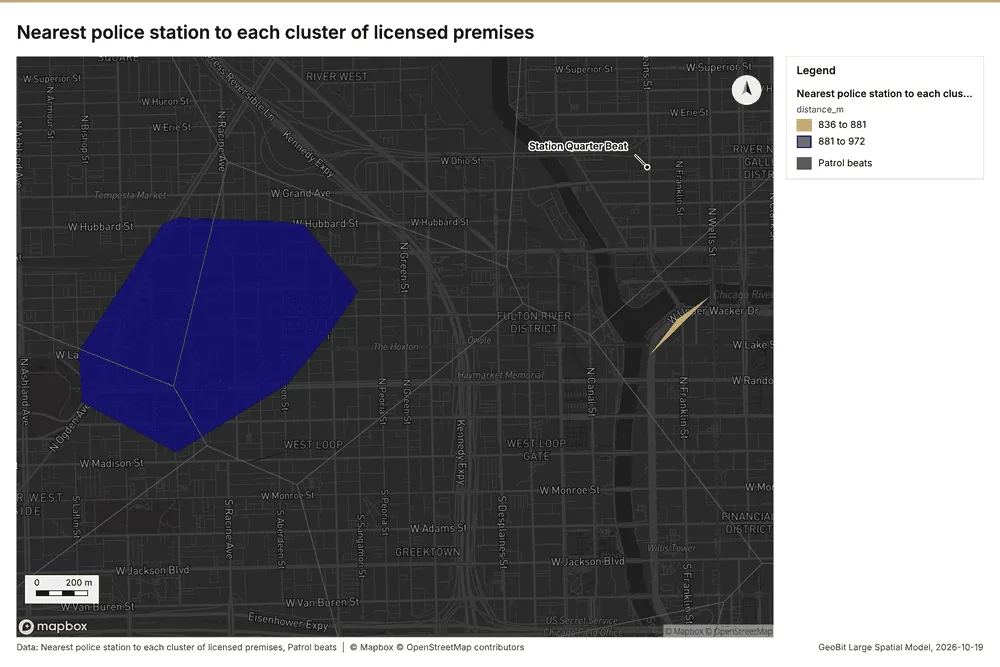
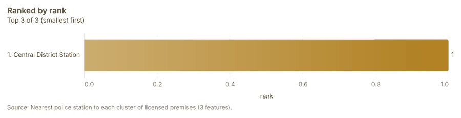
Public safety Chicago, Illinois, United States
1 call succeeded. 1 output layer on the sample's interactive map.
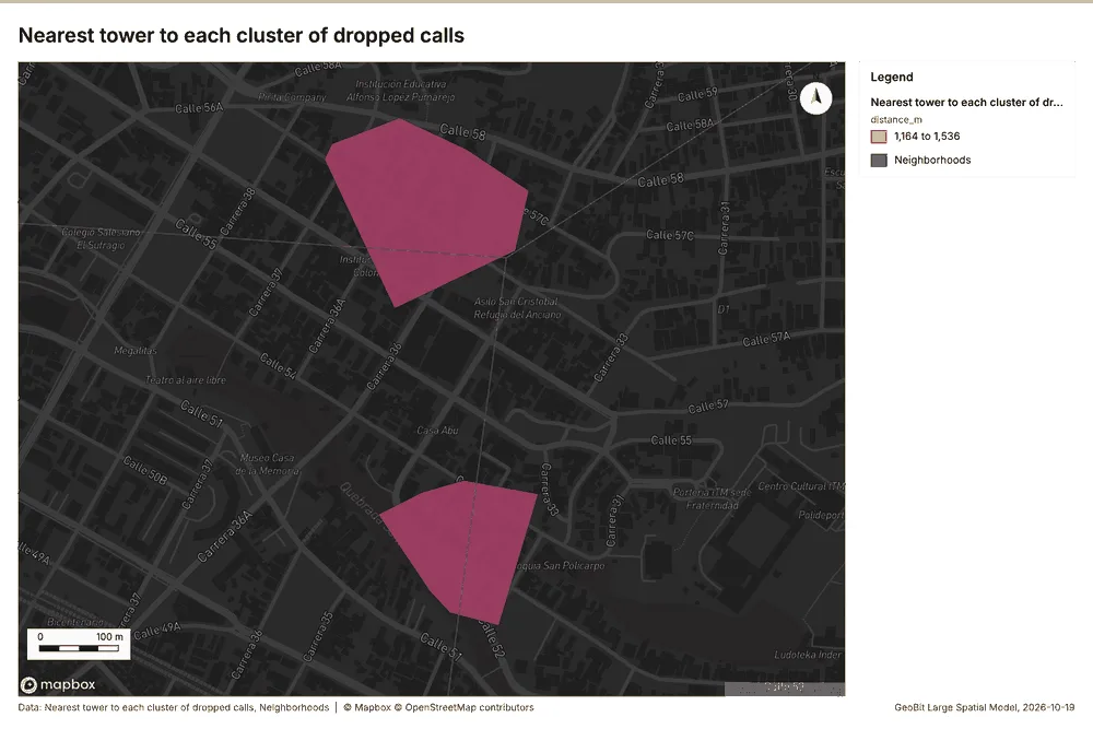
Telecom Medellin, Antioquia, Colombia
1 call succeeded. 1 output layer on the sample's interactive map.
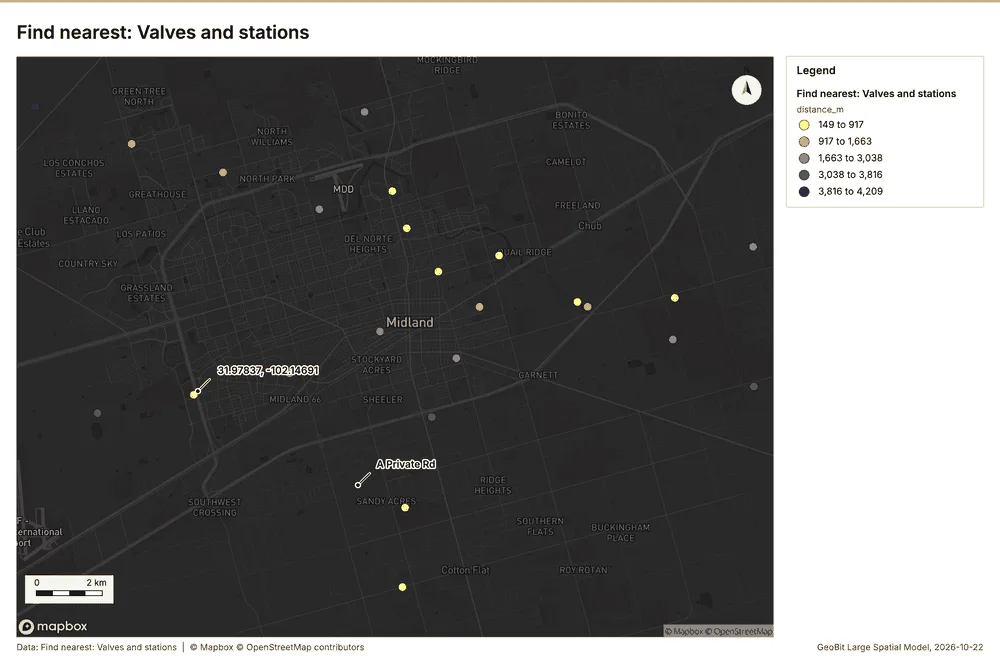
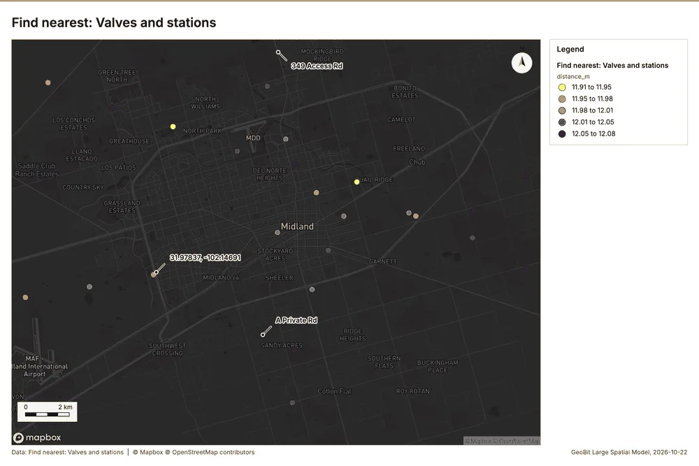
Oil and gas pipelines Midland, Texas, United States
2 calls succeeded. 2 output layers on the sample's interactive map.
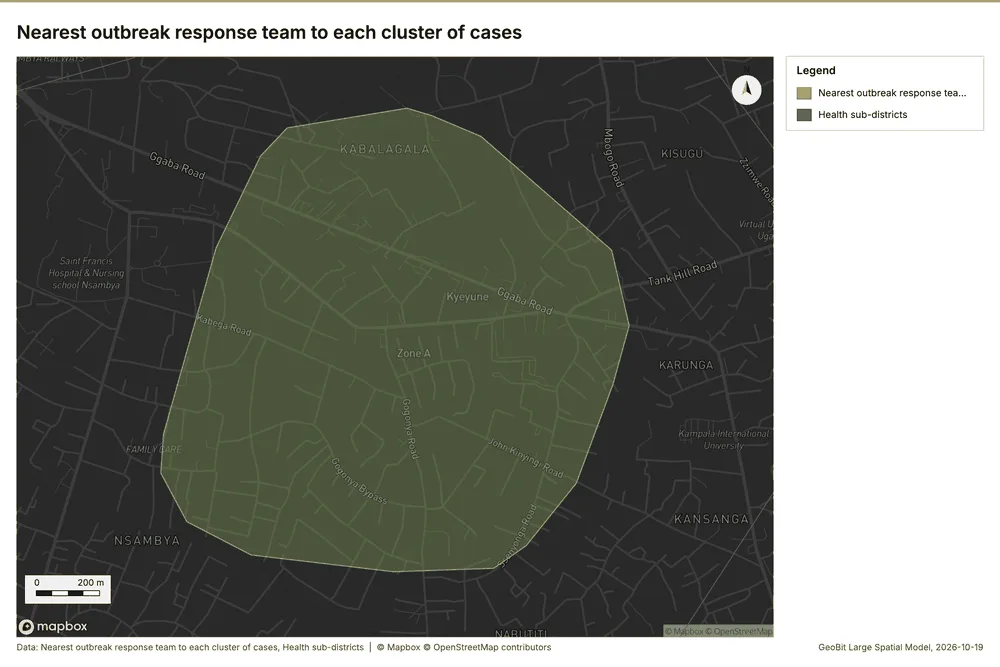
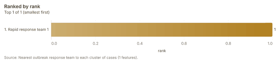
Public health Kampala, Uganda
1 call succeeded. 1 output layer on the sample's interactive map.
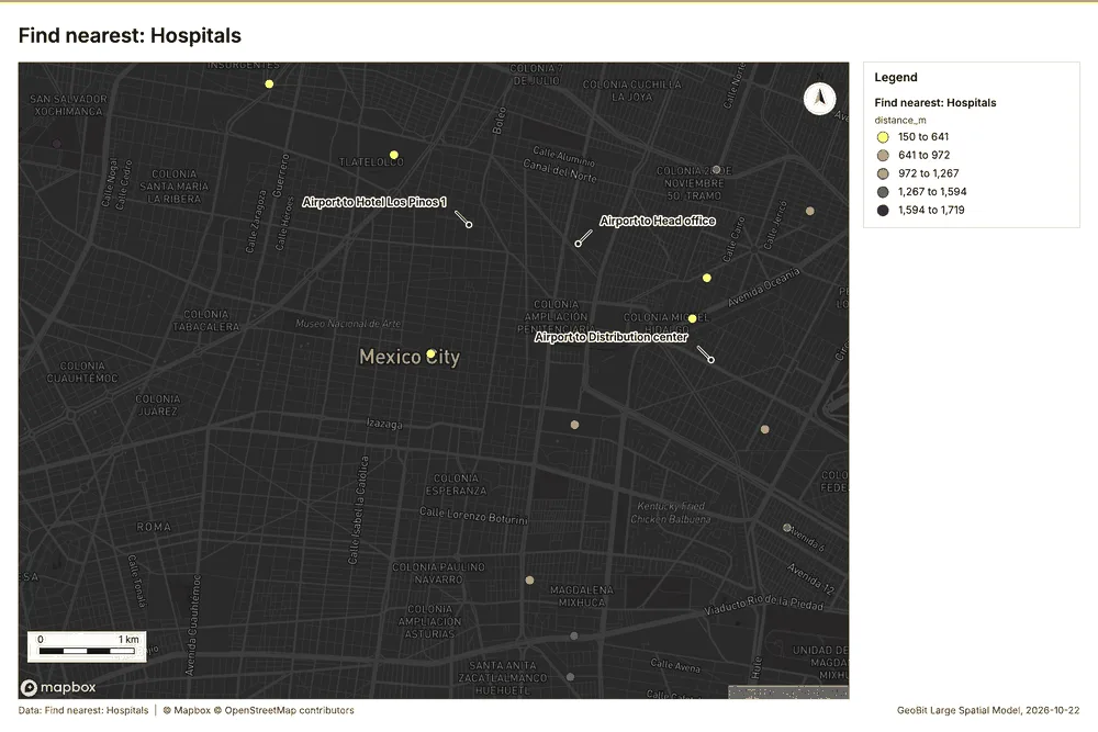
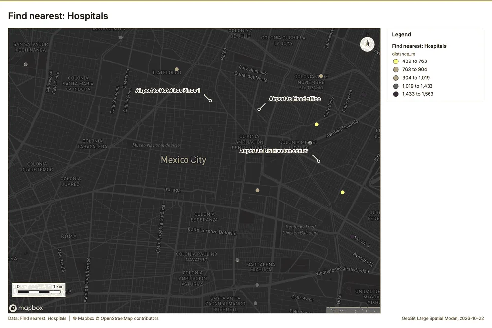
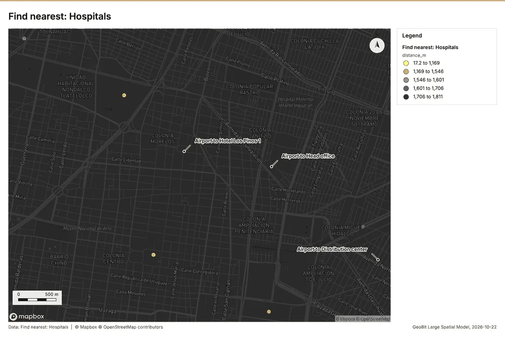
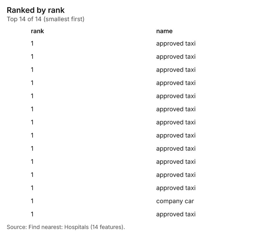
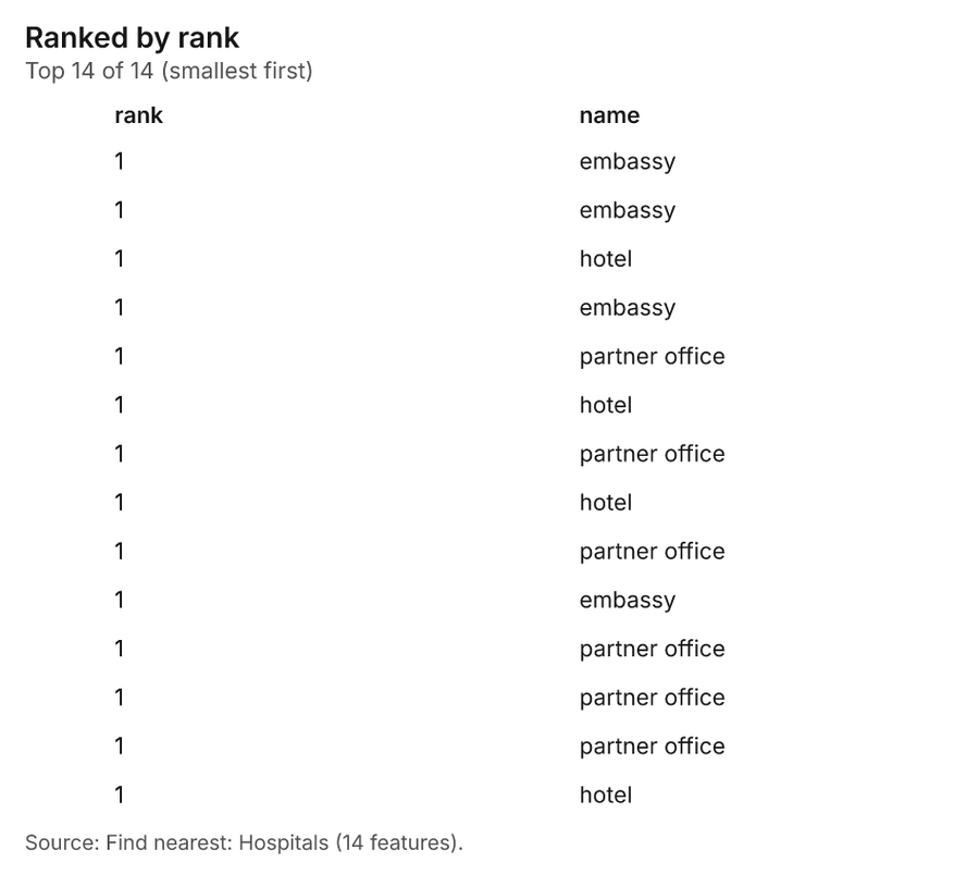
Corporate security and travel risk Mexico City, Mexico
3 calls succeeded. 3 output layers on the sample's interactive map.
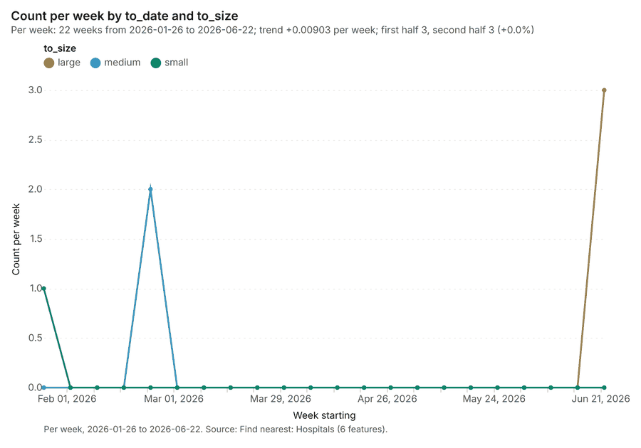
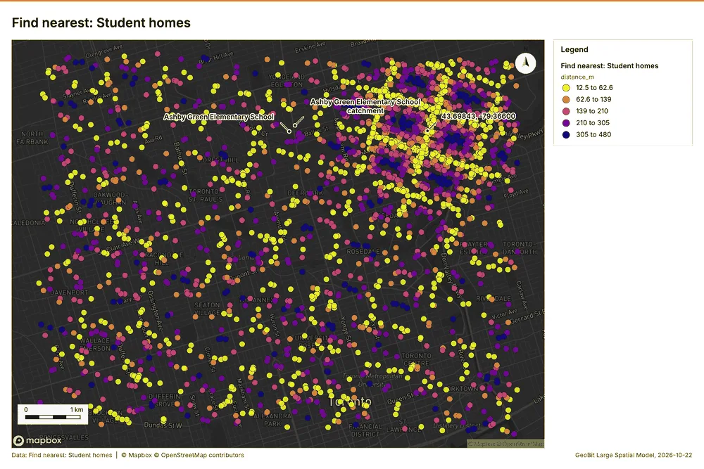
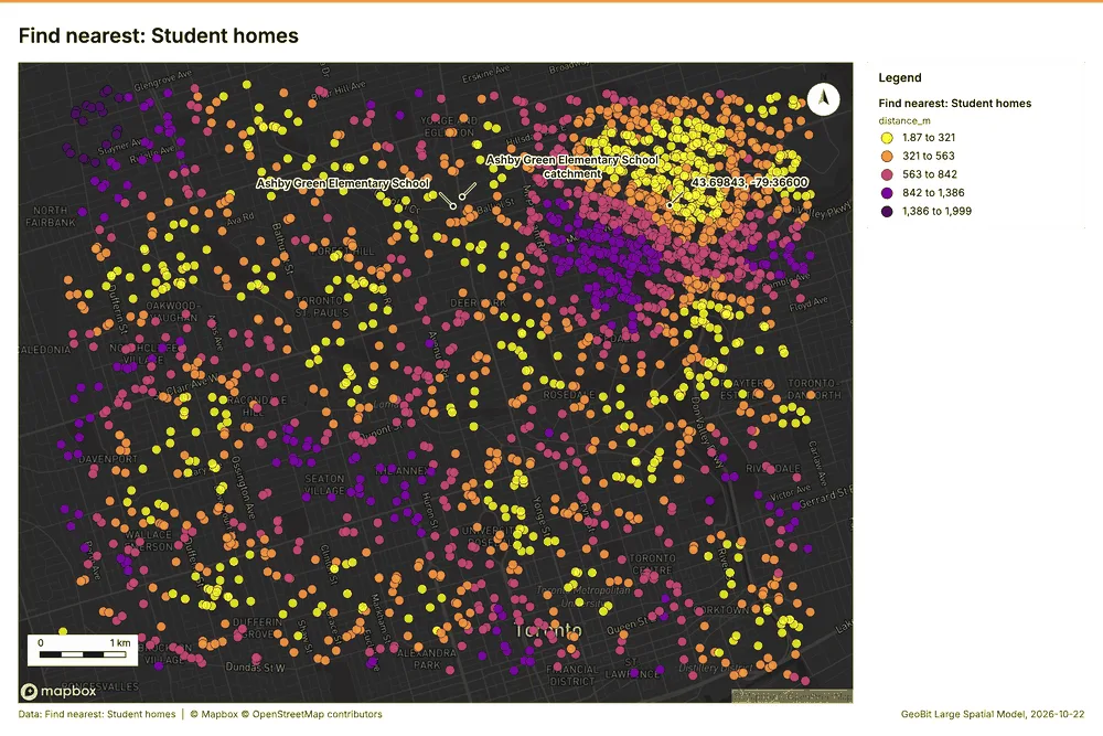
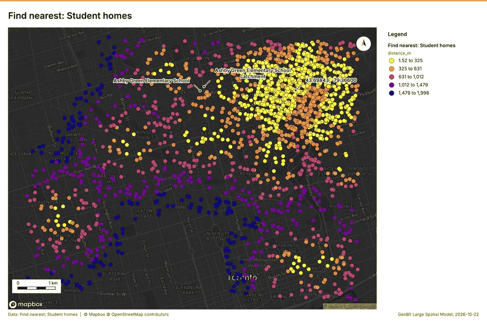
Education Toronto, Ontario, Canada
3 calls succeeded. 3 output layers on the sample's interactive map.