Find point clusters
gp_find_point_clusters
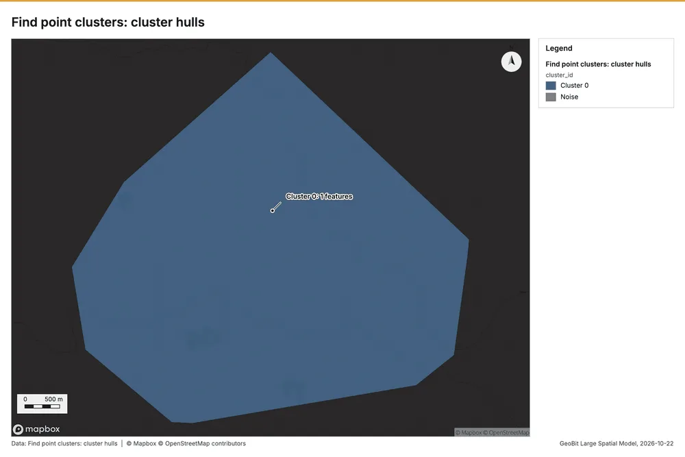
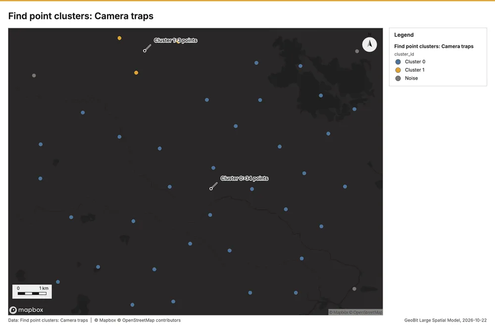
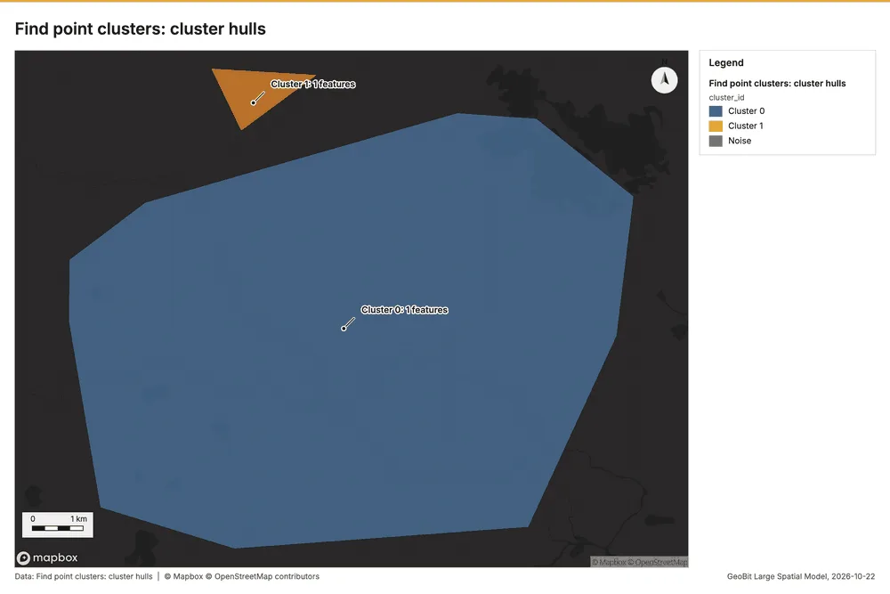
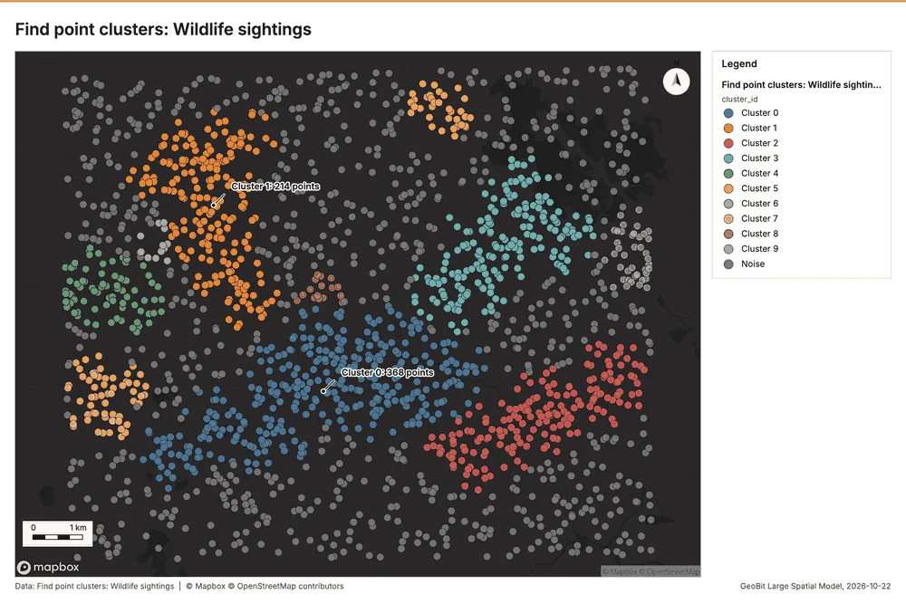
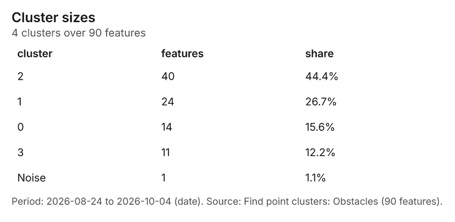
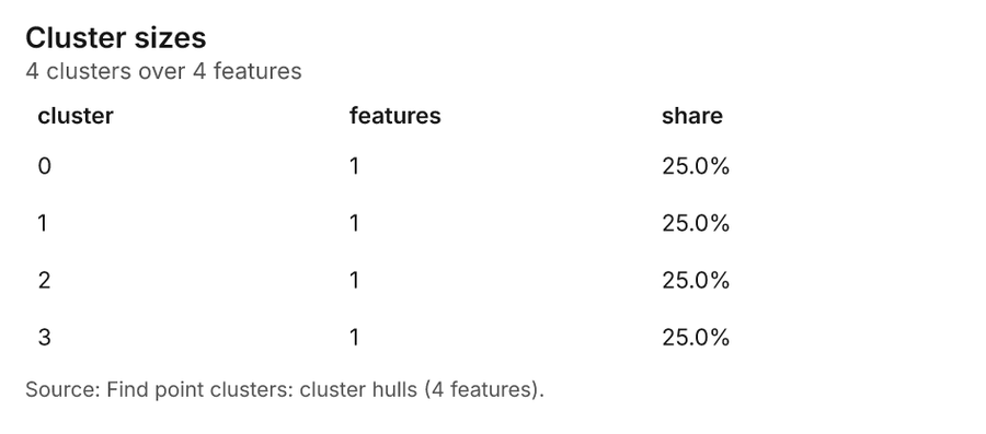
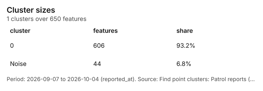
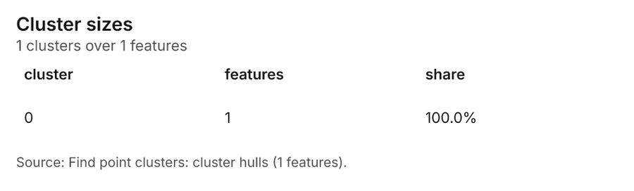
Density-based clusters (DBSCAN, HDBSCAN or OPTICS, optionally space-time) with hulls and noise.
The ArcGIS Pro tools it stands for
- Density-based Clustering (Spatial Statistics, Mapping Clusters)
- Find Point Clusters (Other toolboxes, GeoAnalytics Desktop)
From the product's Esri parity register.
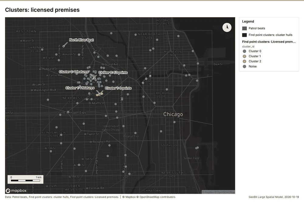
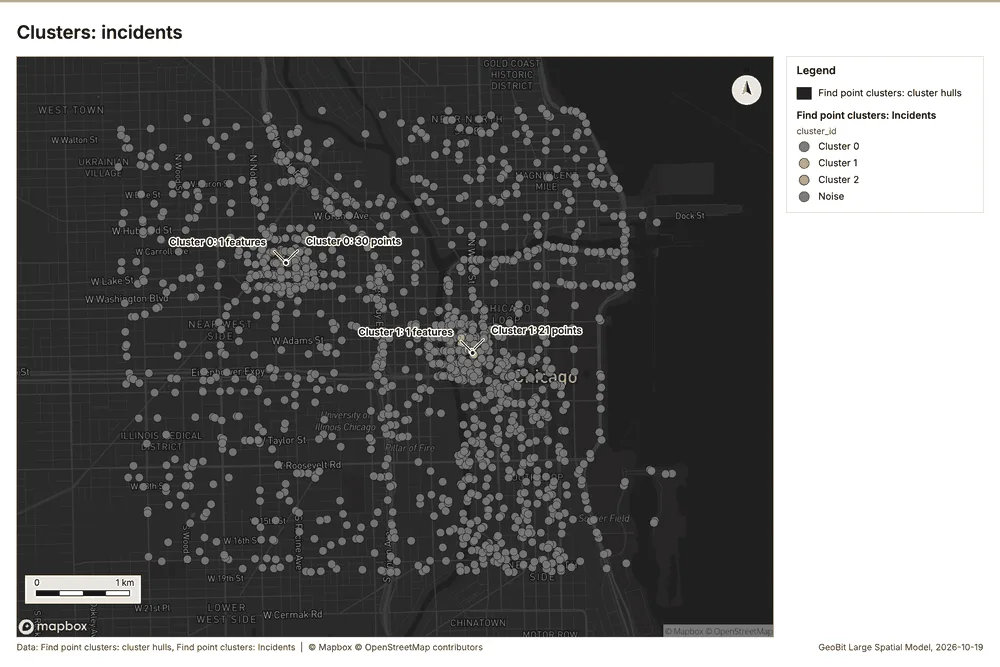
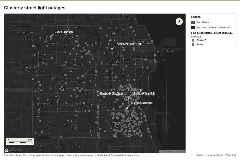
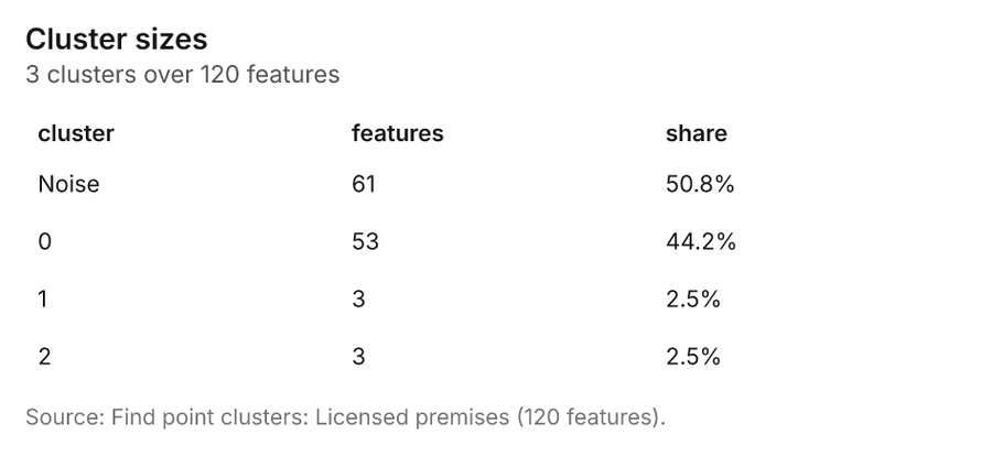
Public safety Chicago, Illinois, United States
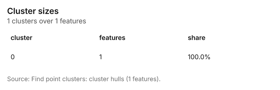
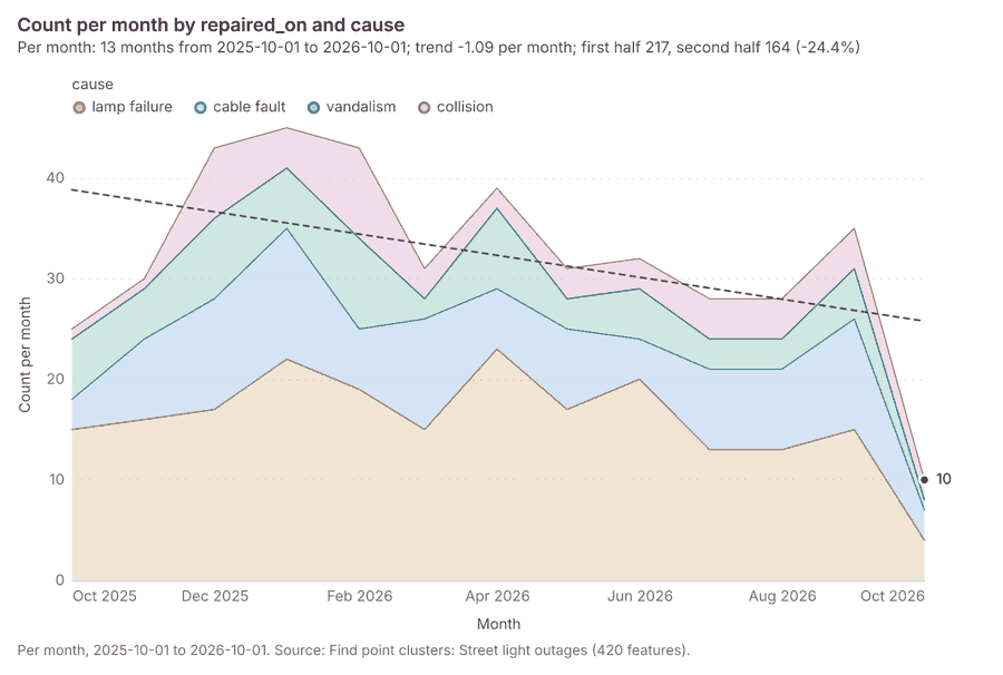
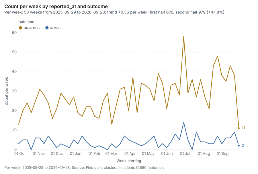
3 calls succeeded. 6 output layers on the sample's interactive map.
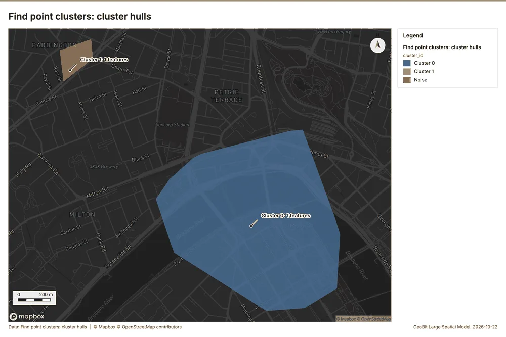
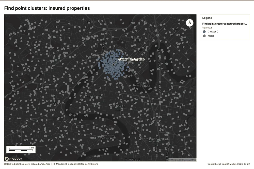
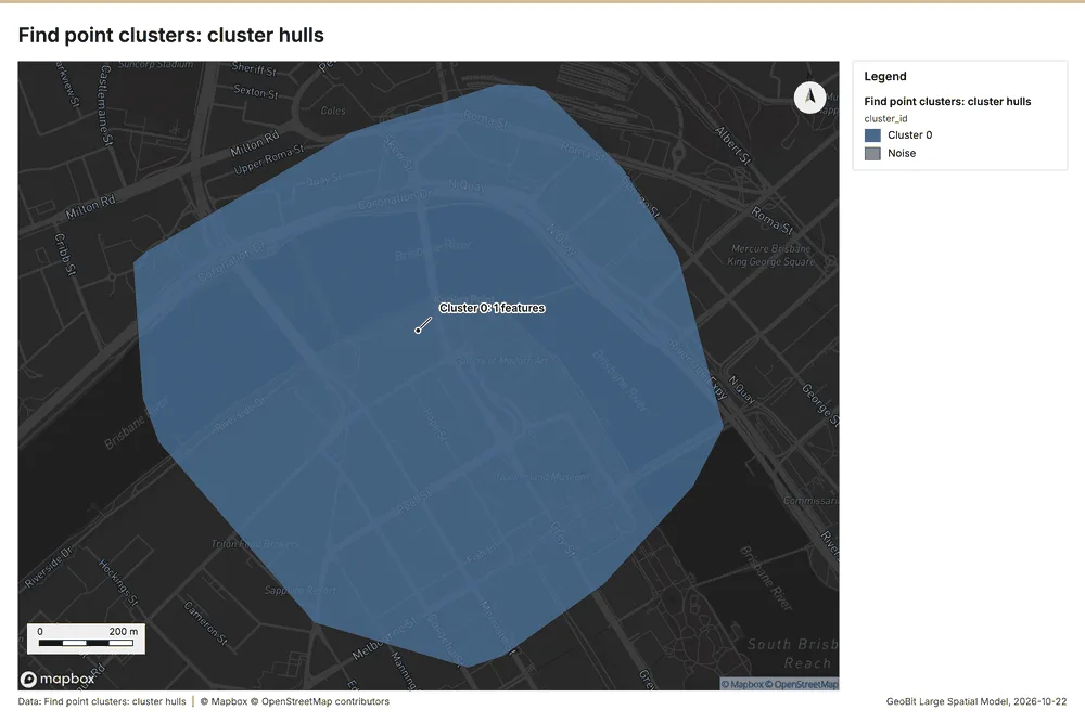
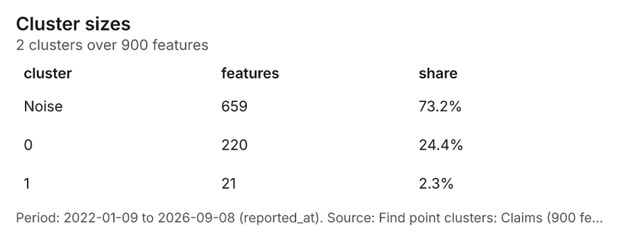
Insurance Brisbane, Queensland, Australia
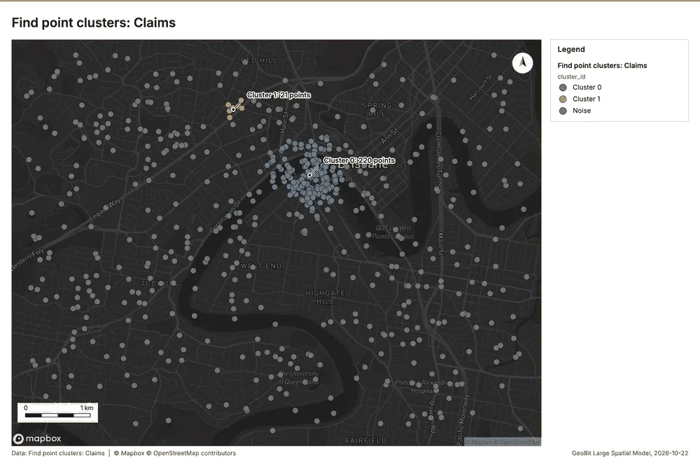
2 calls succeeded. 4 output layers on the sample's interactive map.
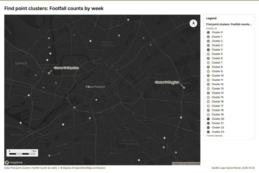
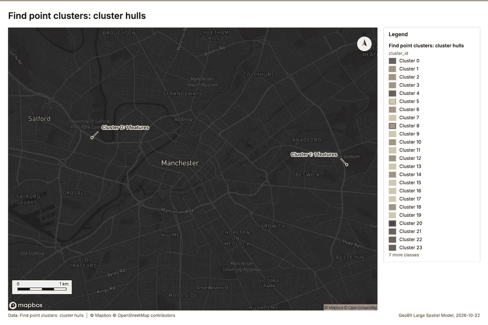
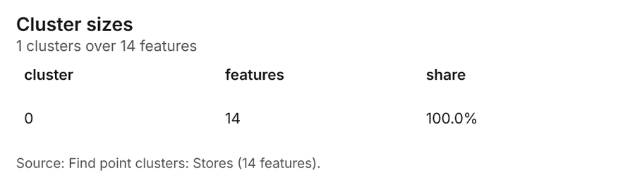
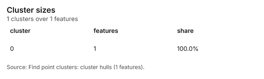
Retail Manchester, England, United Kingdom
3 calls succeeded. 6 output layers on the sample's interactive map.
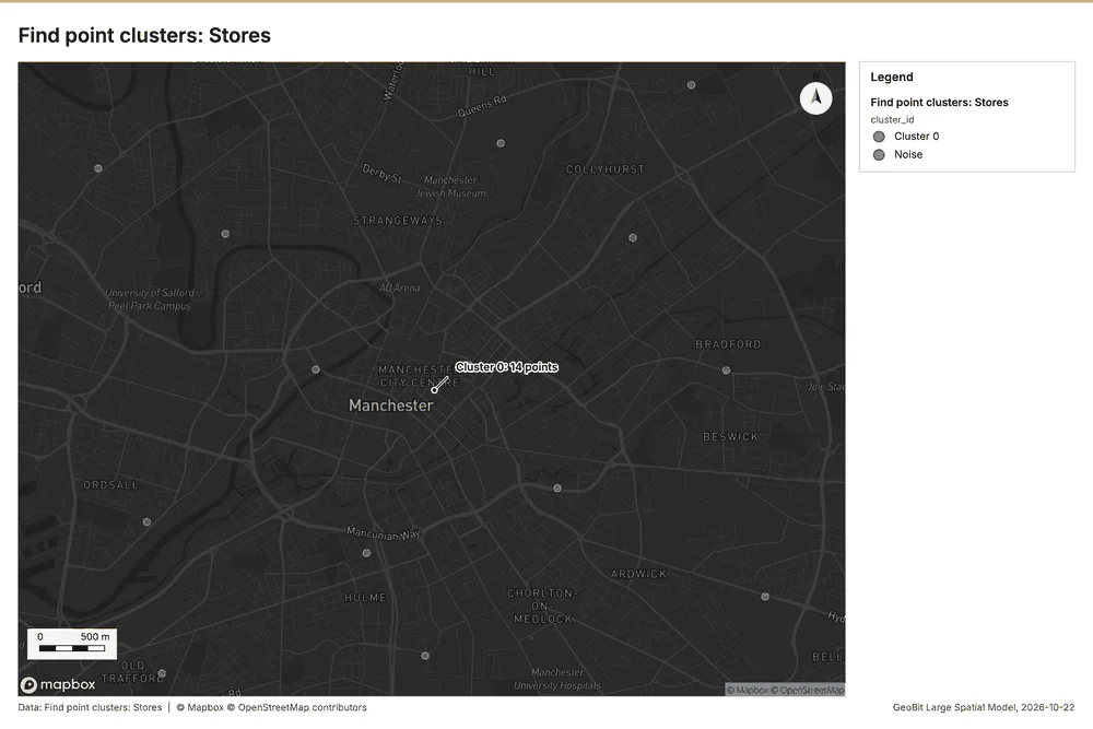
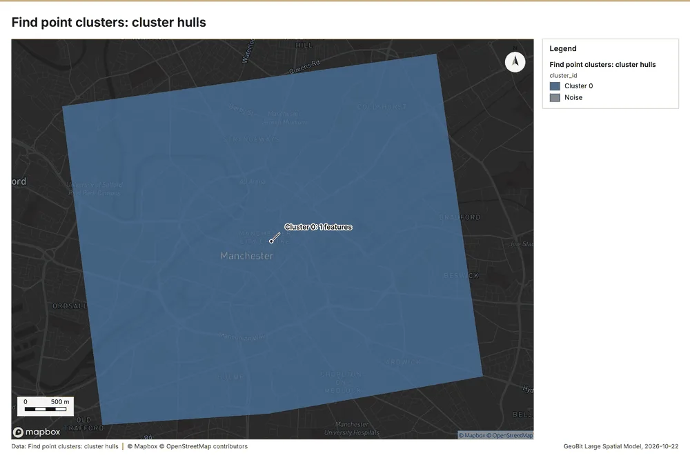
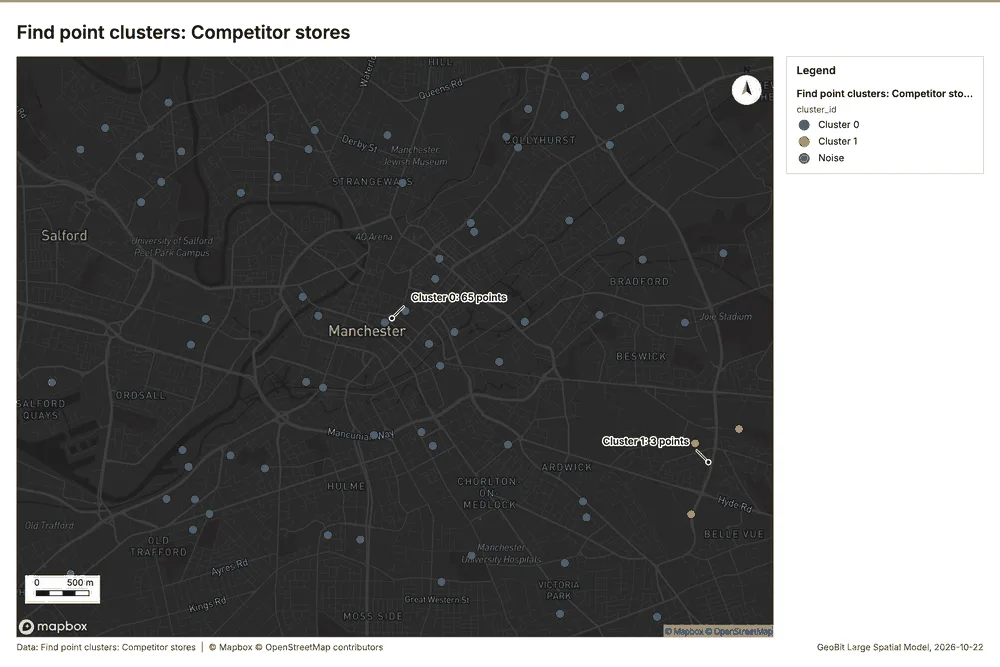
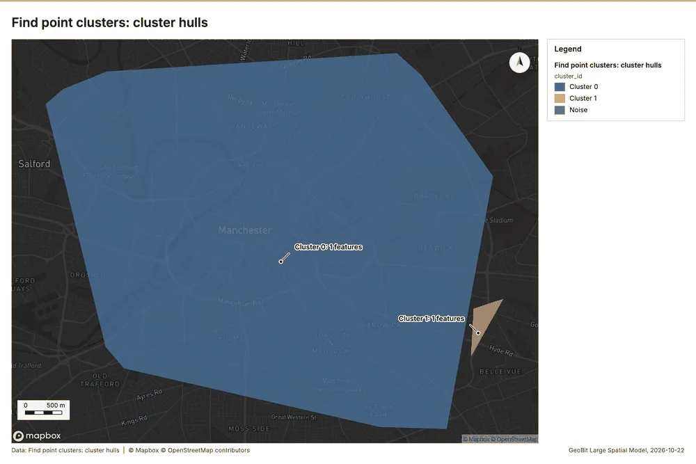
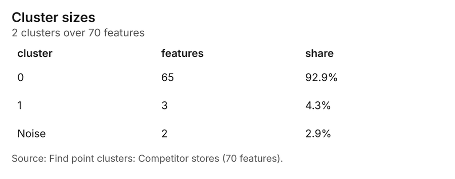
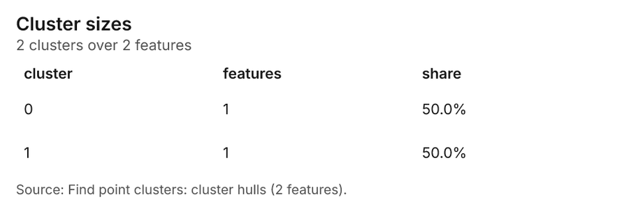
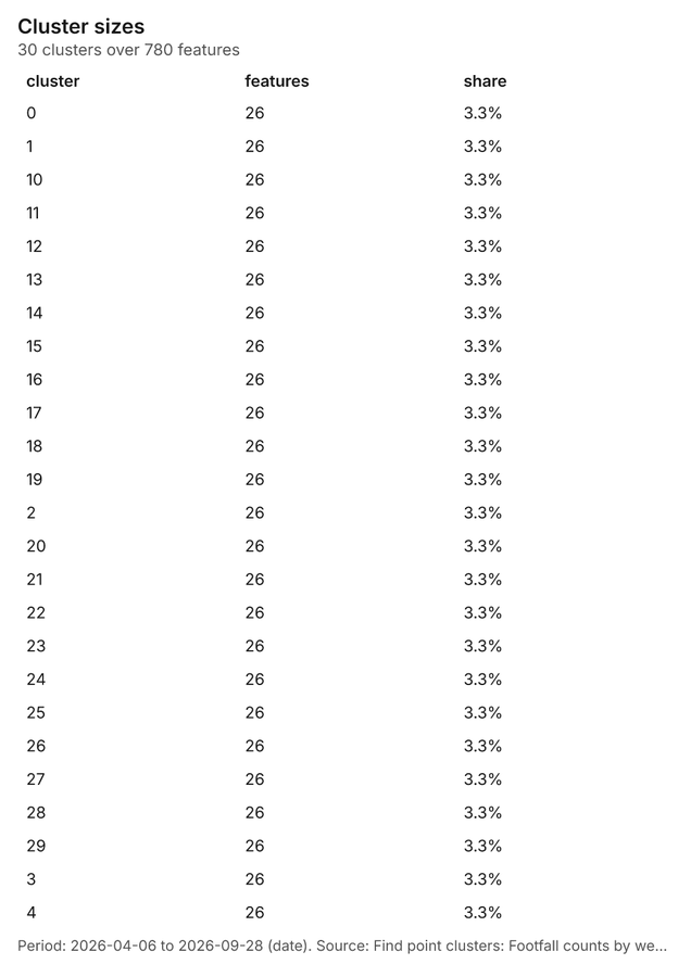
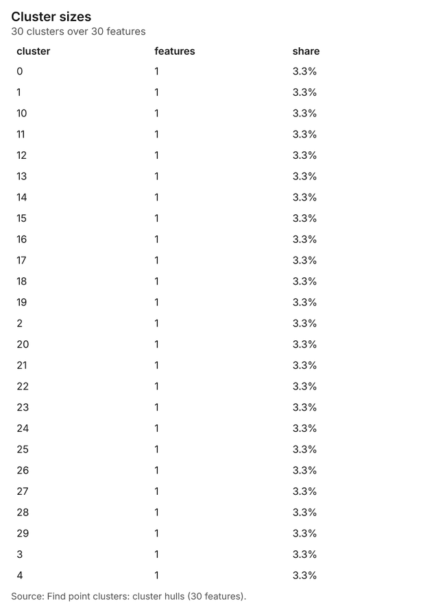
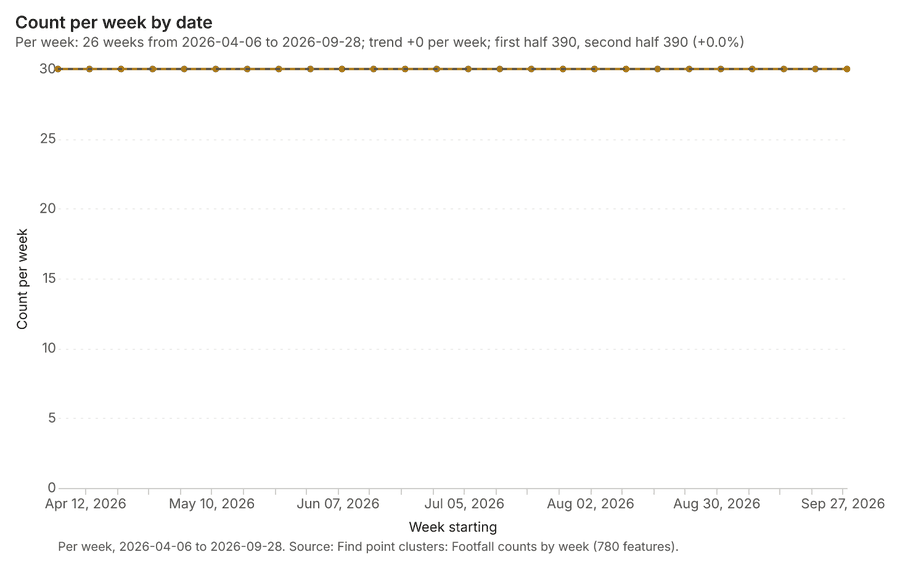
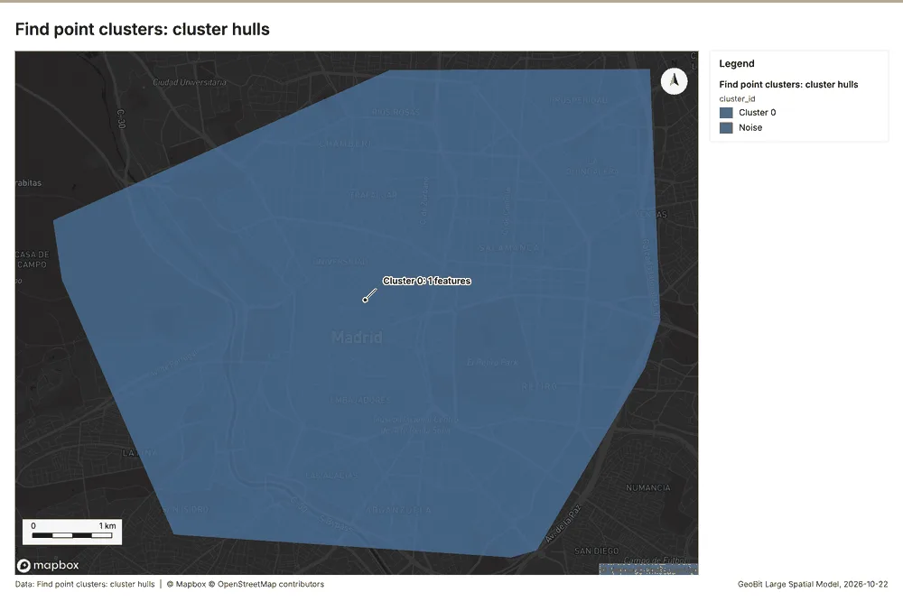
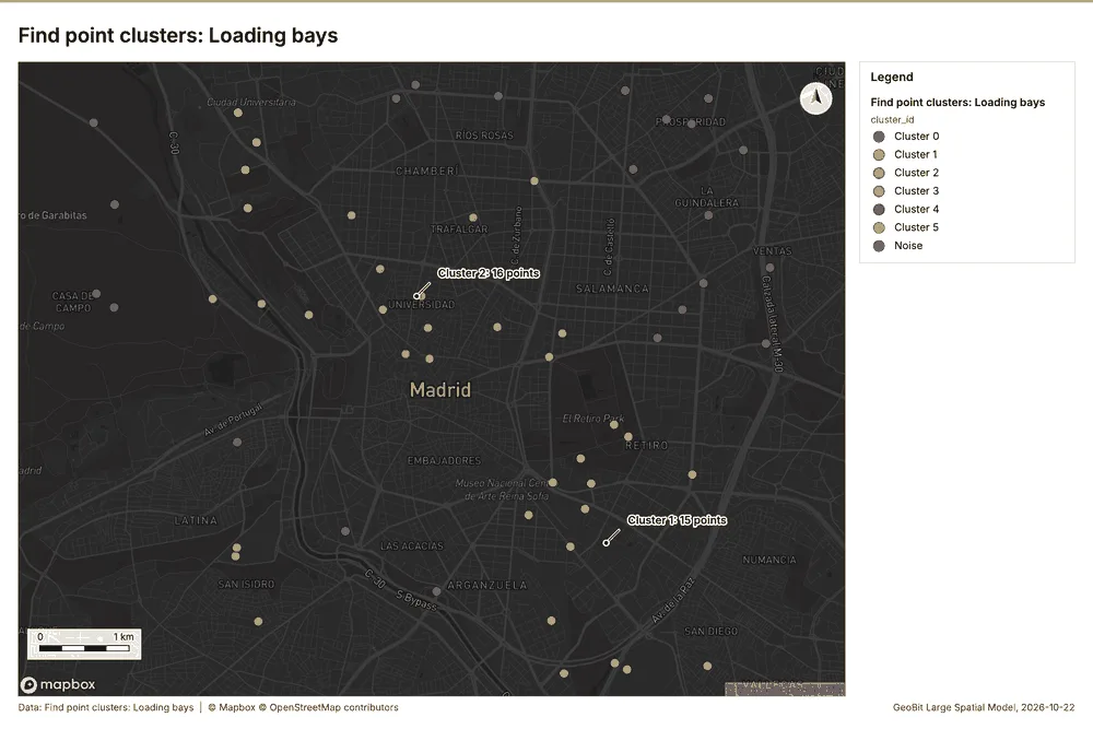
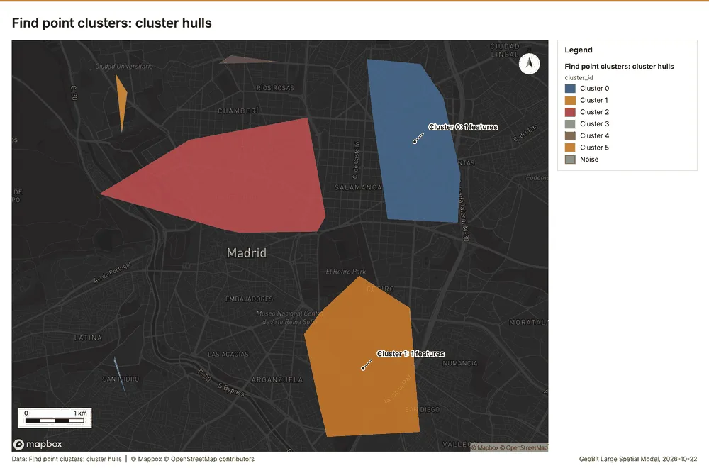
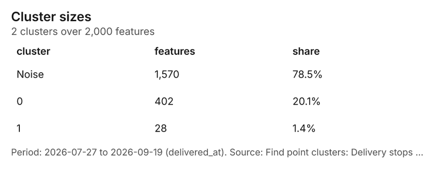
Logistics Madrid, Spain
3 calls succeeded. 6 output layers on the sample's interactive map.
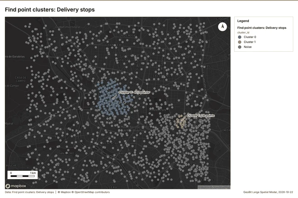
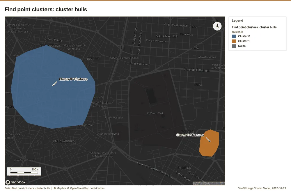
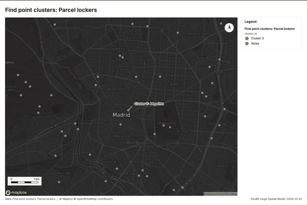
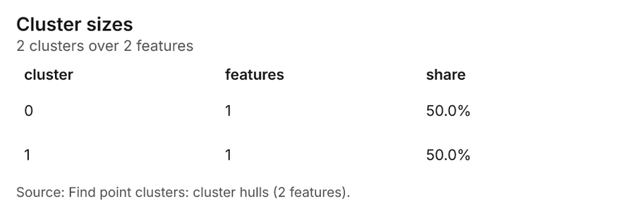
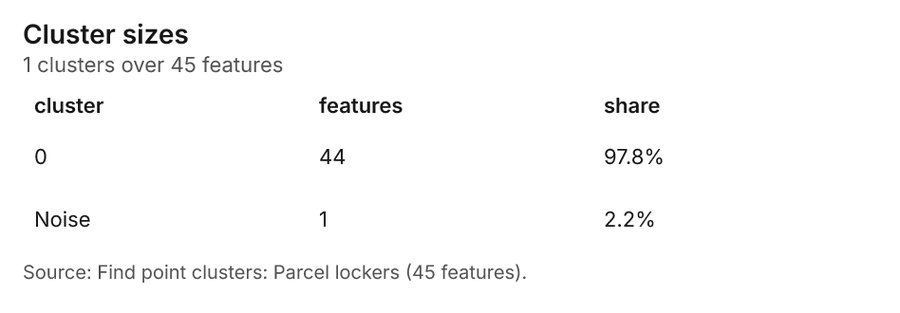
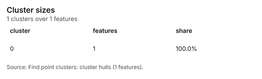
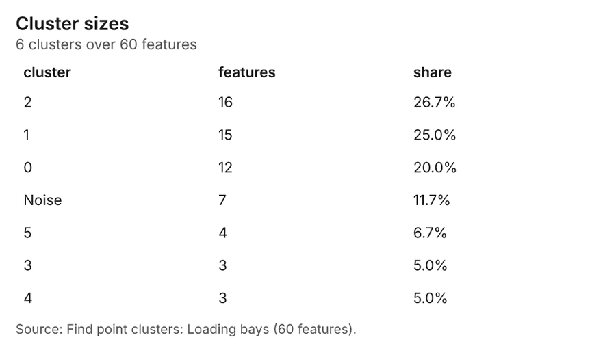
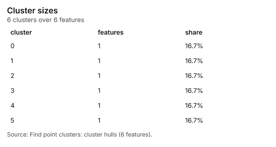
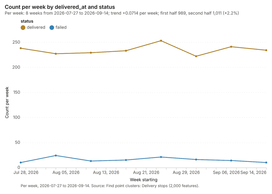
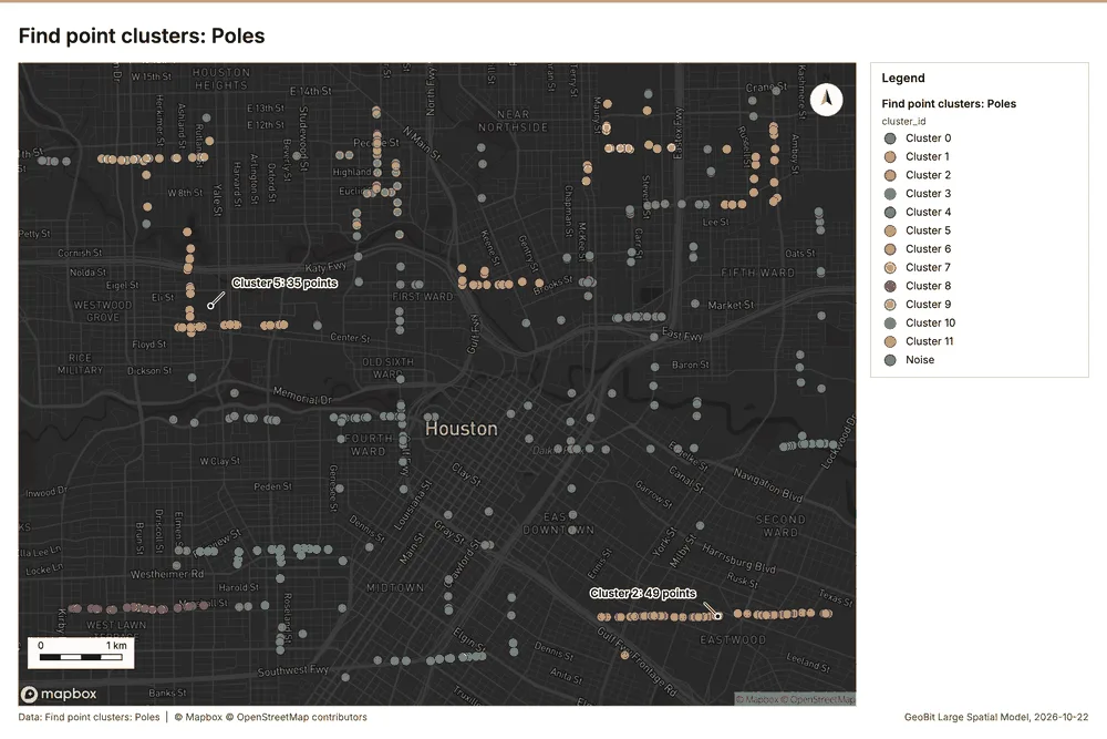
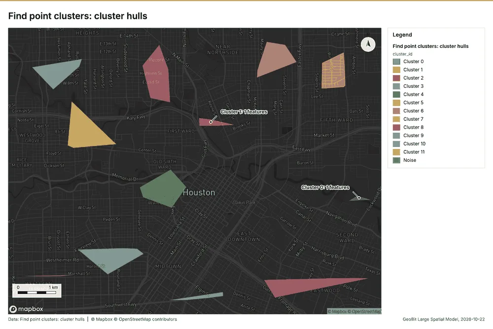
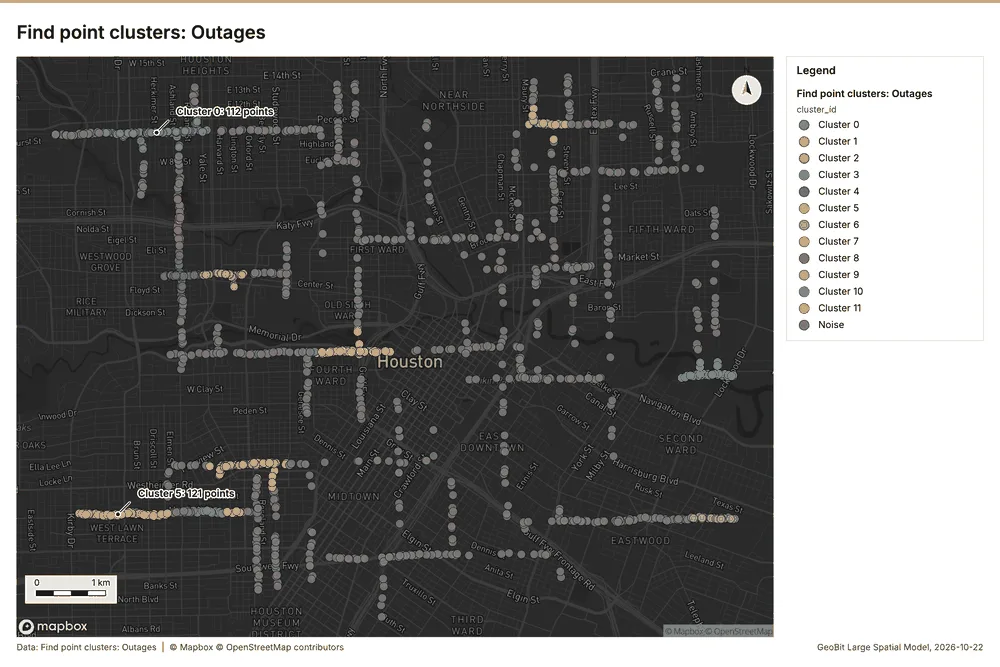
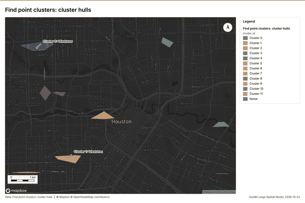
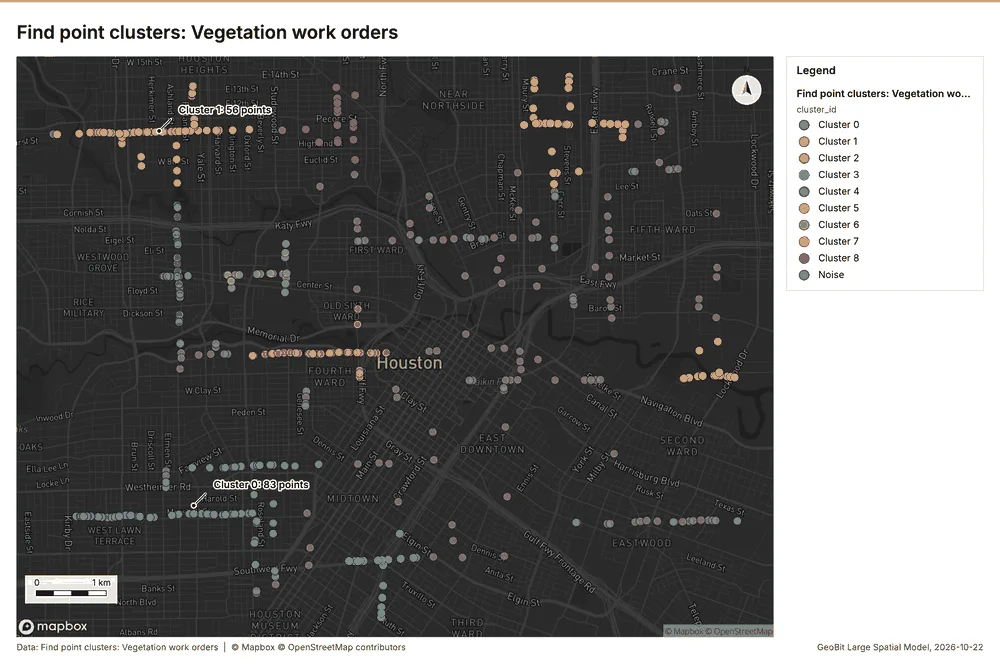
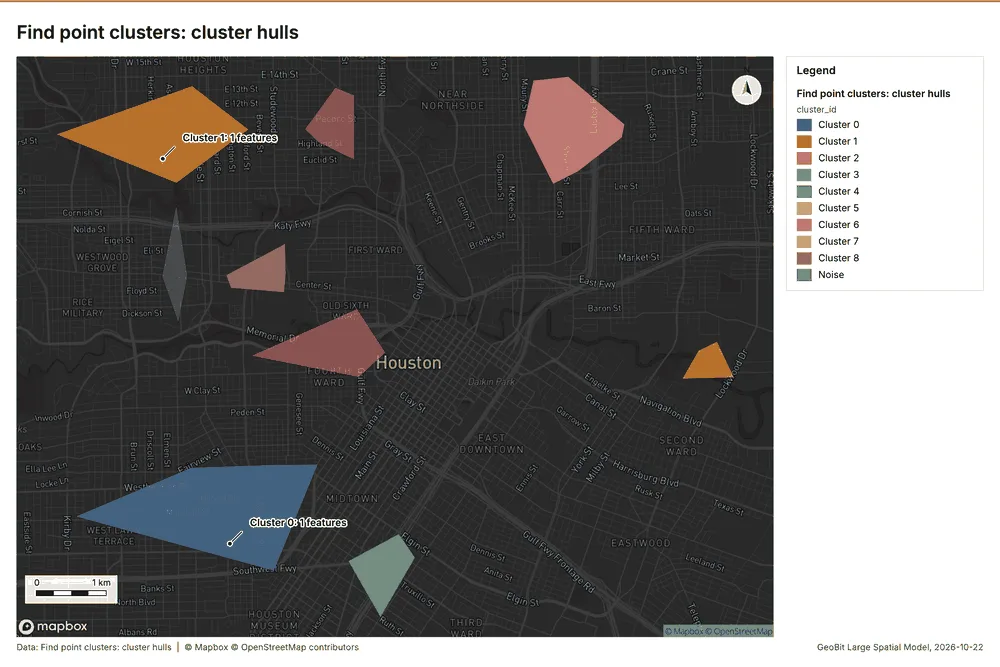
Electricity utility Houston, Texas, United States
3 calls succeeded. 6 output layers on the sample's interactive map.
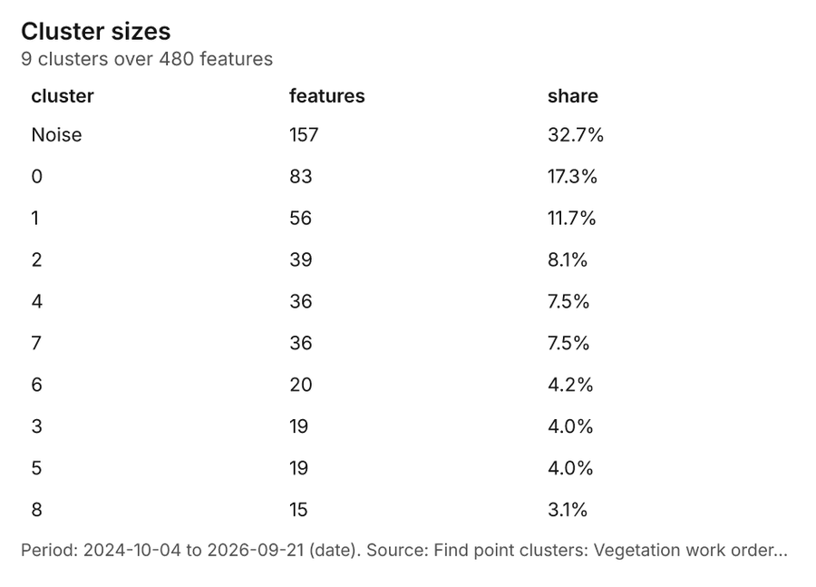
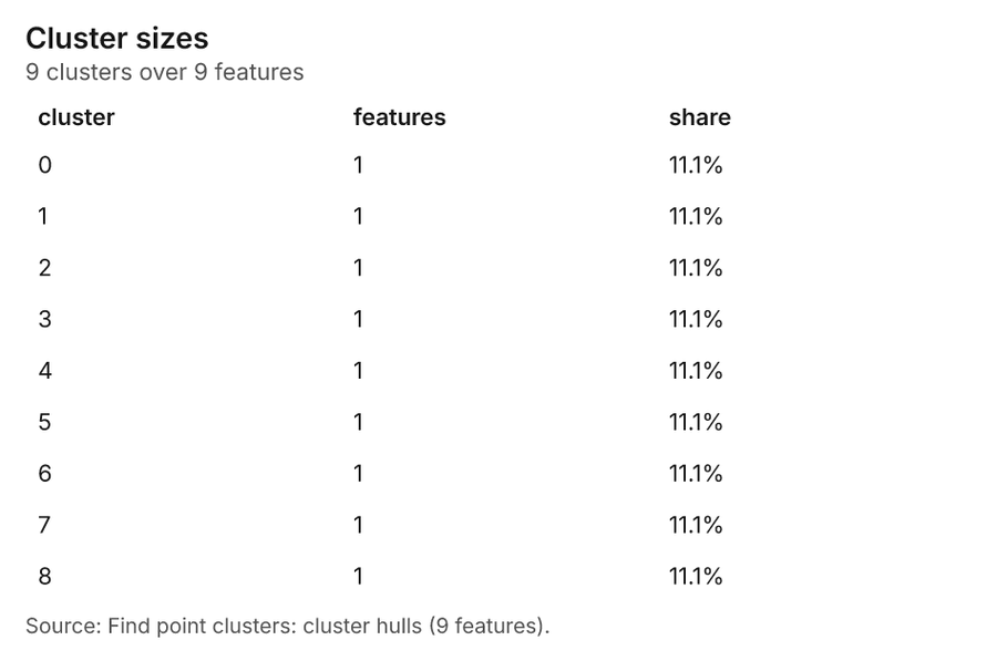
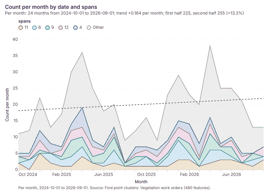
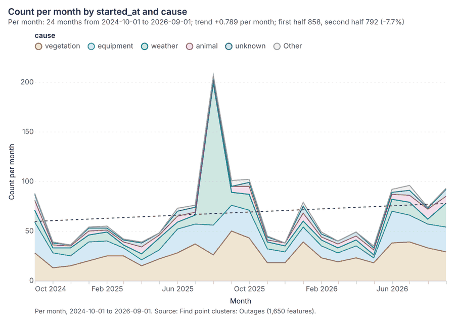
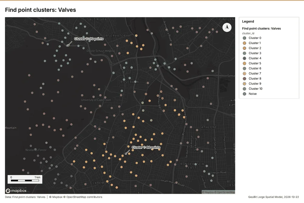
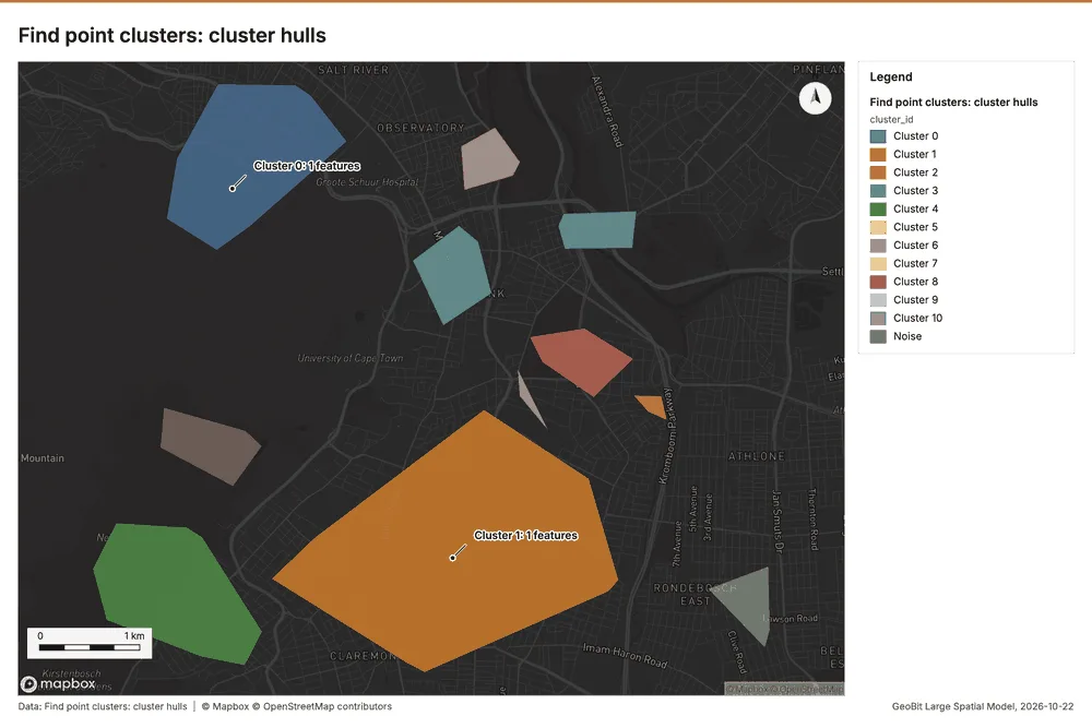
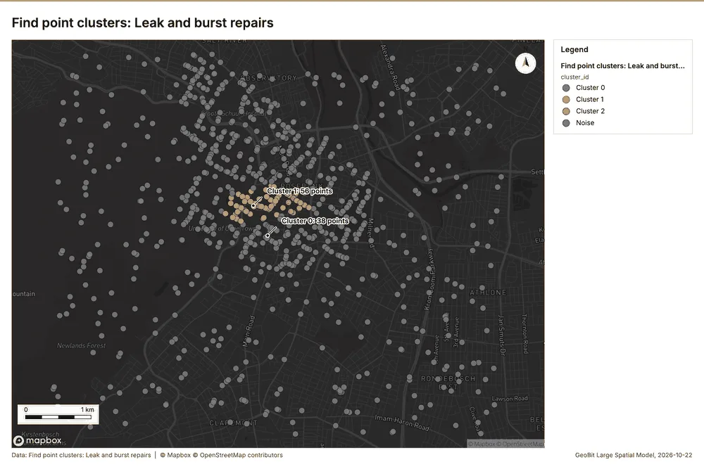
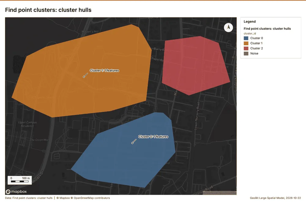
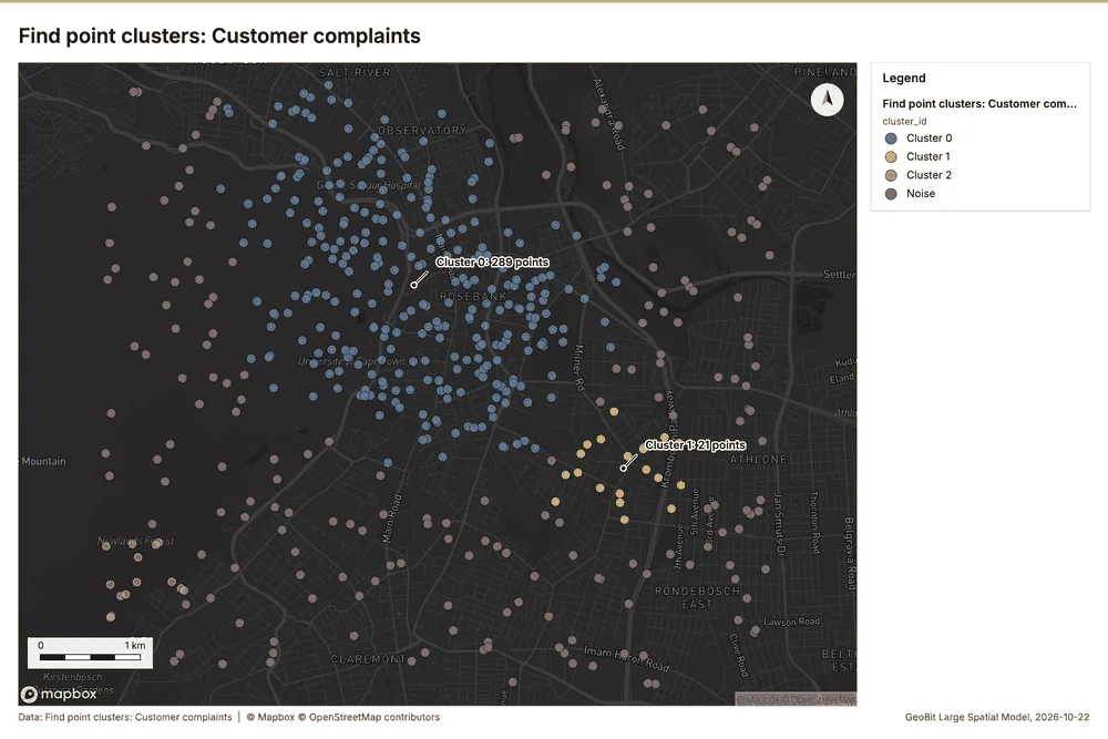
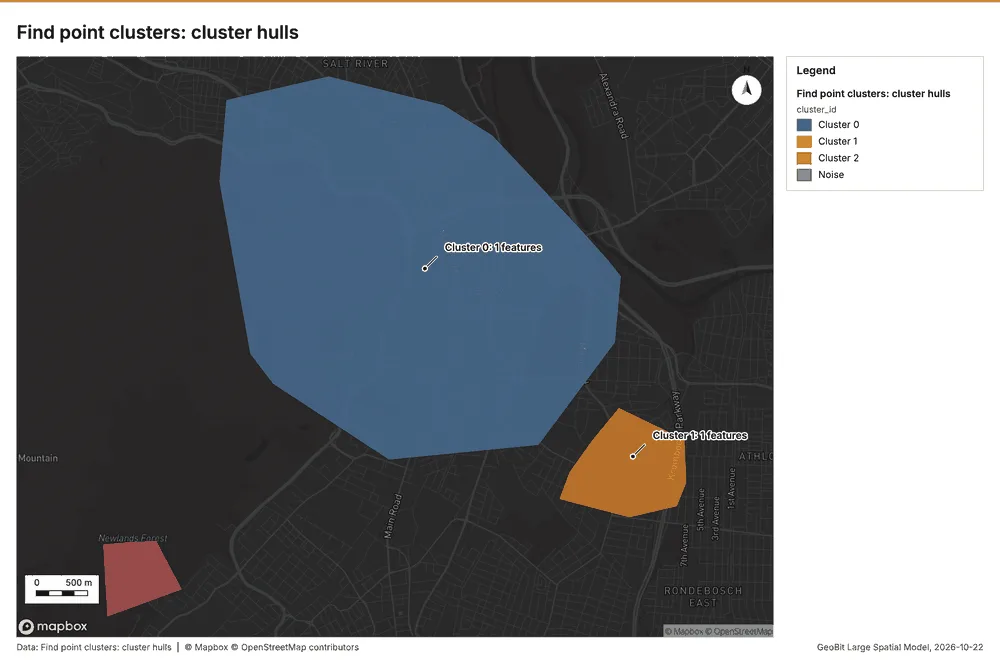
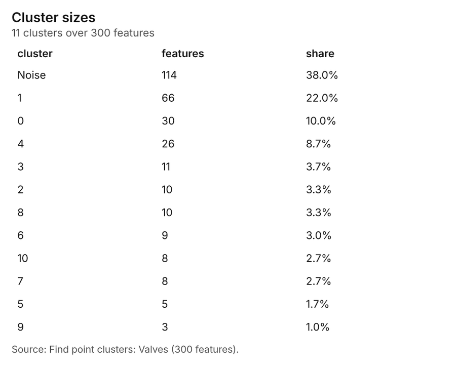
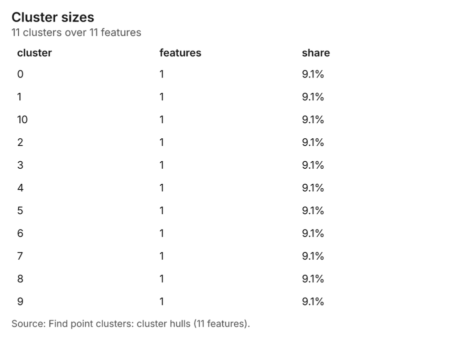
Water utility Cape Town, Western Cape, South Africa
3 calls succeeded. 6 output layers on the sample's interactive map.
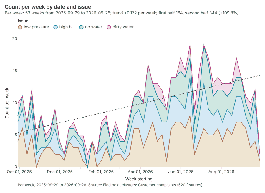
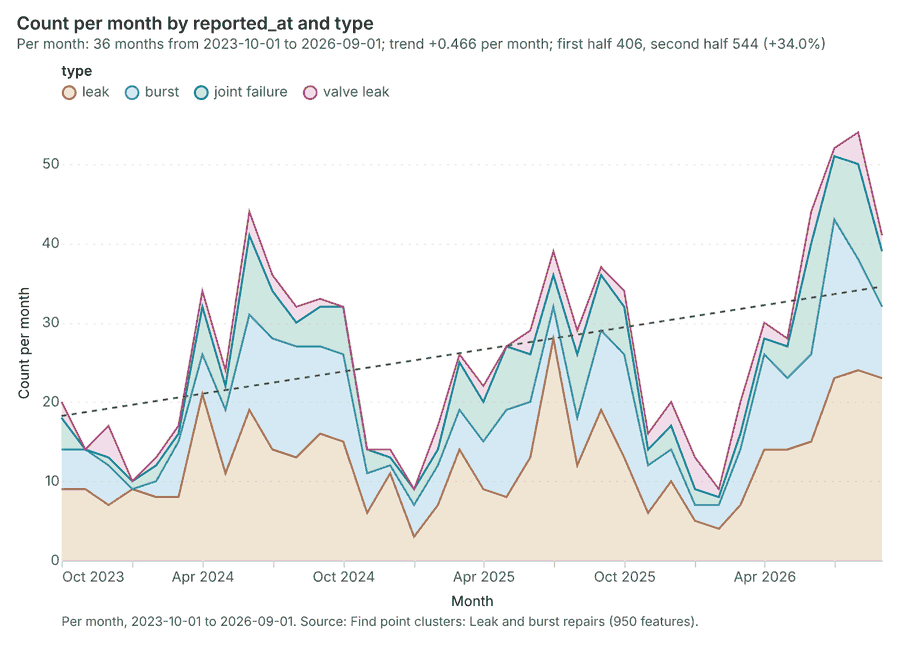
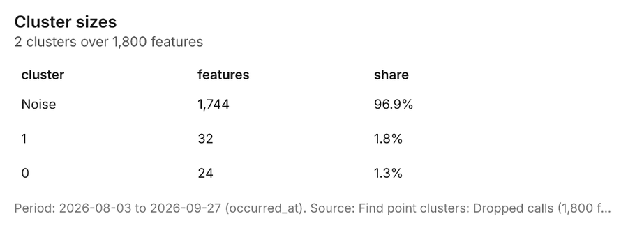
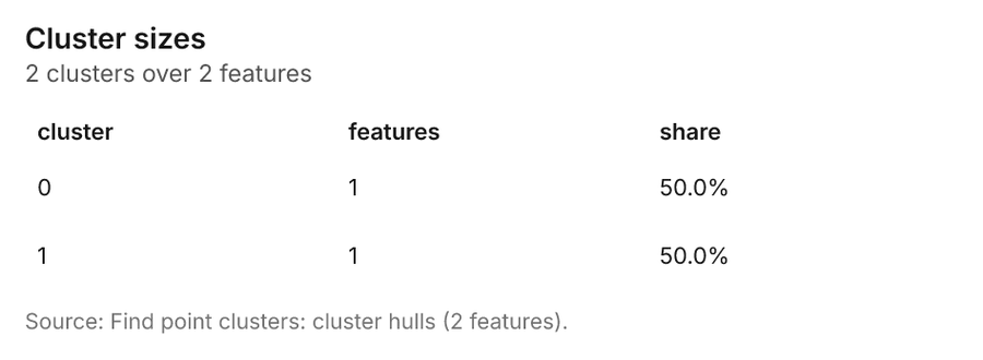
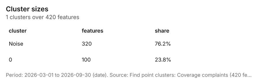
Telecom Medellin, Antioquia, Colombia
2 calls succeeded. 6 output layers on the sample's interactive map.
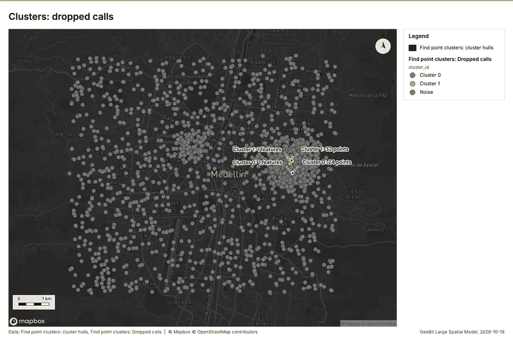
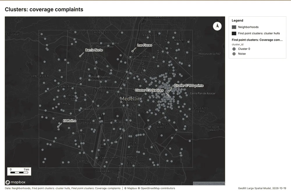
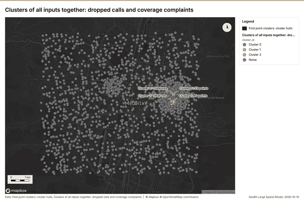
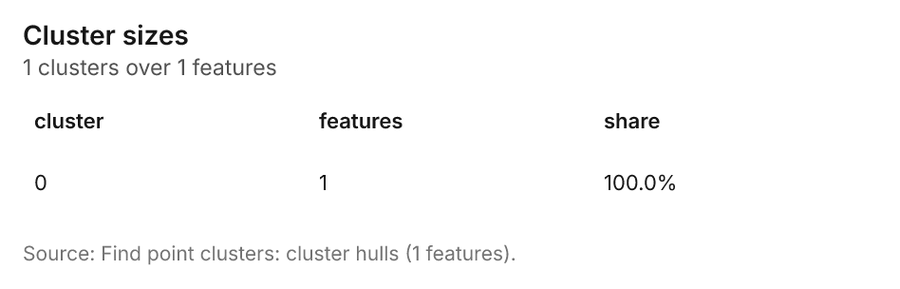
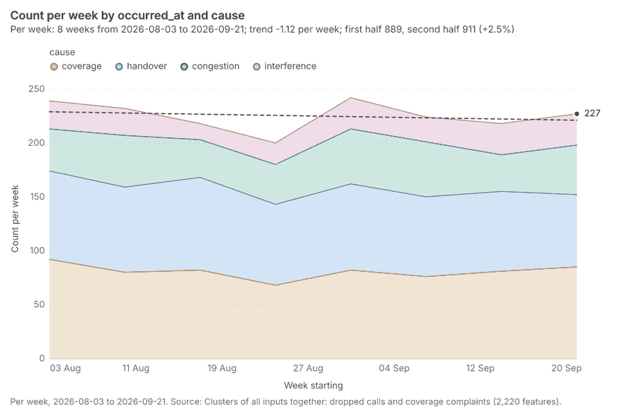
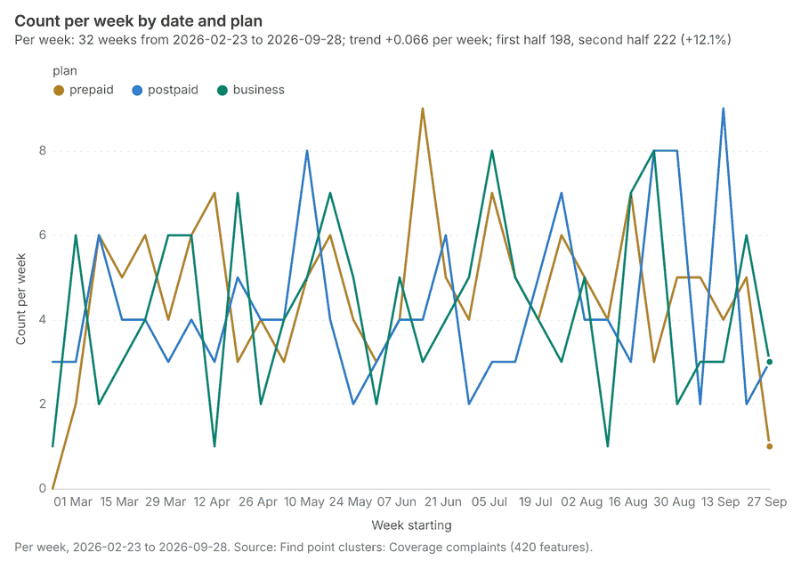
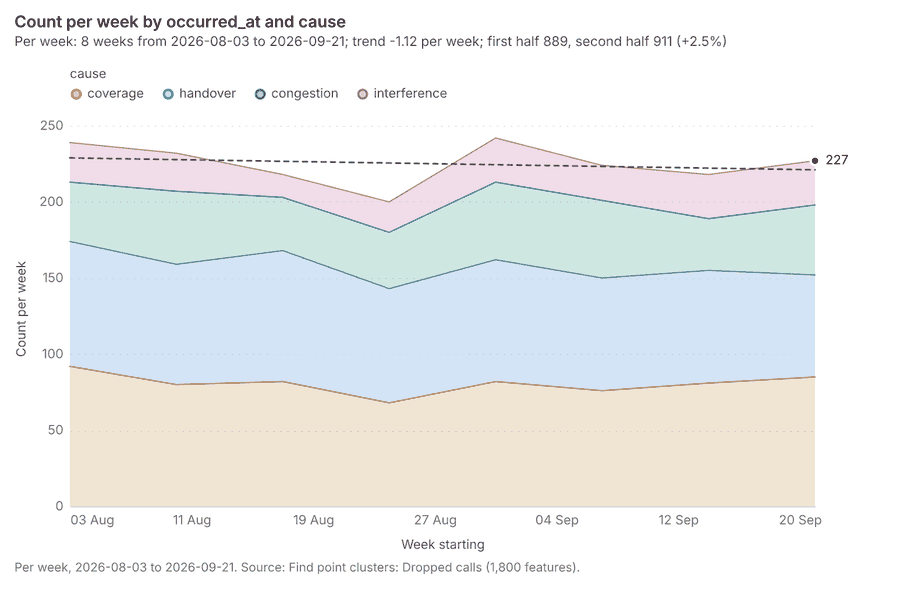
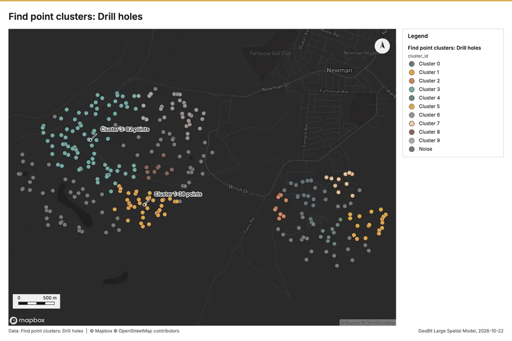
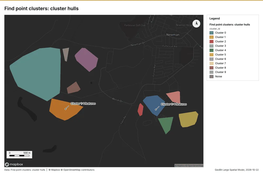
Mining Newman, Pilbara, Western Australia
3 calls succeeded. 6 output layers on the sample's interactive map.
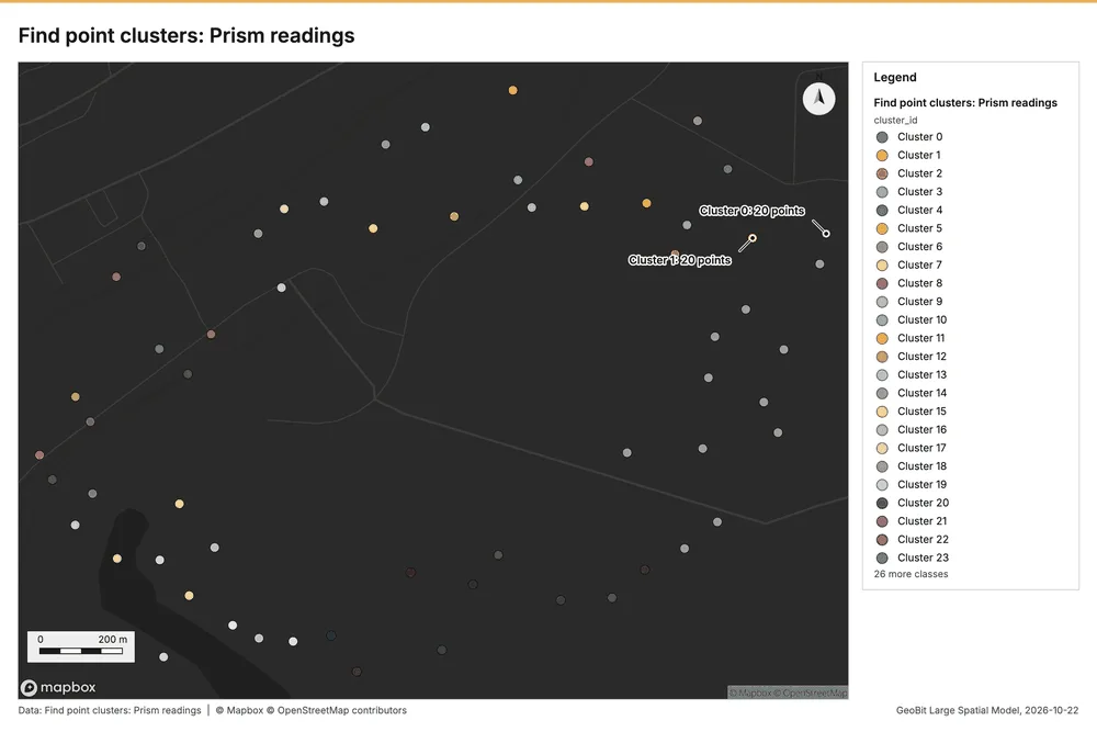
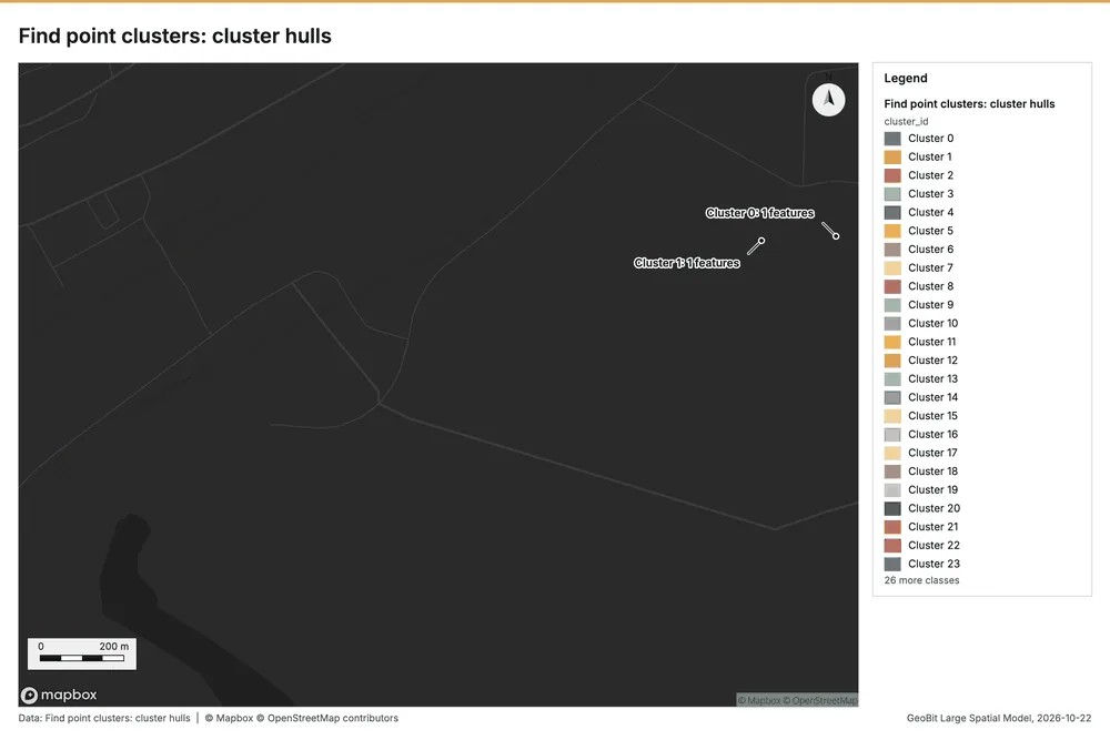
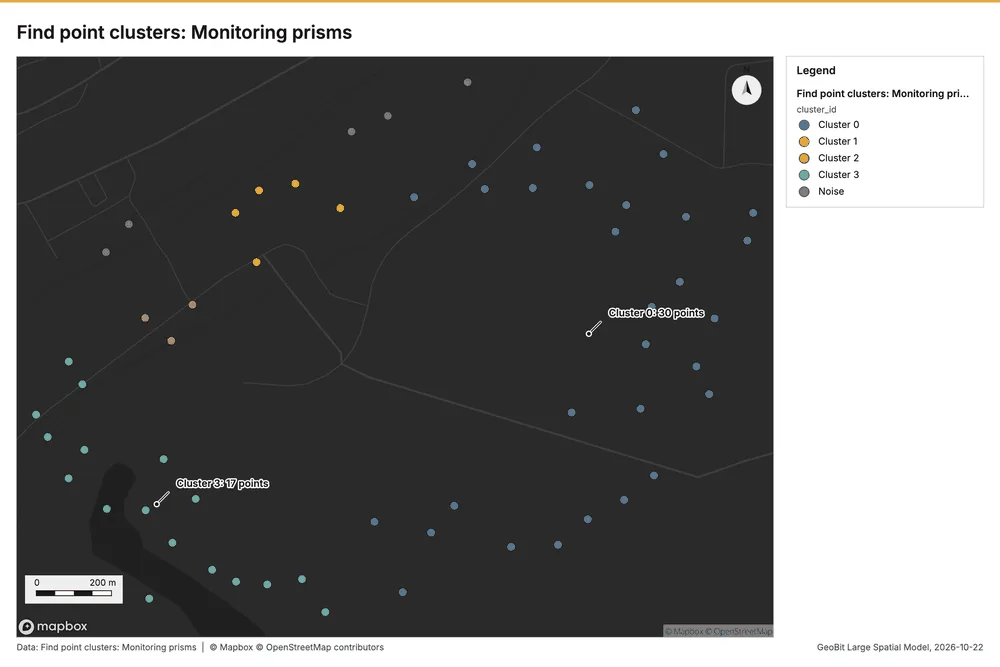
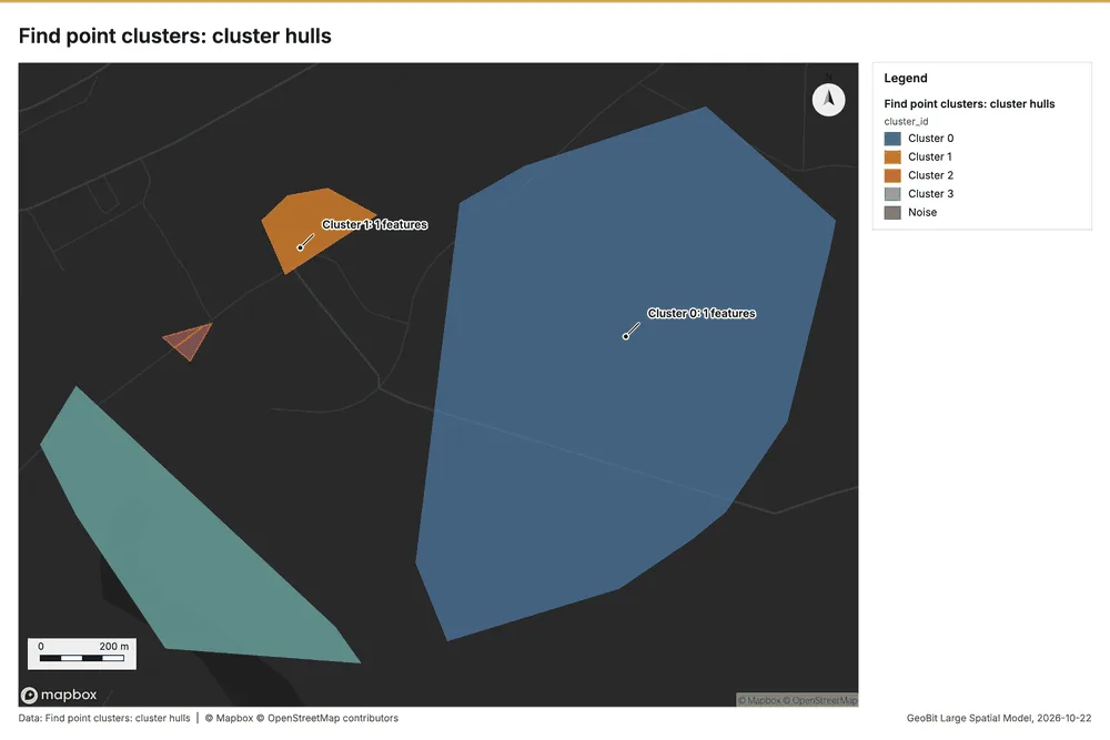
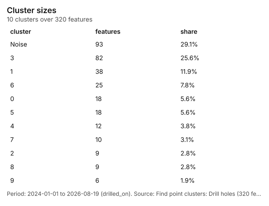
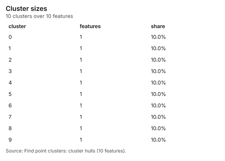
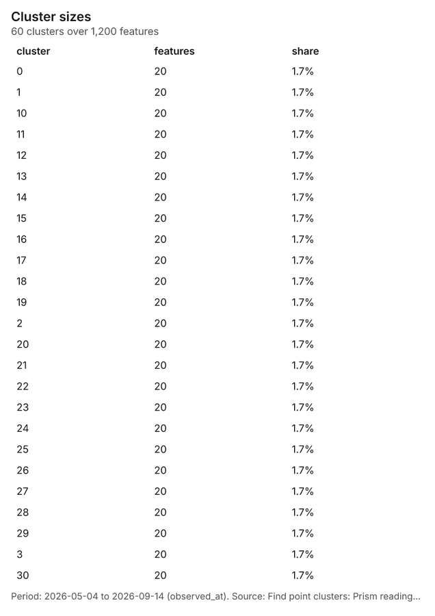
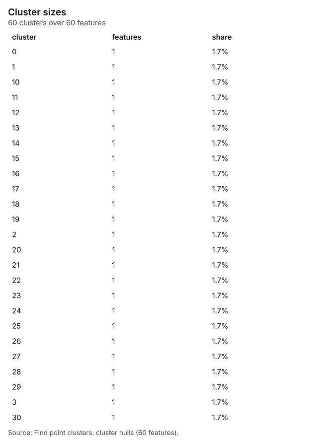
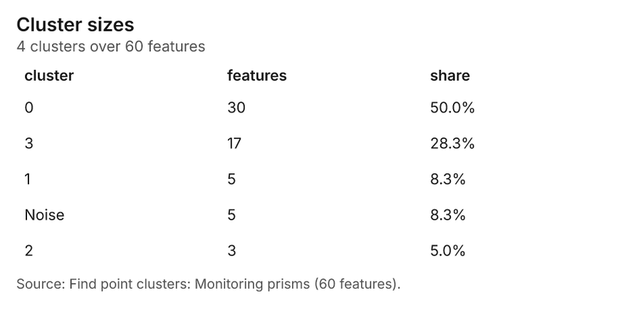
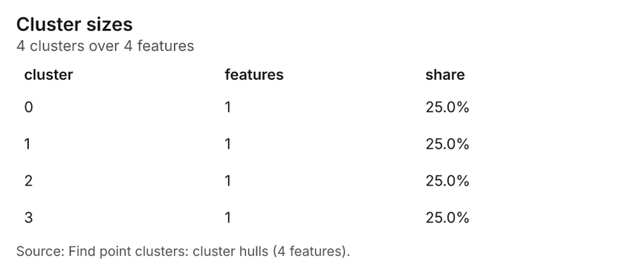
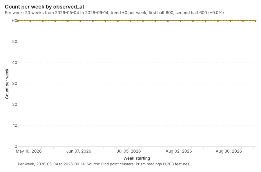
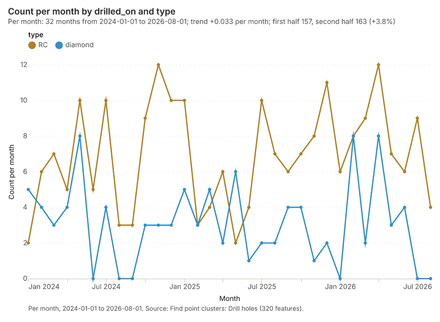
Oil and gas pipelines Midland, Texas, United States
3 calls succeeded. 6 output layers on the sample's interactive map.
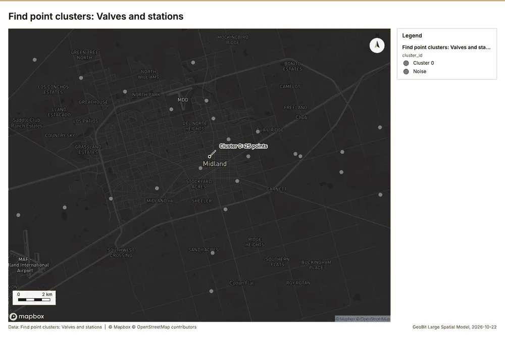
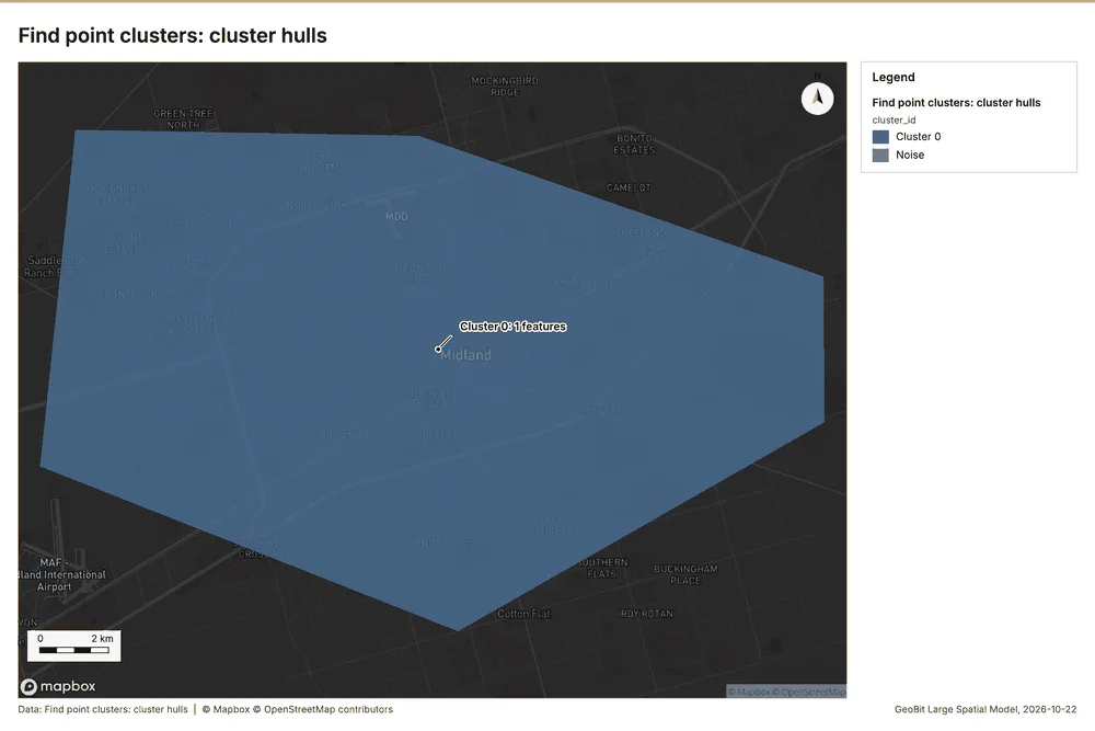
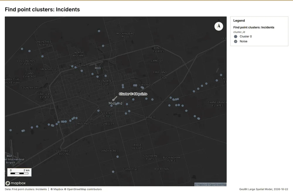
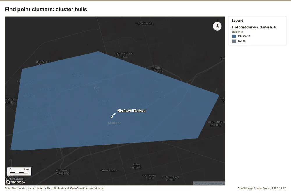
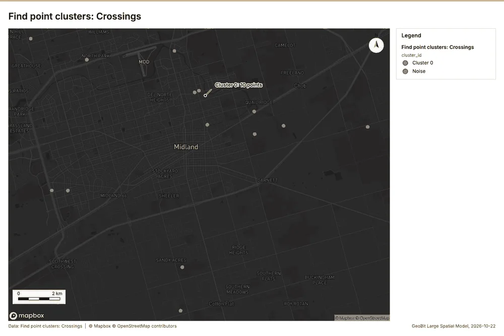
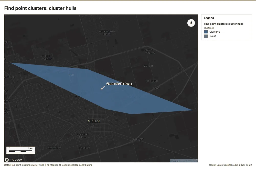
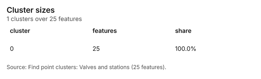
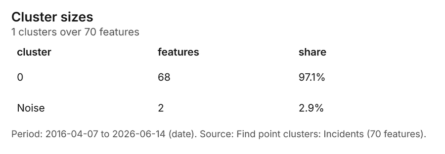
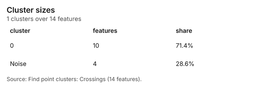
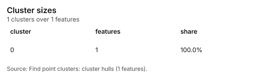
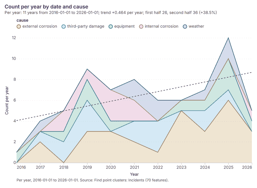
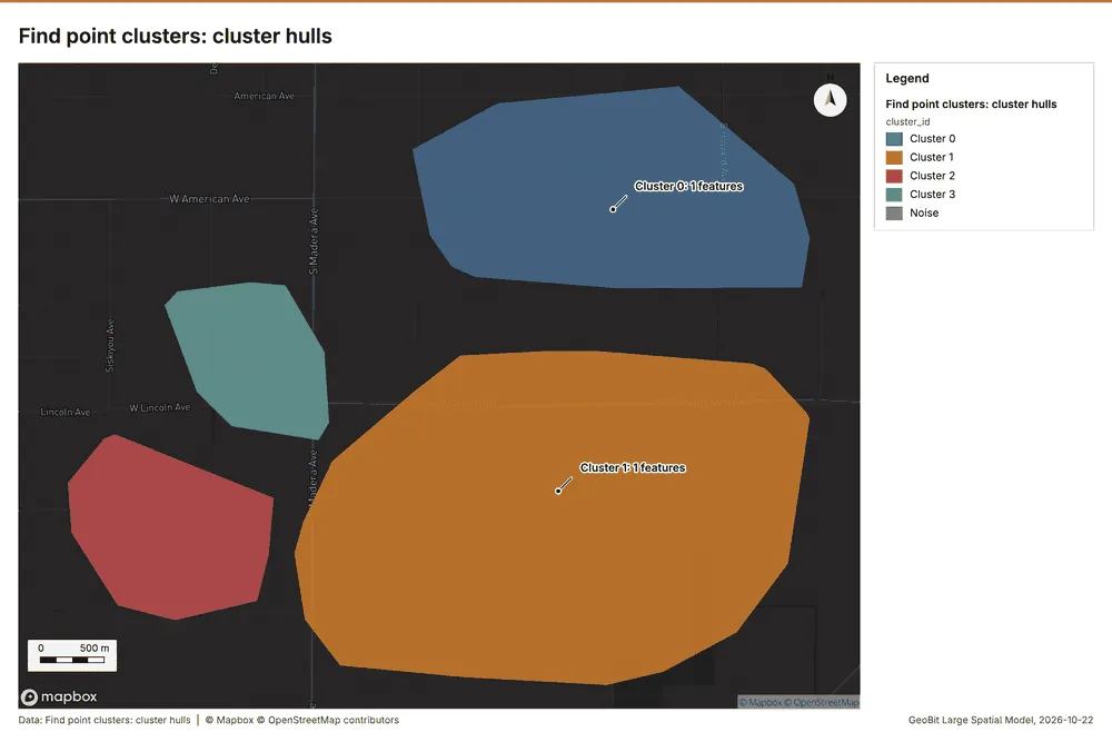
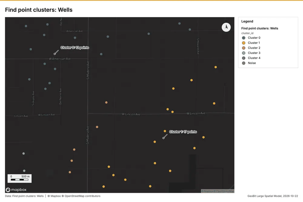
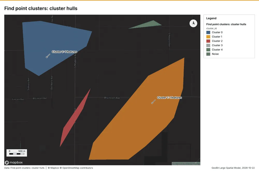
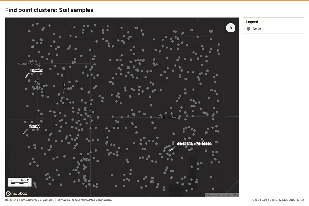
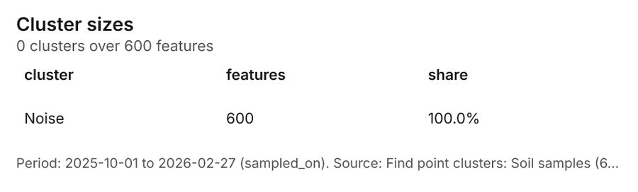
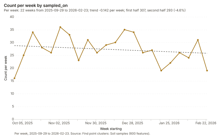
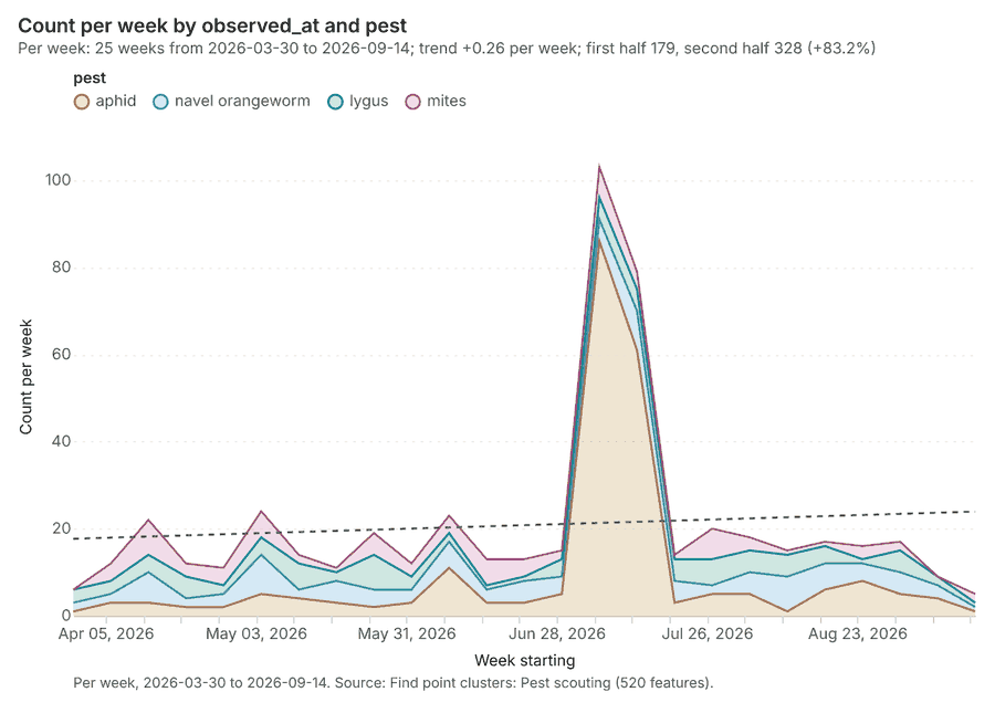
Agriculture Fresno County, California, United States
3 calls succeeded. 5 output layers on the sample's interactive map.
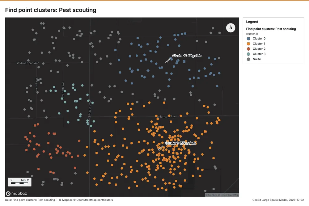
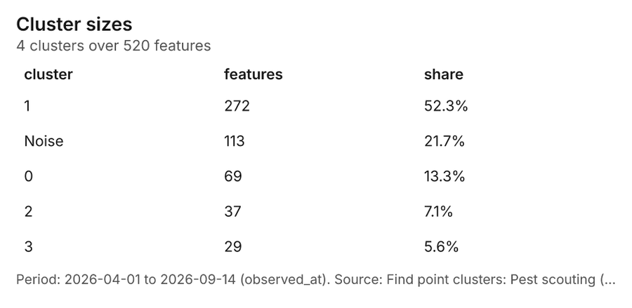
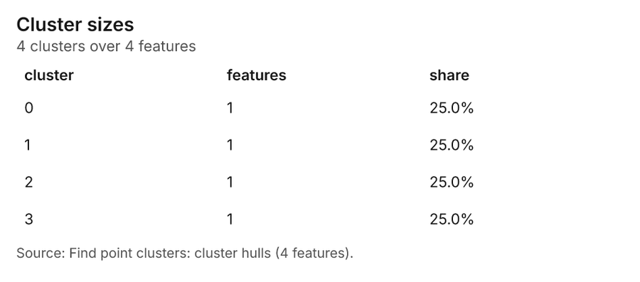
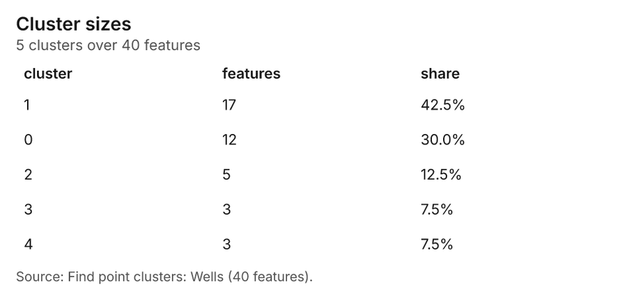
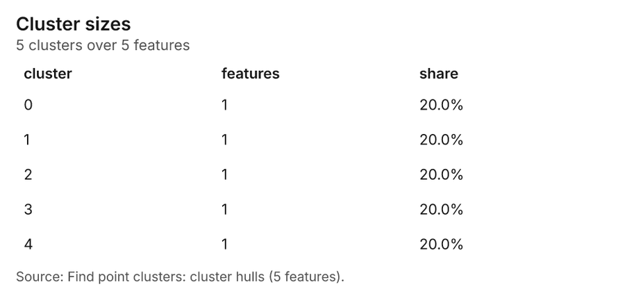
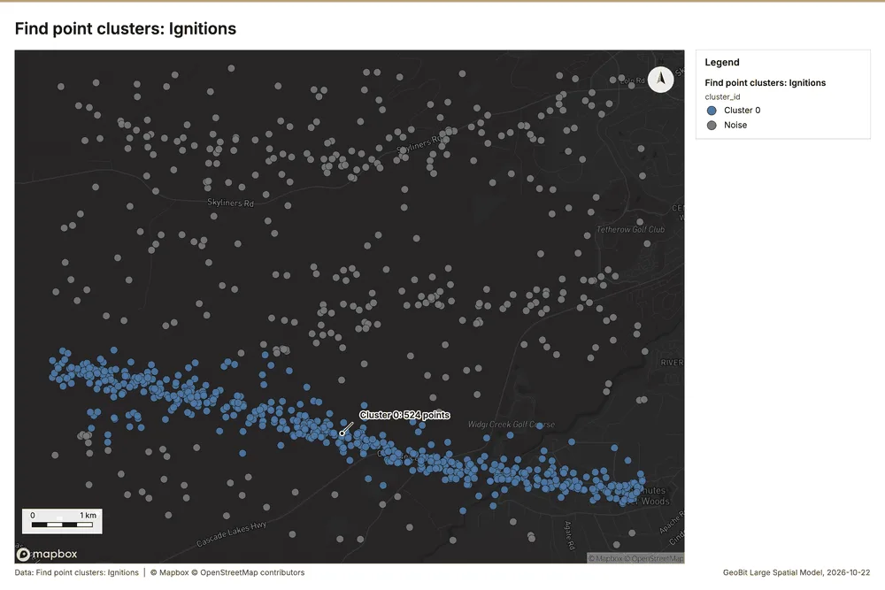
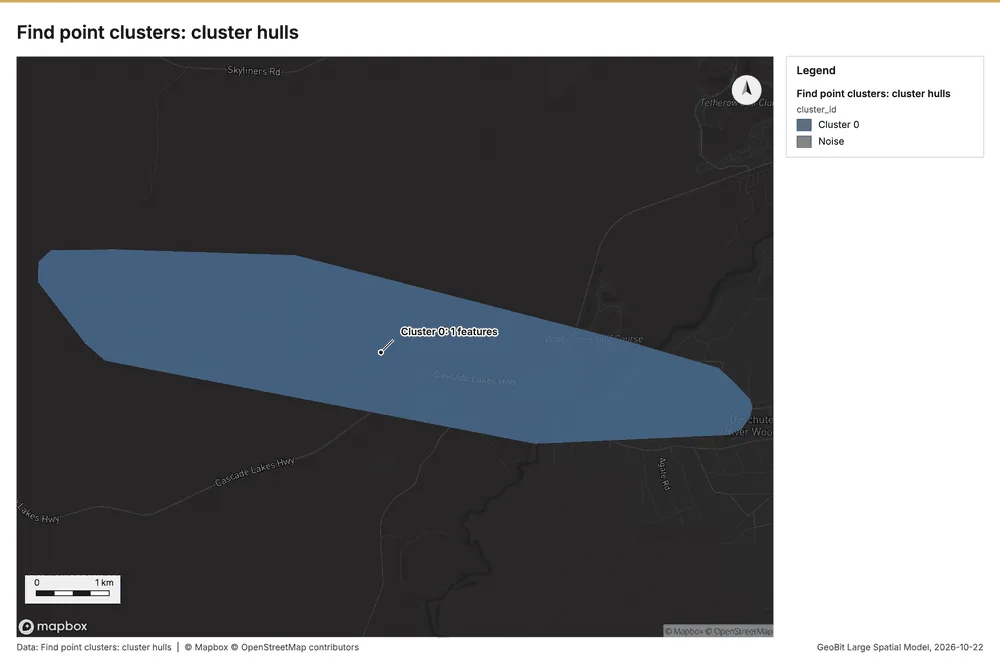
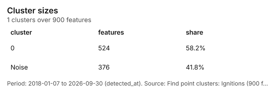
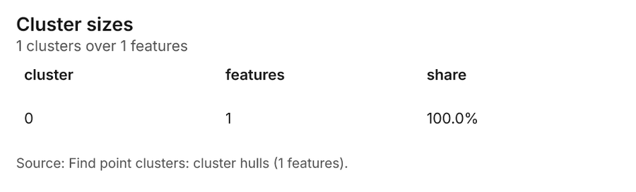
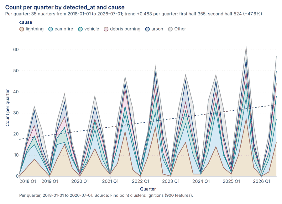
Forestry and wildfire Bend, Oregon, United States
1 call succeeded. 2 output layers on the sample's interactive map.
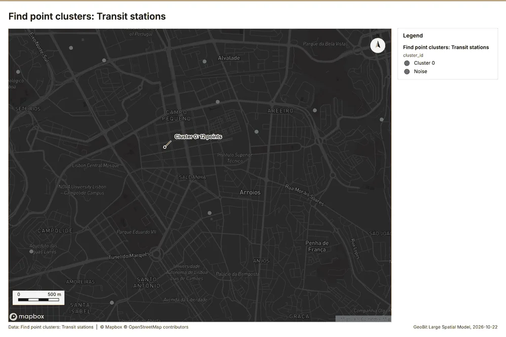
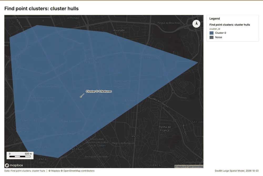
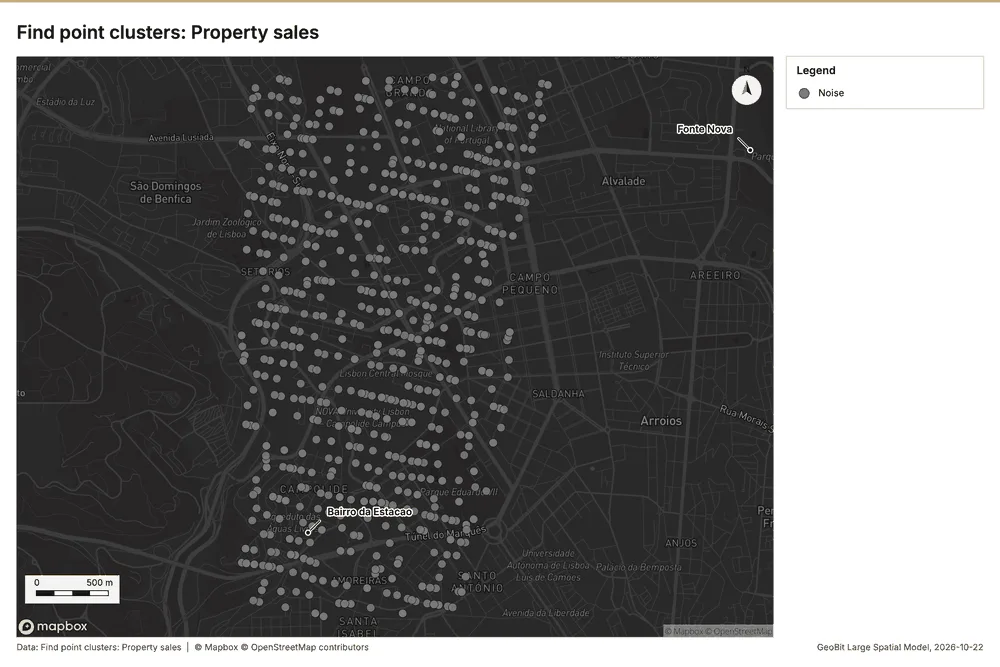
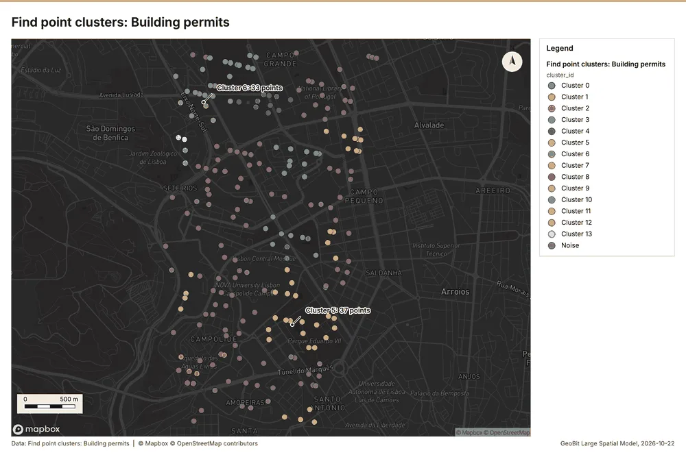
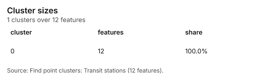
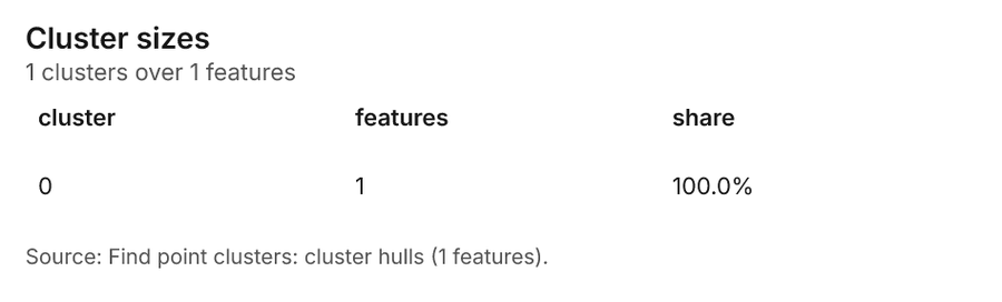
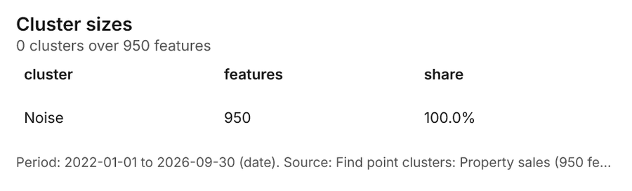
Real estate and urban planning Lisbon, Portugal
3 calls succeeded. 5 output layers on the sample's interactive map.
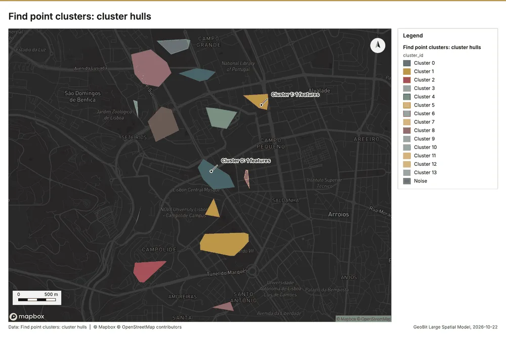
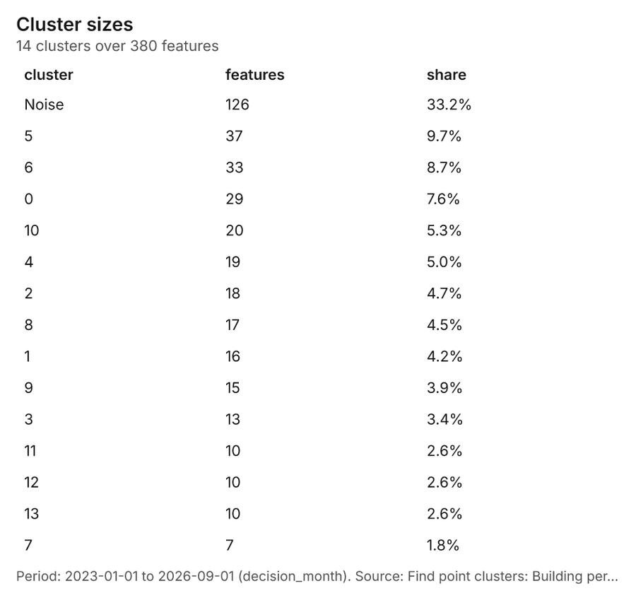
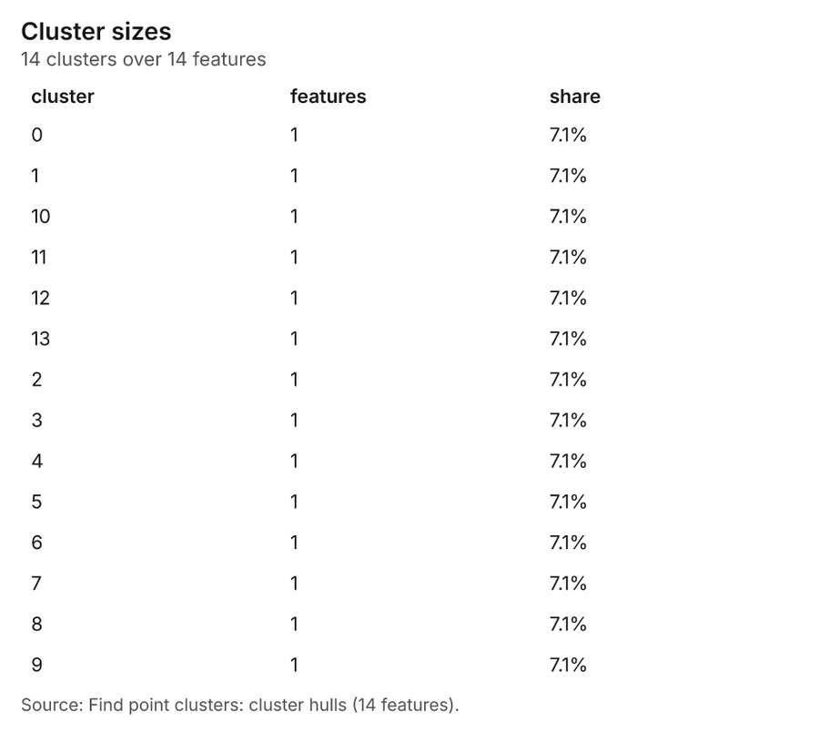
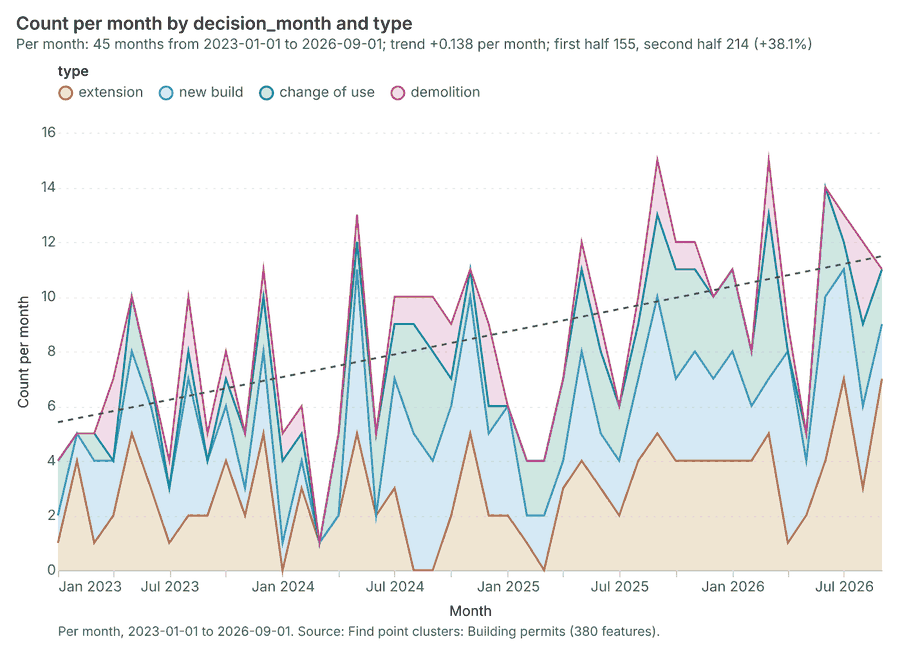
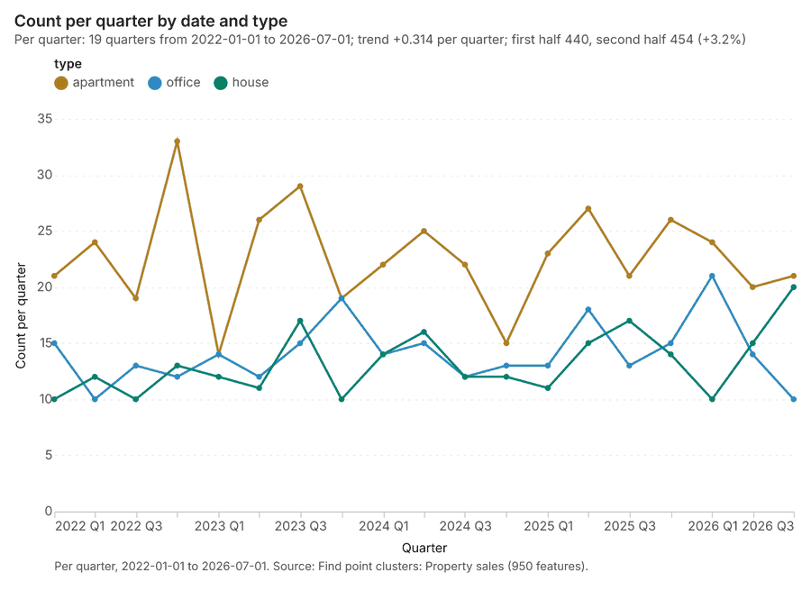
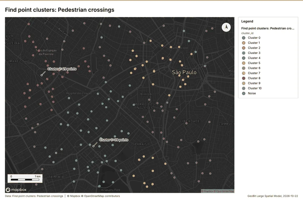
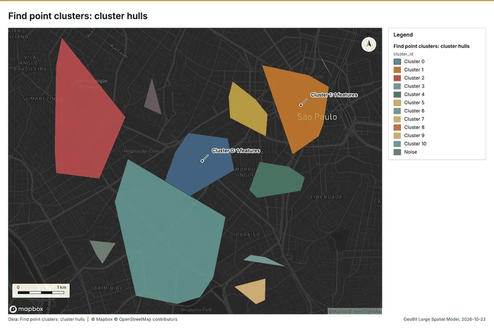
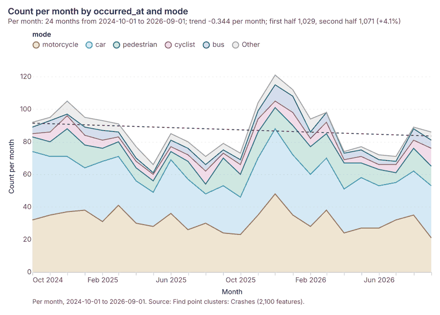
Transportation safety Sao Paulo, Brazil
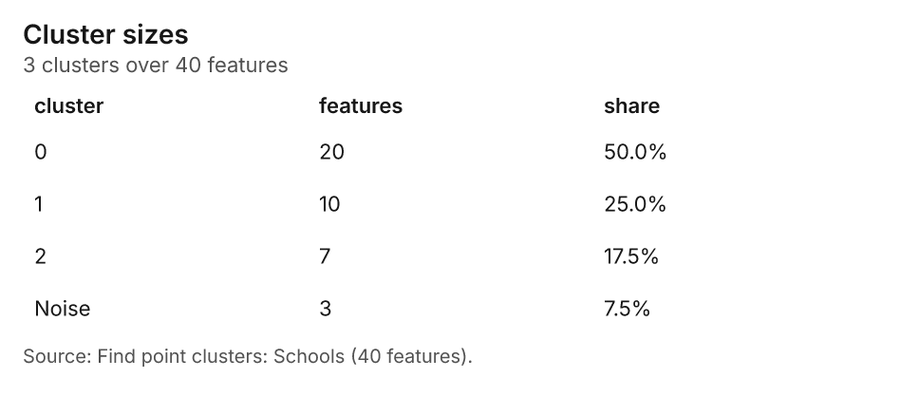
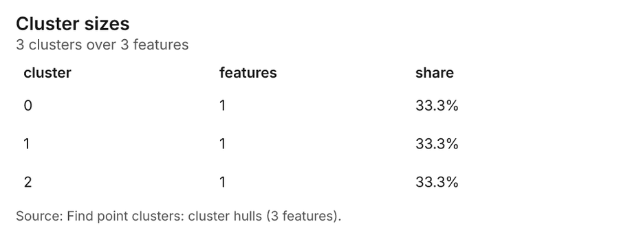
3 calls succeeded. 6 output layers on the sample's interactive map.
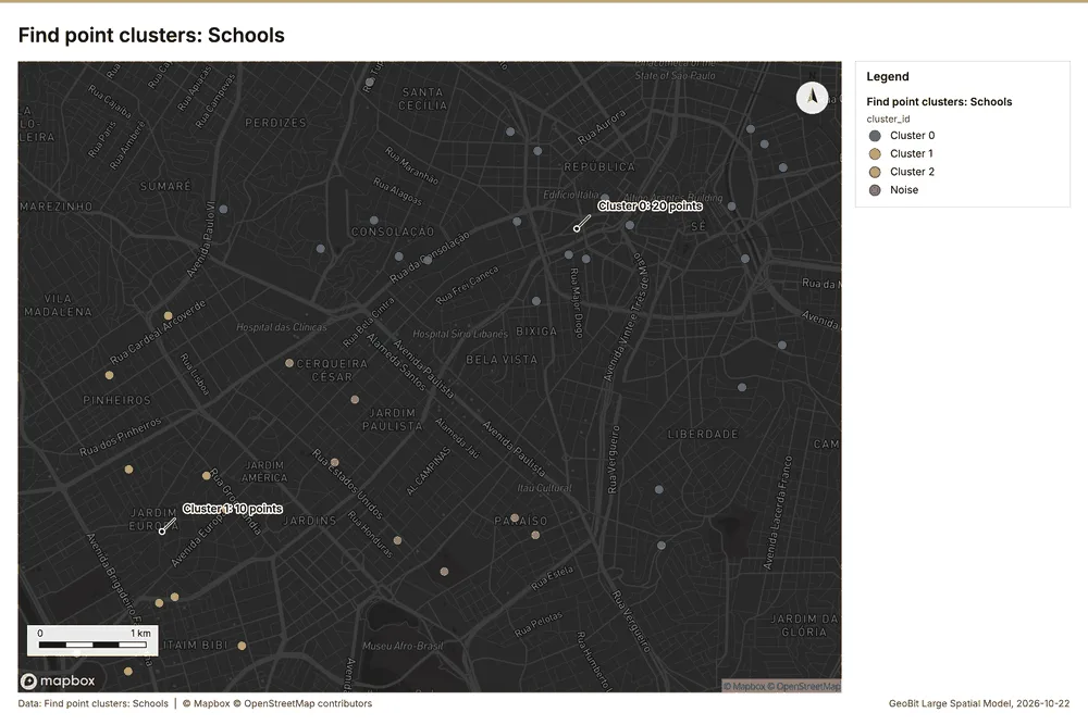
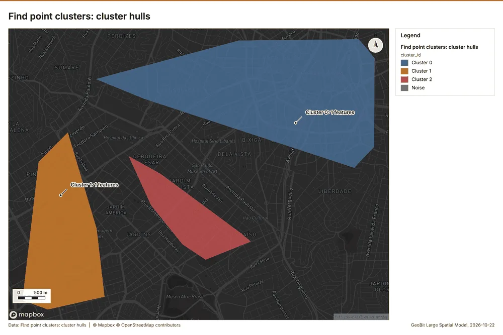
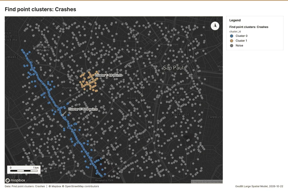
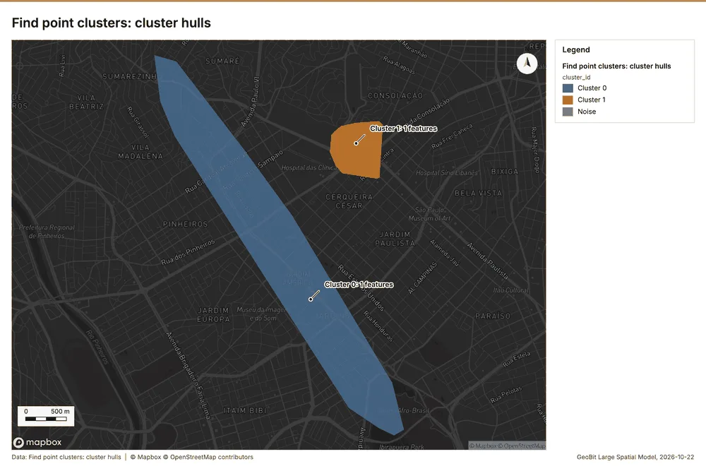
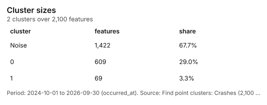
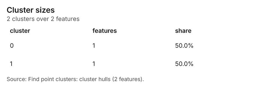
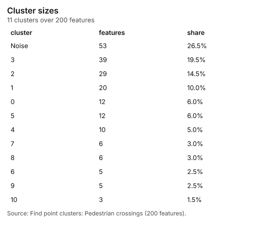
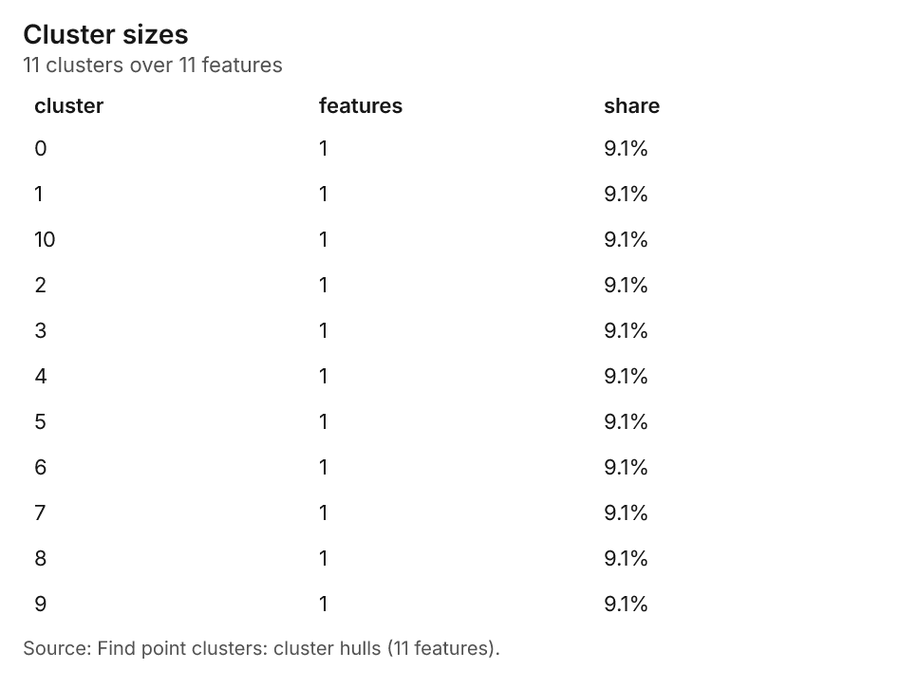
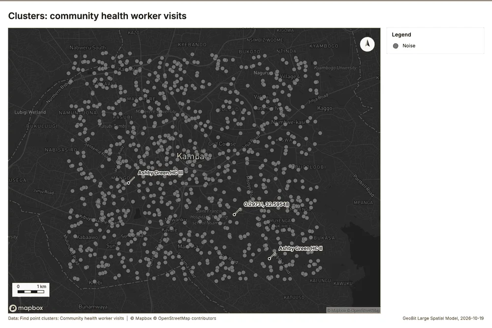
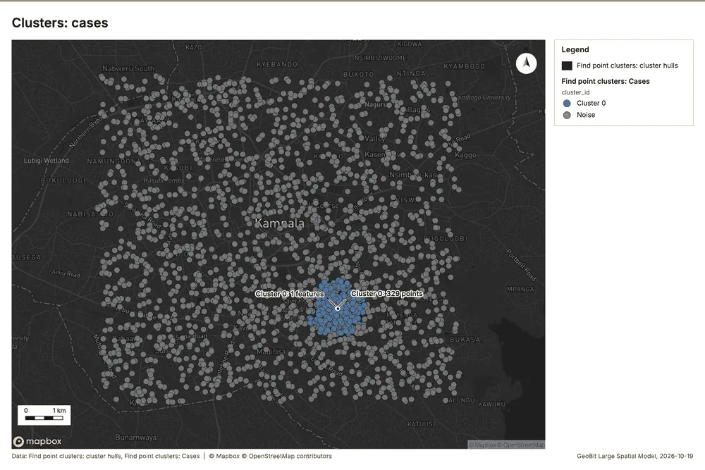
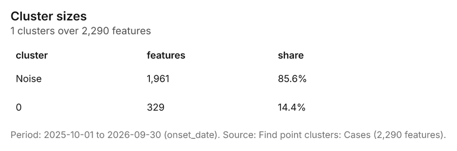
Public health Kampala, Uganda
2 calls succeeded. 3 output layers on the sample's interactive map.
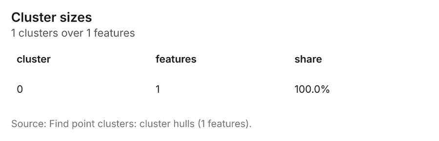
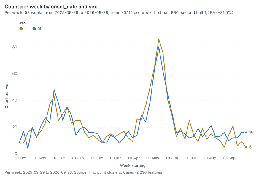
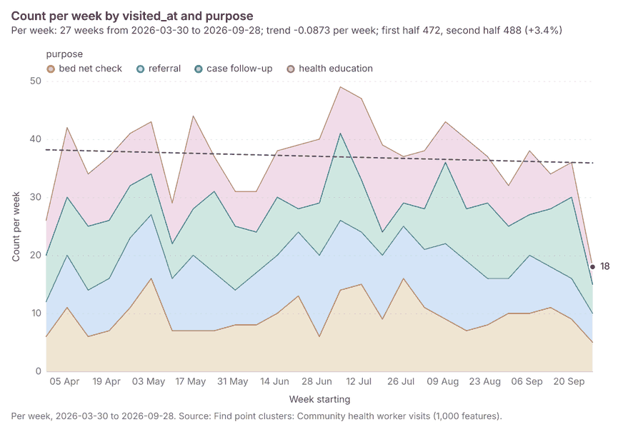
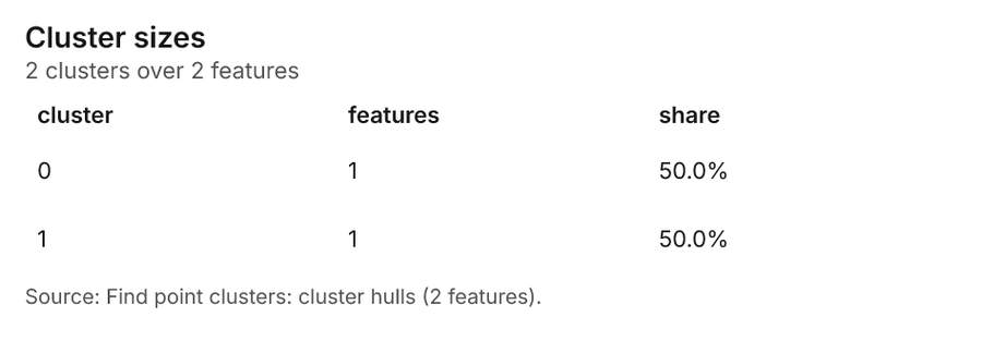
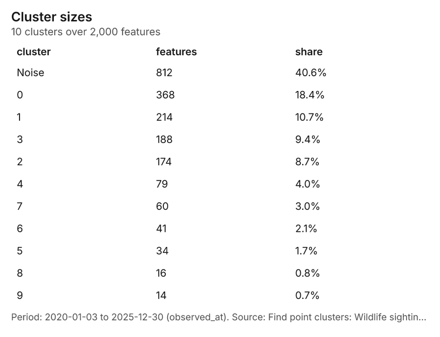
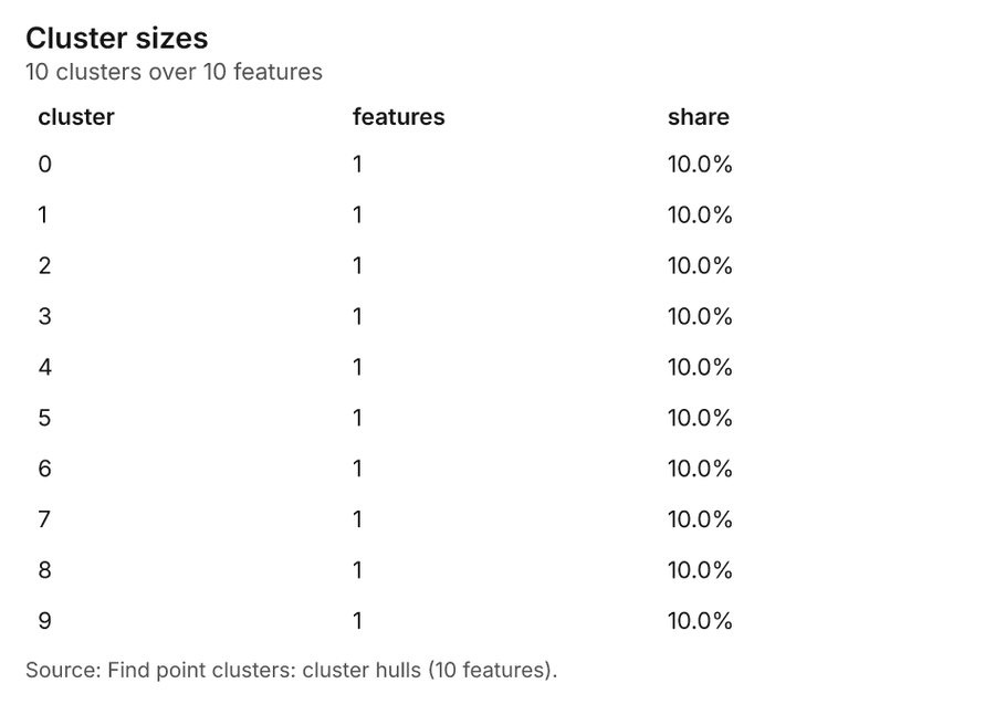
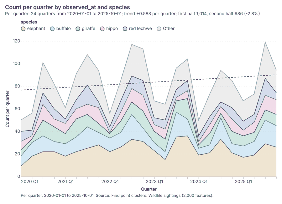
Conservation Okavango Delta near Maun, Botswana
3 calls succeeded. 6 output layers on the sample's interactive map.
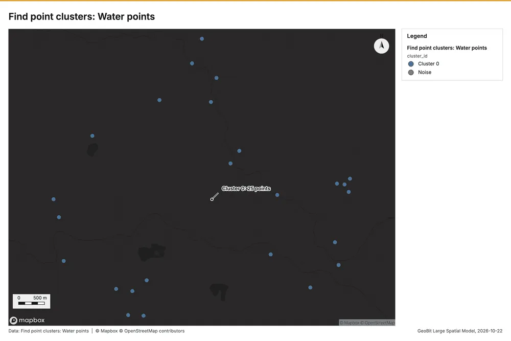
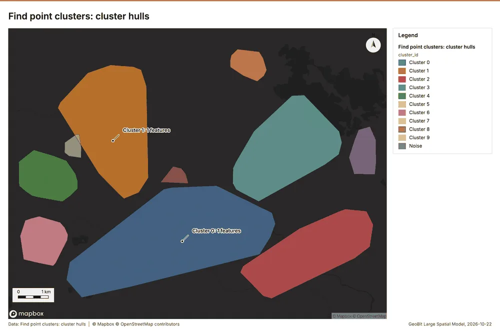
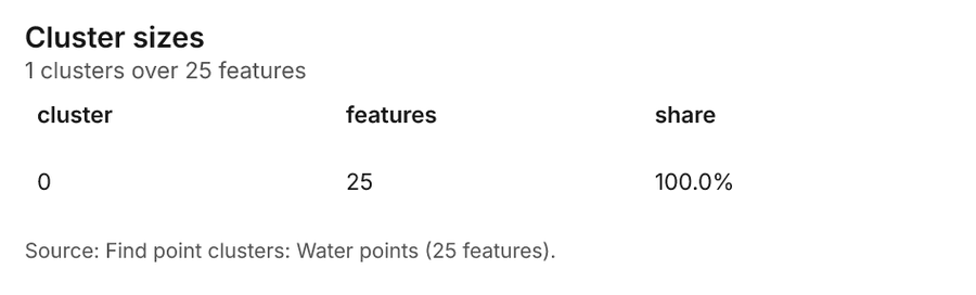
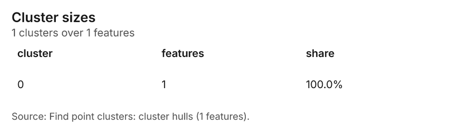
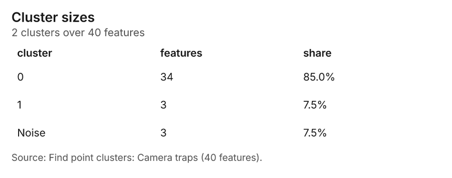
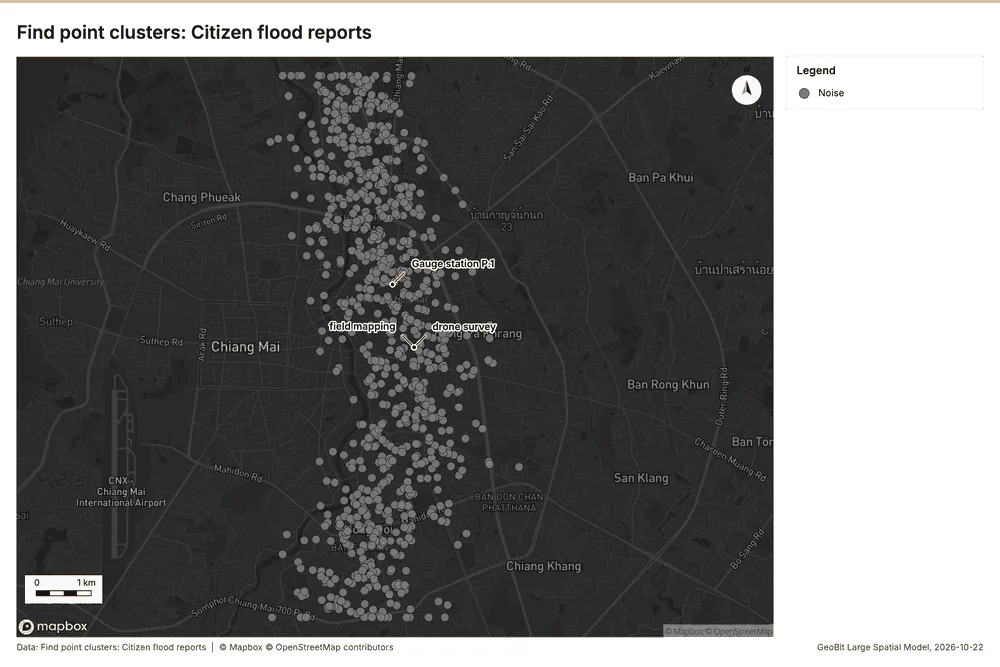
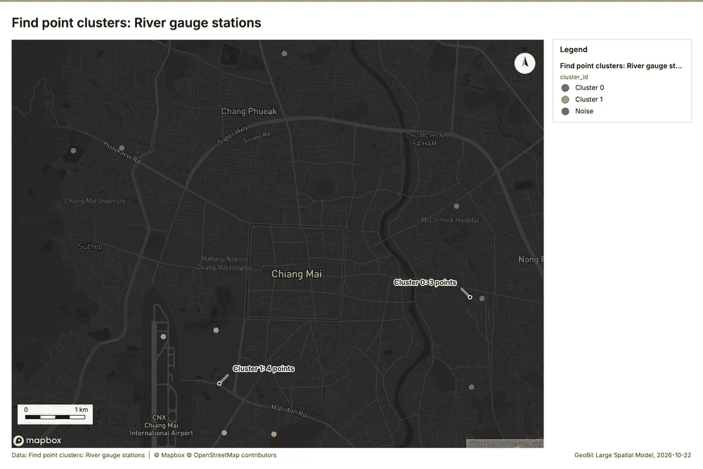
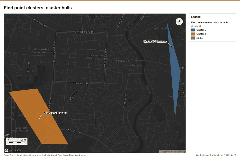
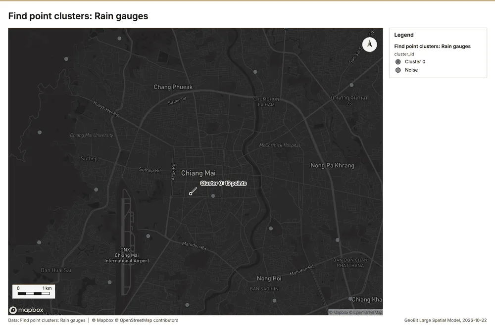
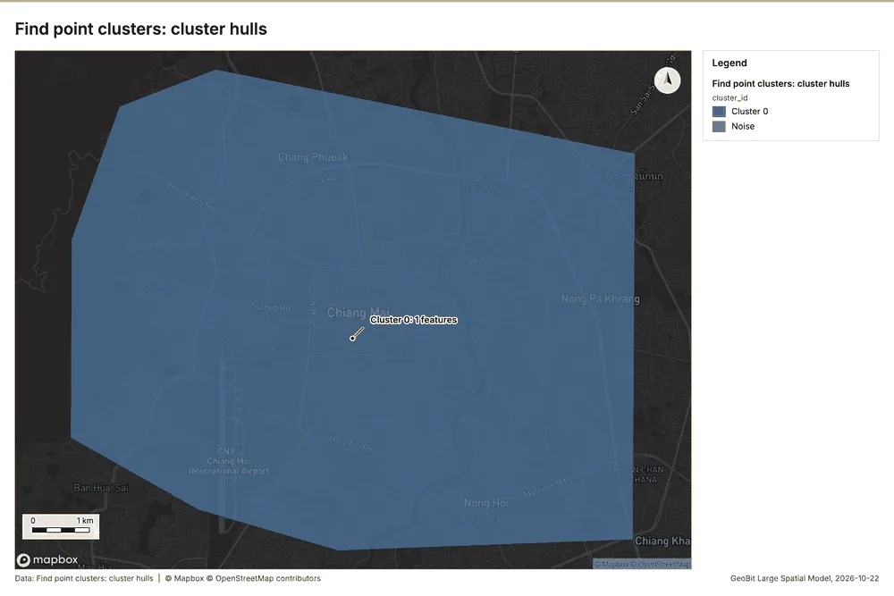
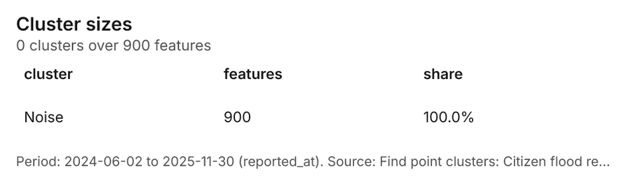
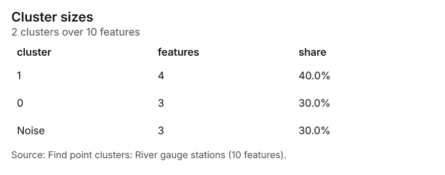
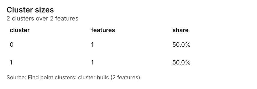
Water resources Chiang Mai, Thailand
3 calls succeeded. 5 output layers on the sample's interactive map.
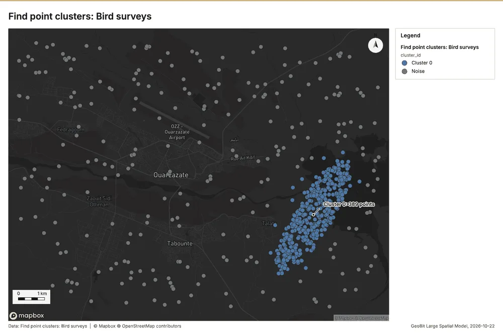
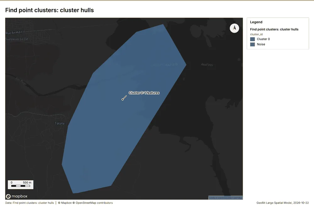
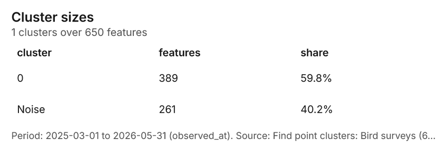
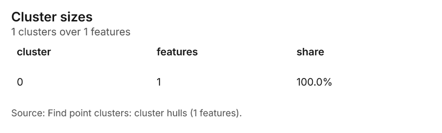
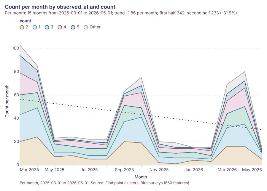
Renewable energy Ouarzazate, Draa-Tafilalet, Morocco
1 call succeeded. 2 output layers on the sample's interactive map.
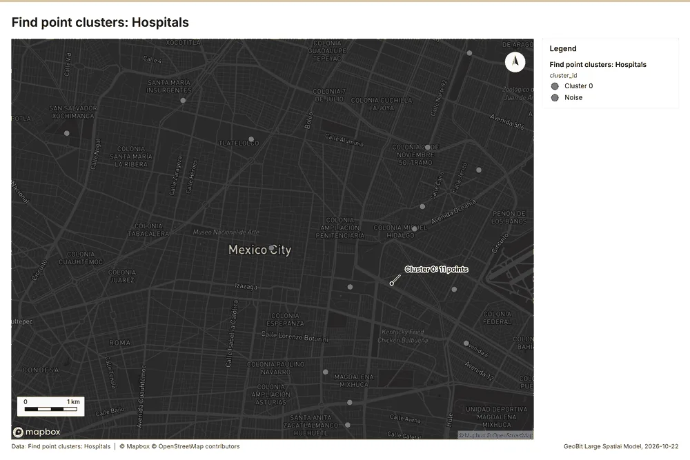
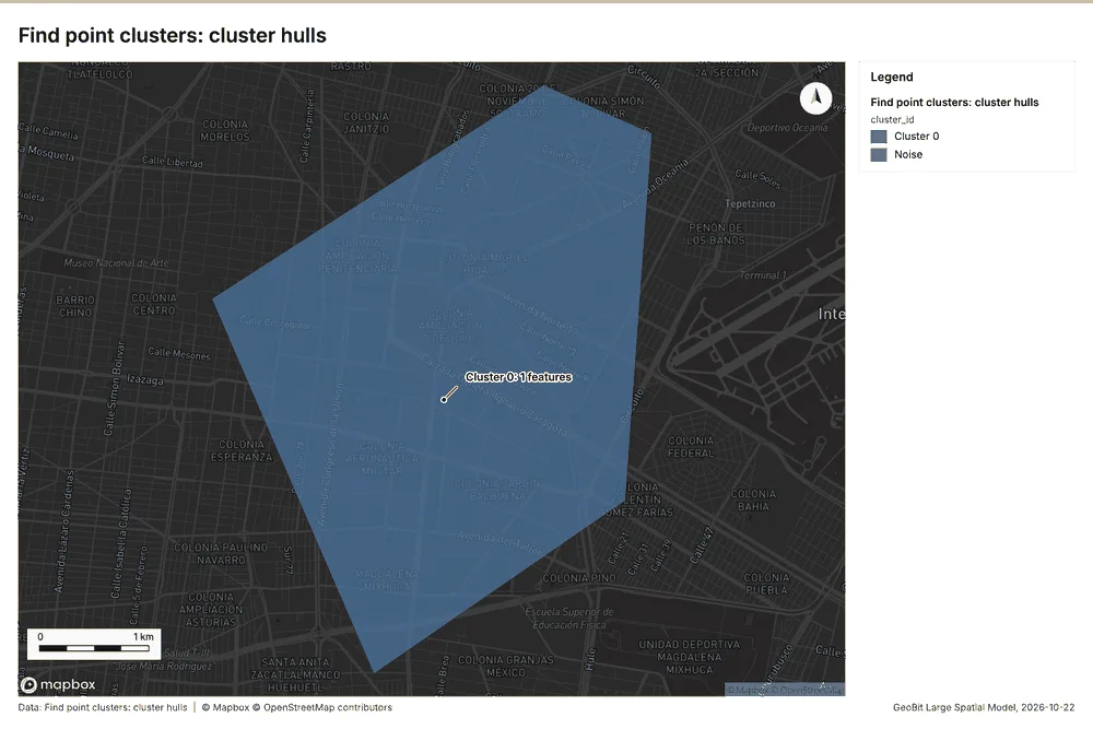
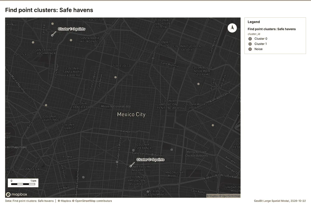
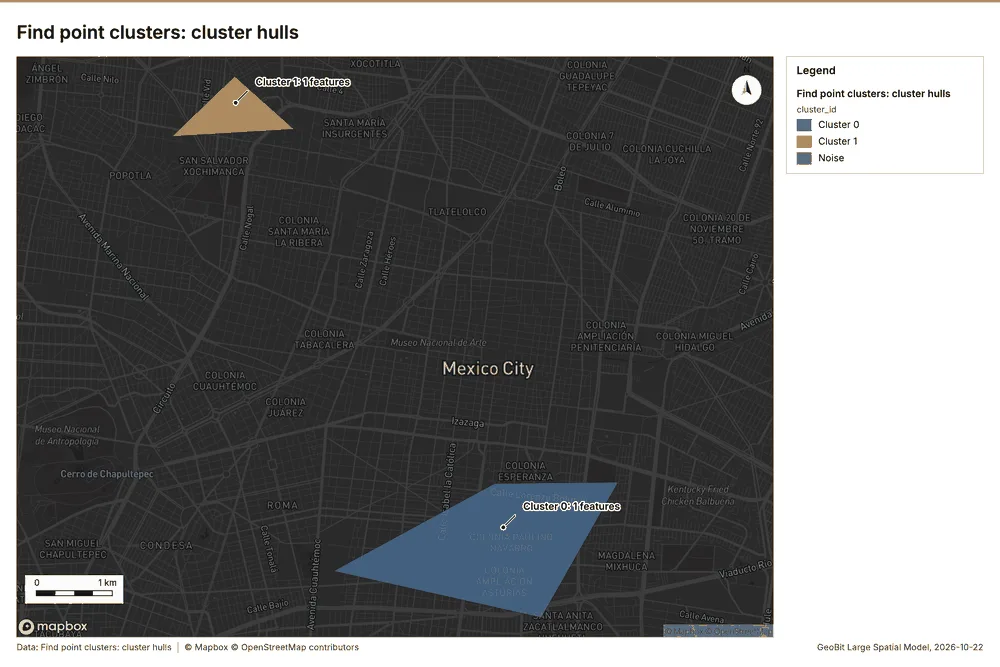
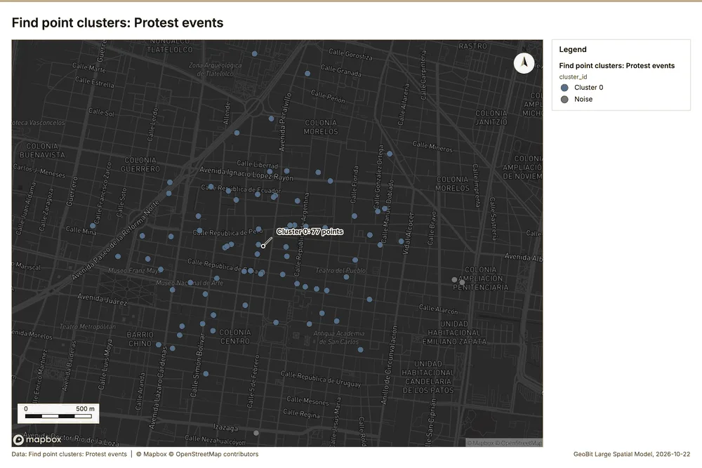
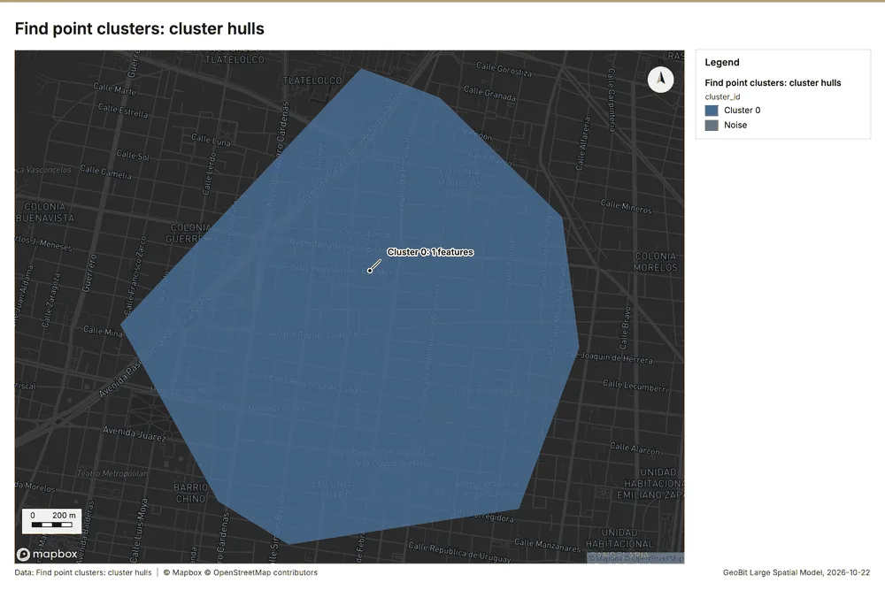
Corporate security and travel risk Mexico City, Mexico
3 calls succeeded. 6 output layers on the sample's interactive map.
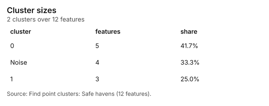
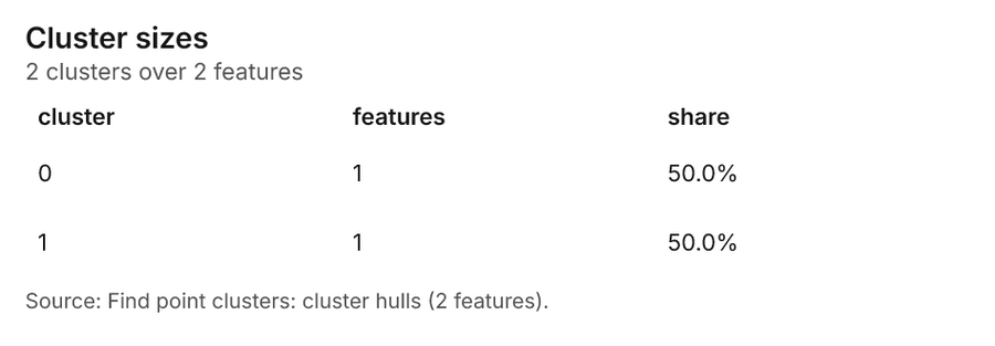
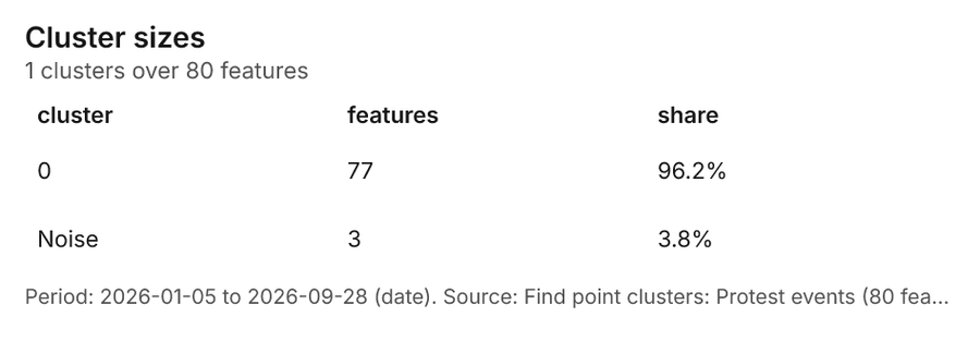
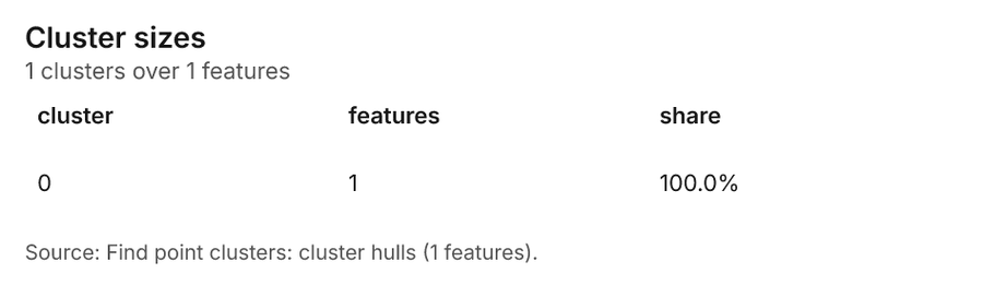
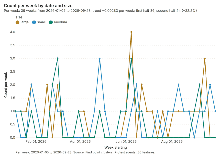
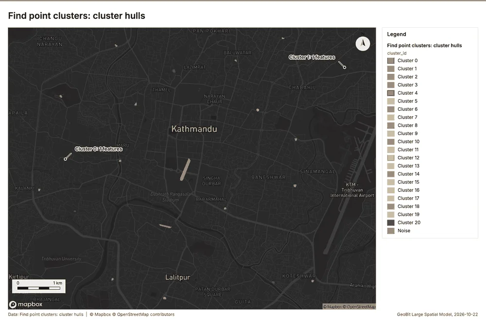
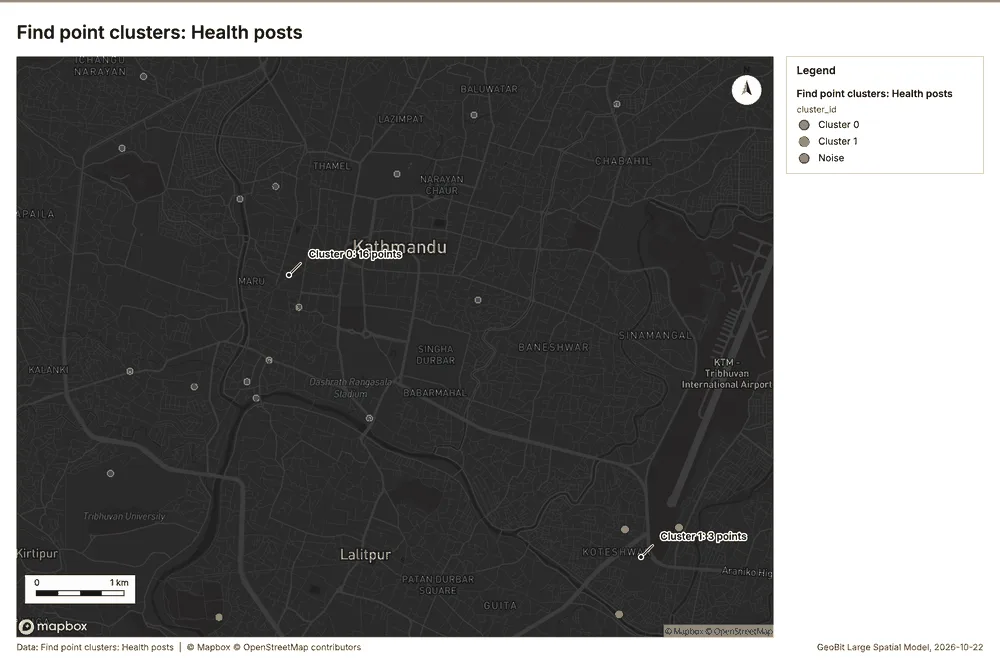
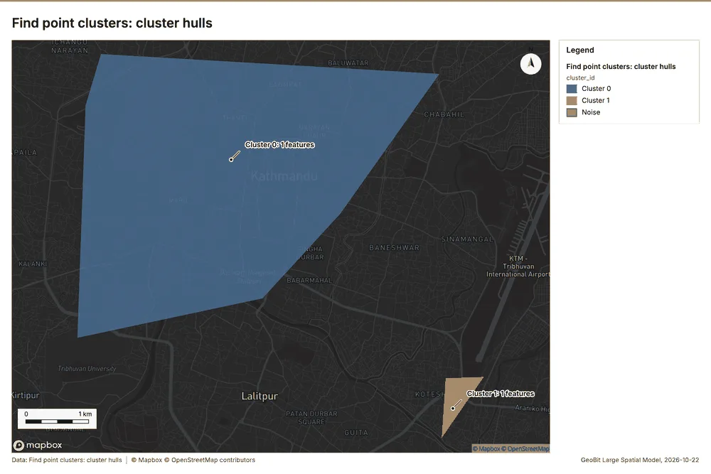
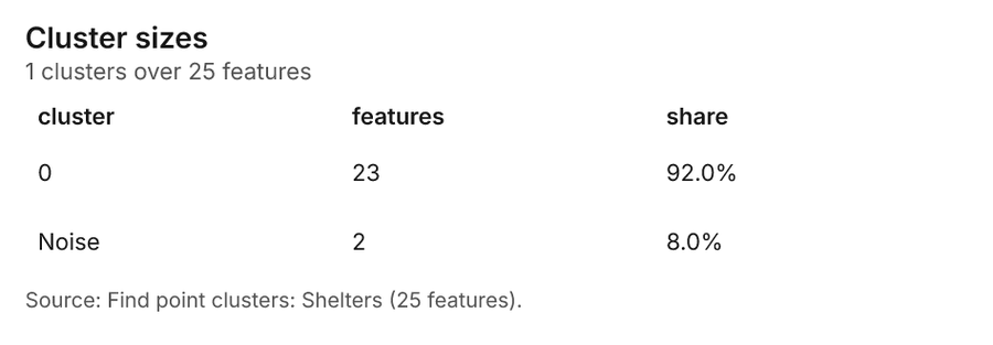
Disaster response Kathmandu, Nepal
3 calls succeeded. 6 output layers on the sample's interactive map.
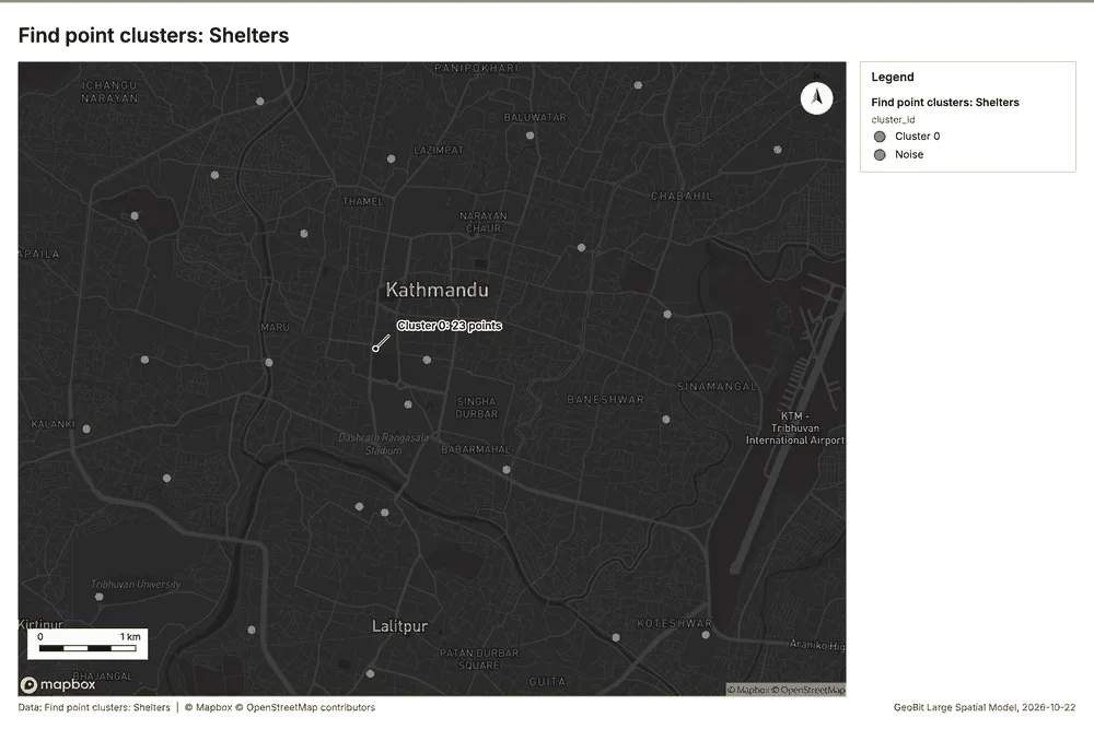
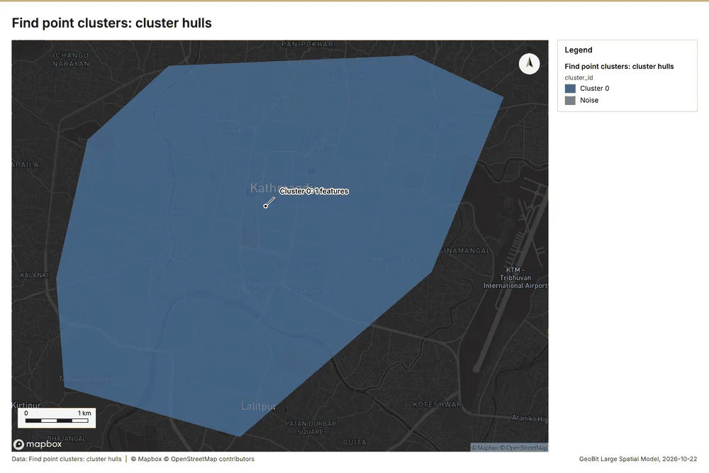
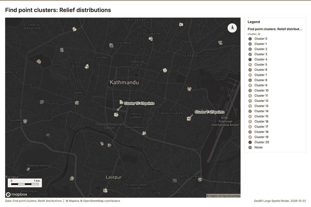
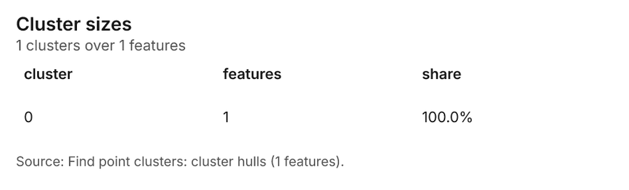
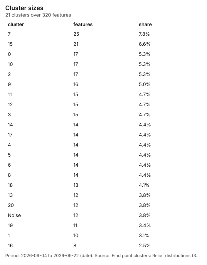
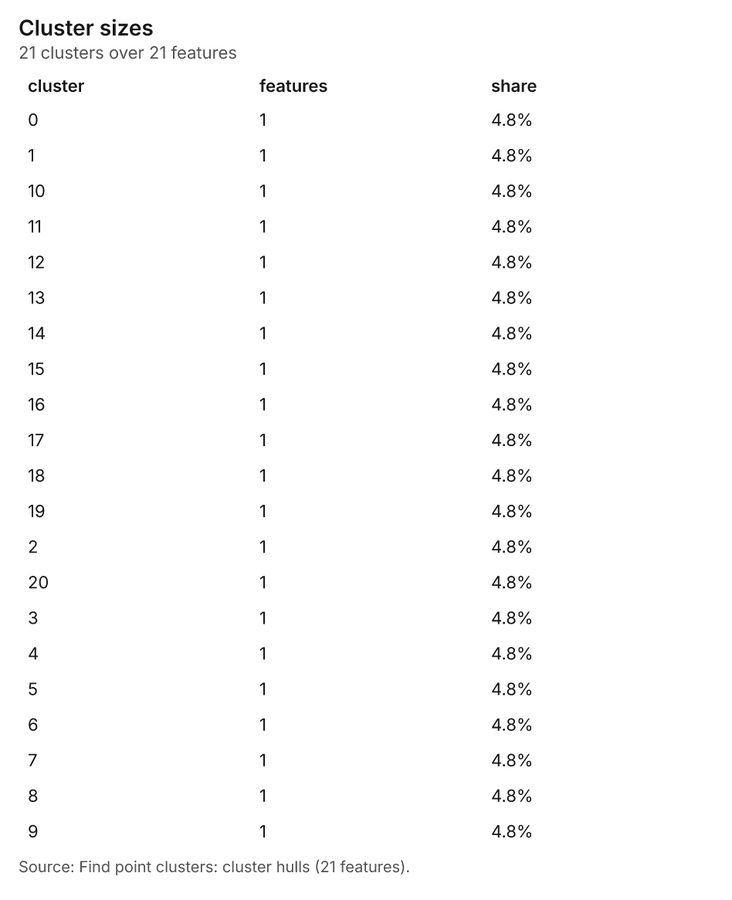
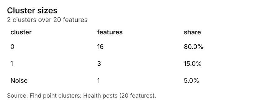
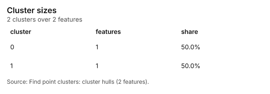
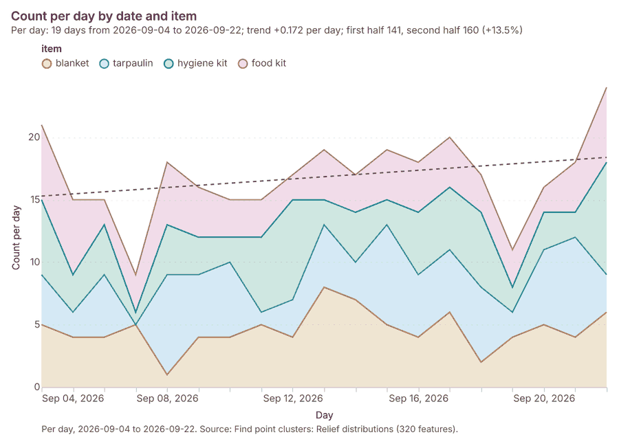
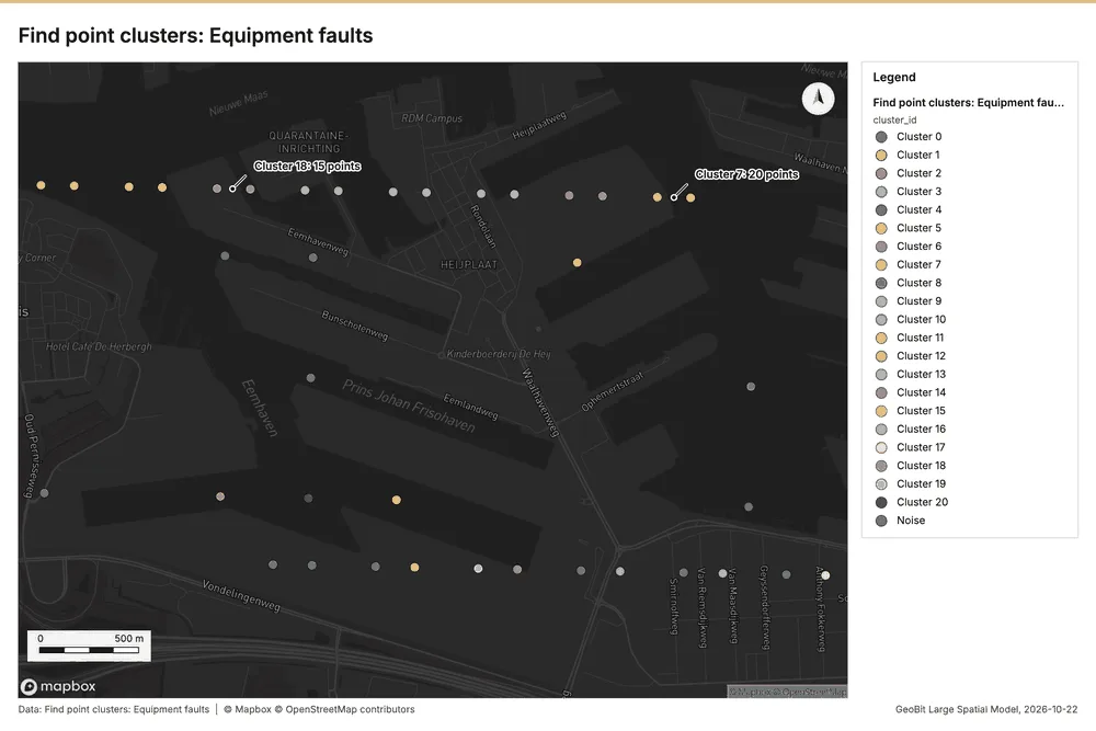
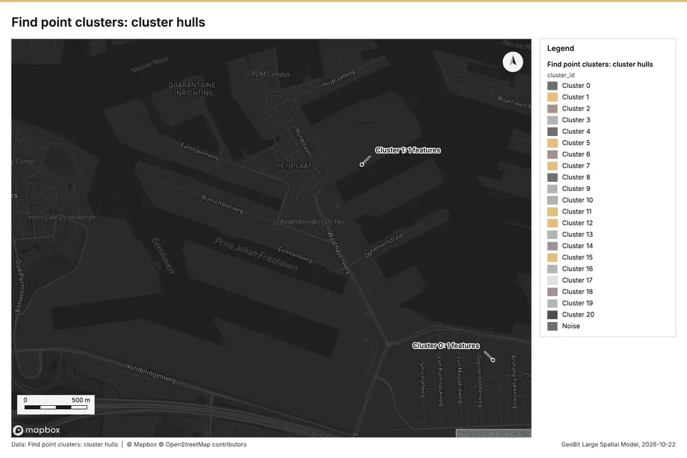
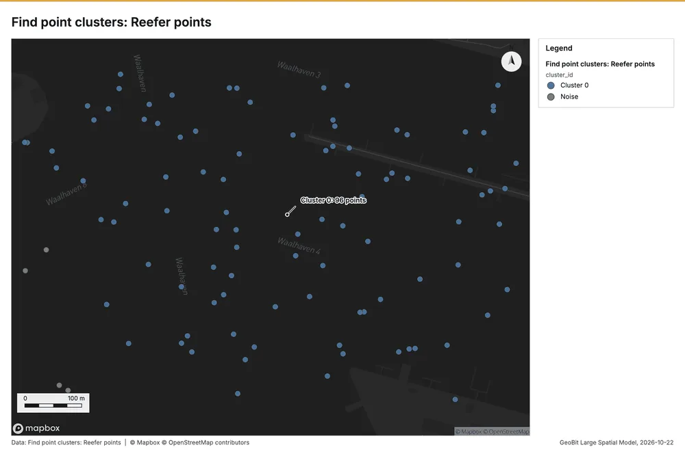
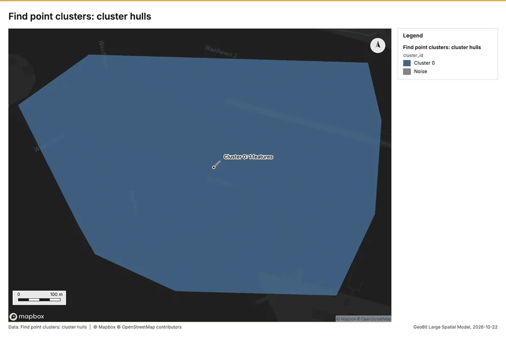
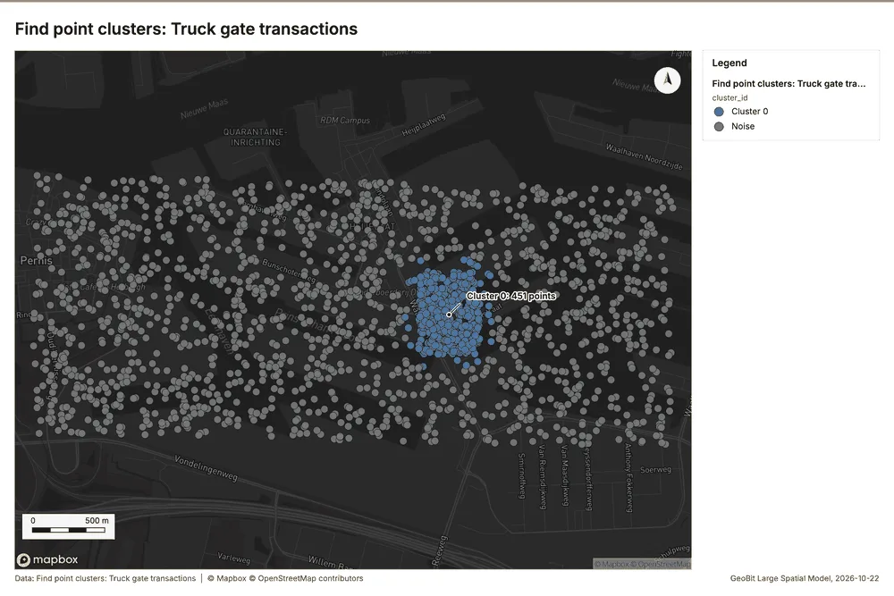
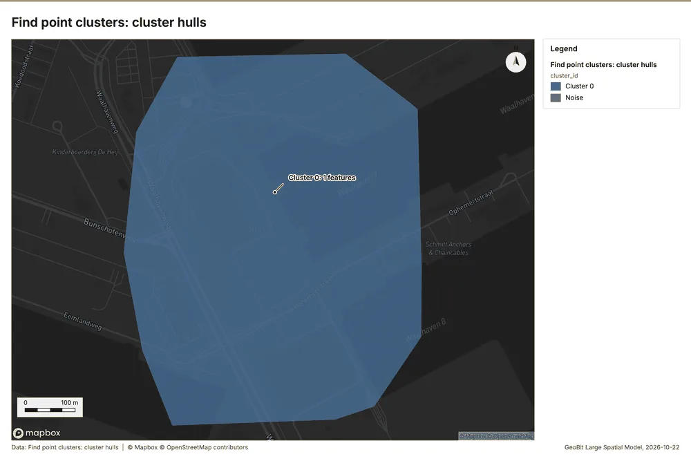
Ports and maritime operations Rotterdam, South Holland, Netherlands
3 calls succeeded. 6 output layers on the sample's interactive map.
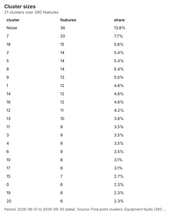
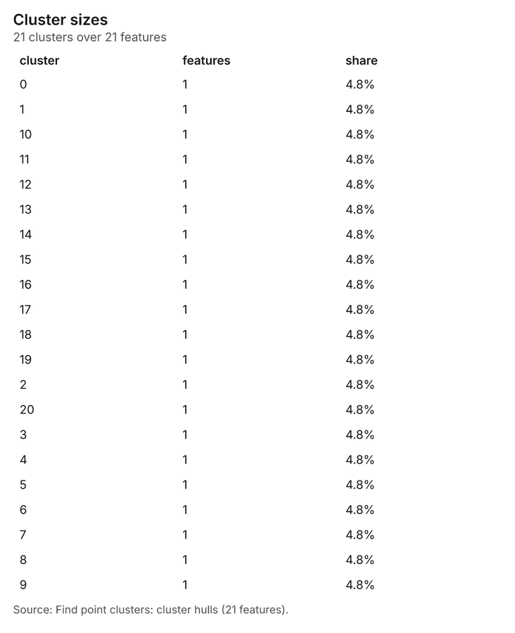
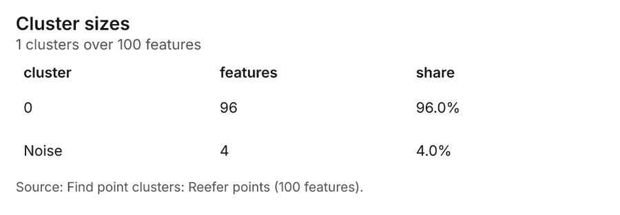
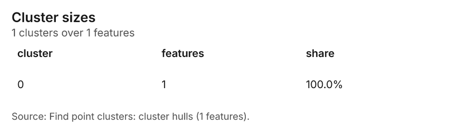
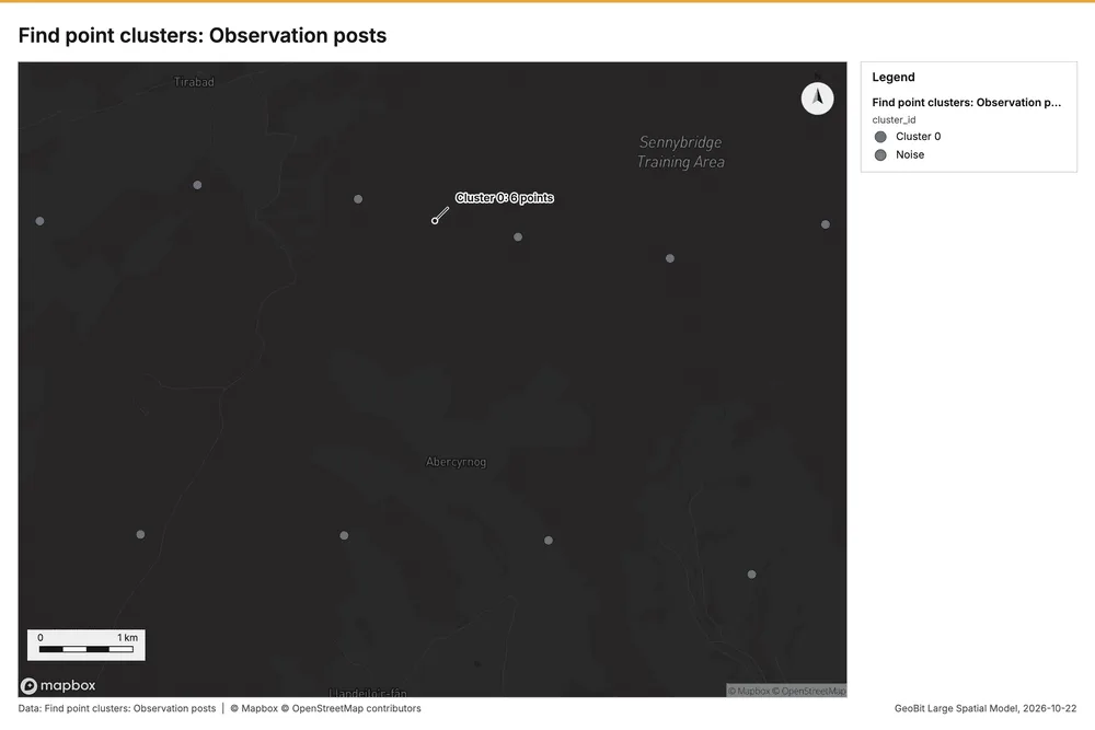
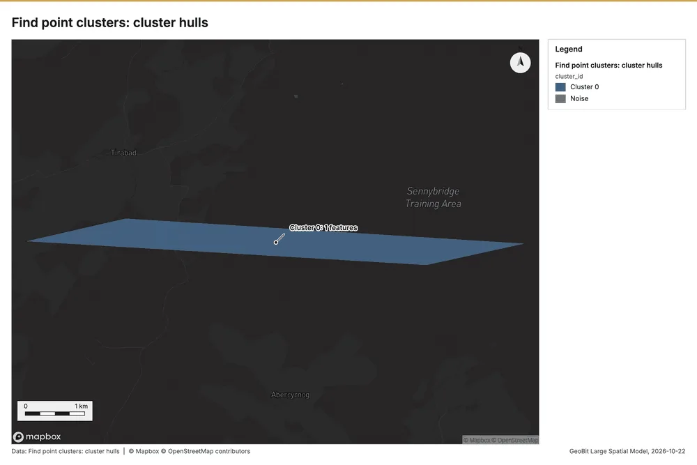
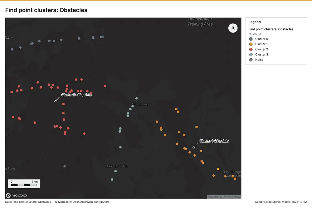
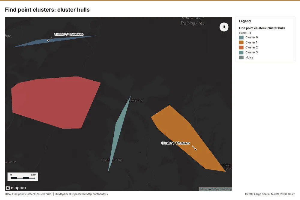
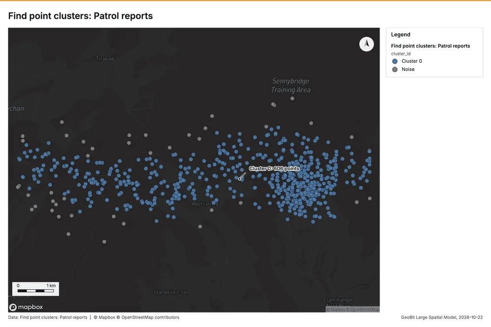
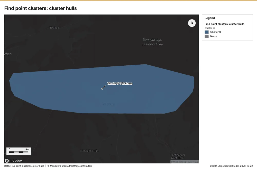
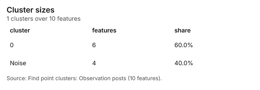
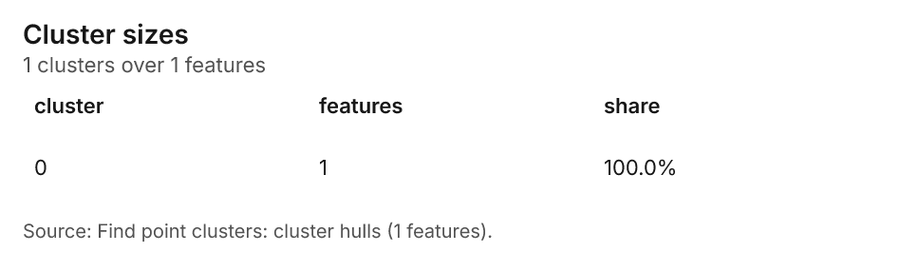
Field operations terrain Sennybridge, Brecon Beacons, Wales, United Kingdom
3 calls succeeded. 6 output layers on the sample's interactive map.
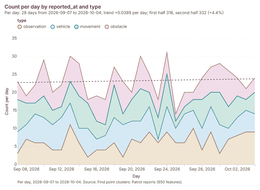
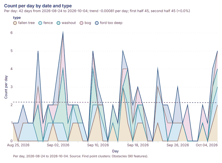
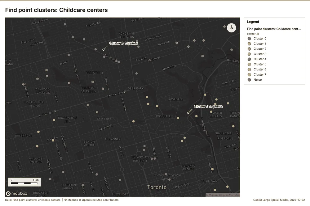
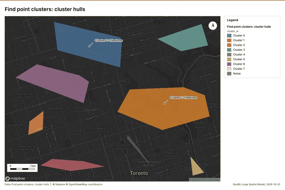
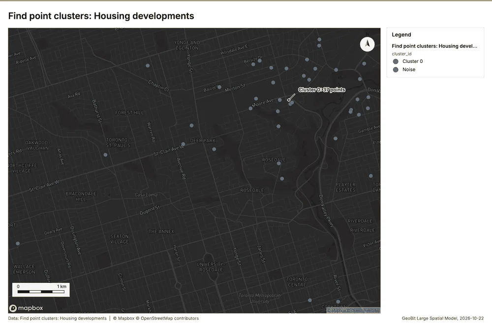
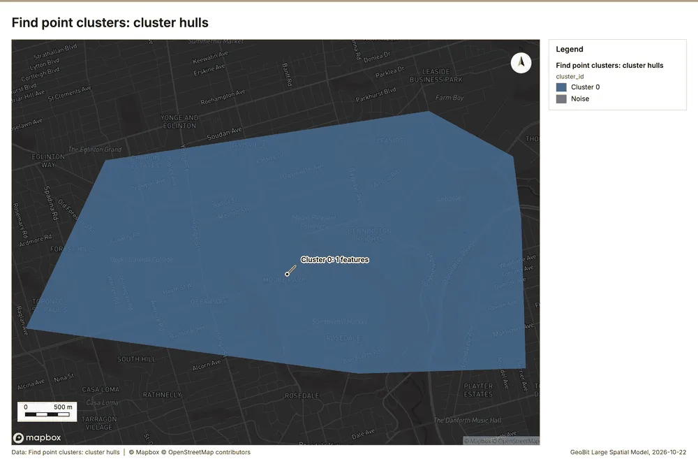
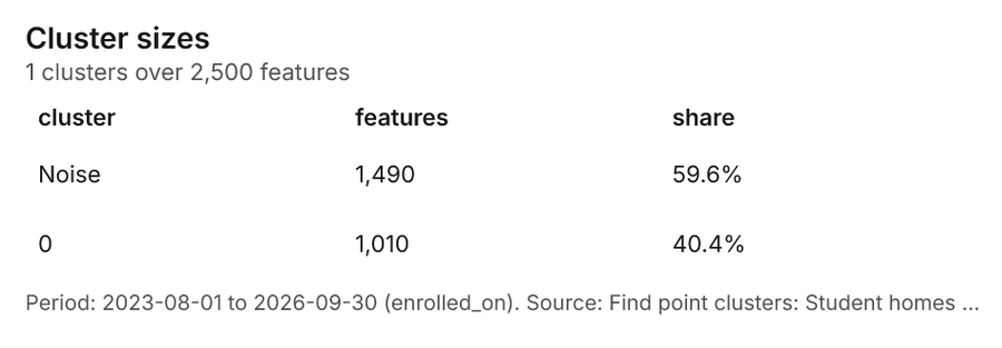
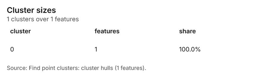
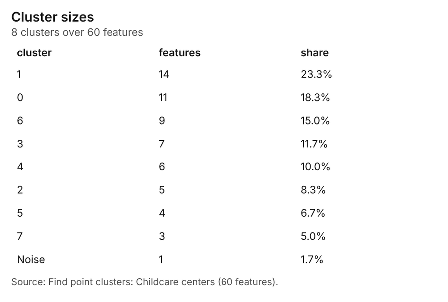
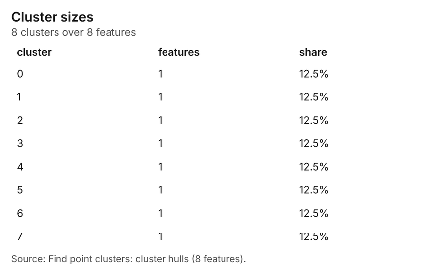
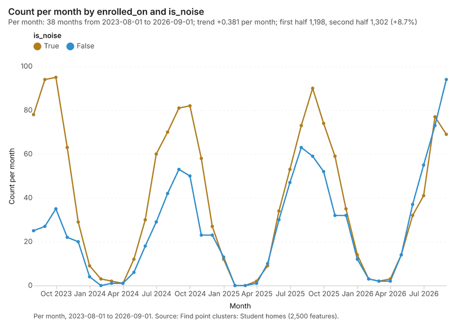
Education Toronto, Ontario, Canada
3 calls succeeded. 6 output layers on the sample's interactive map.
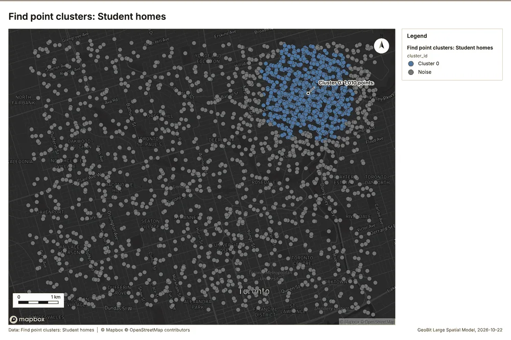
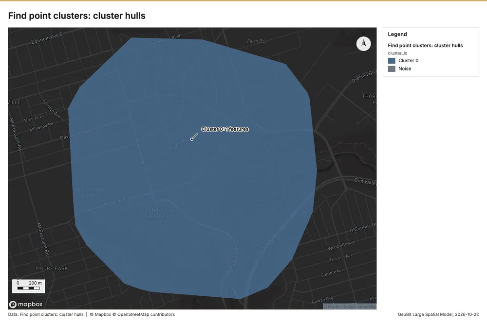
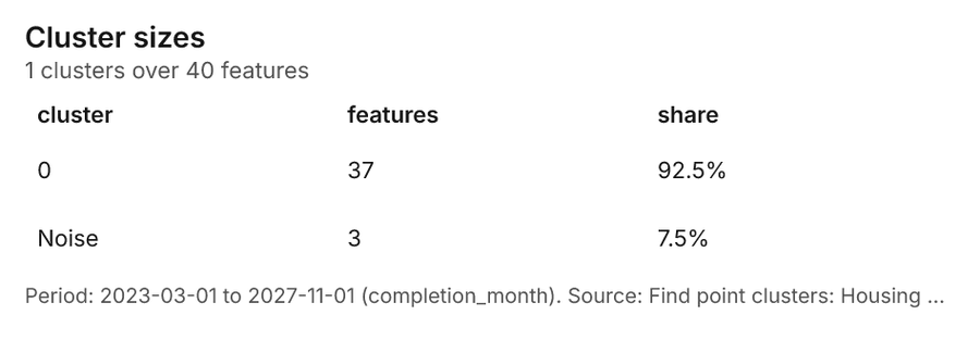
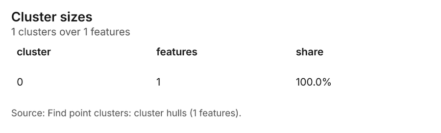
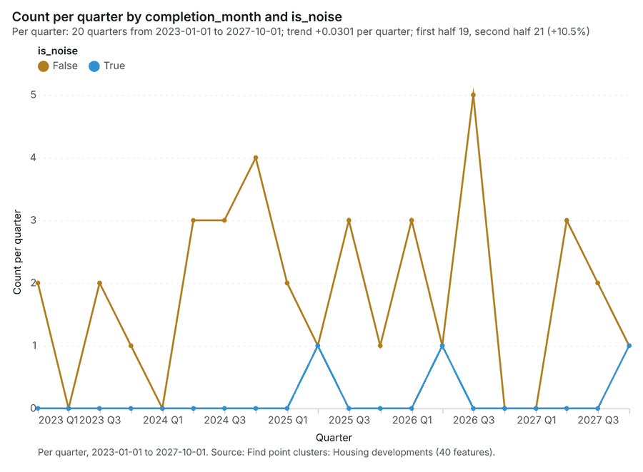
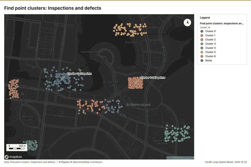
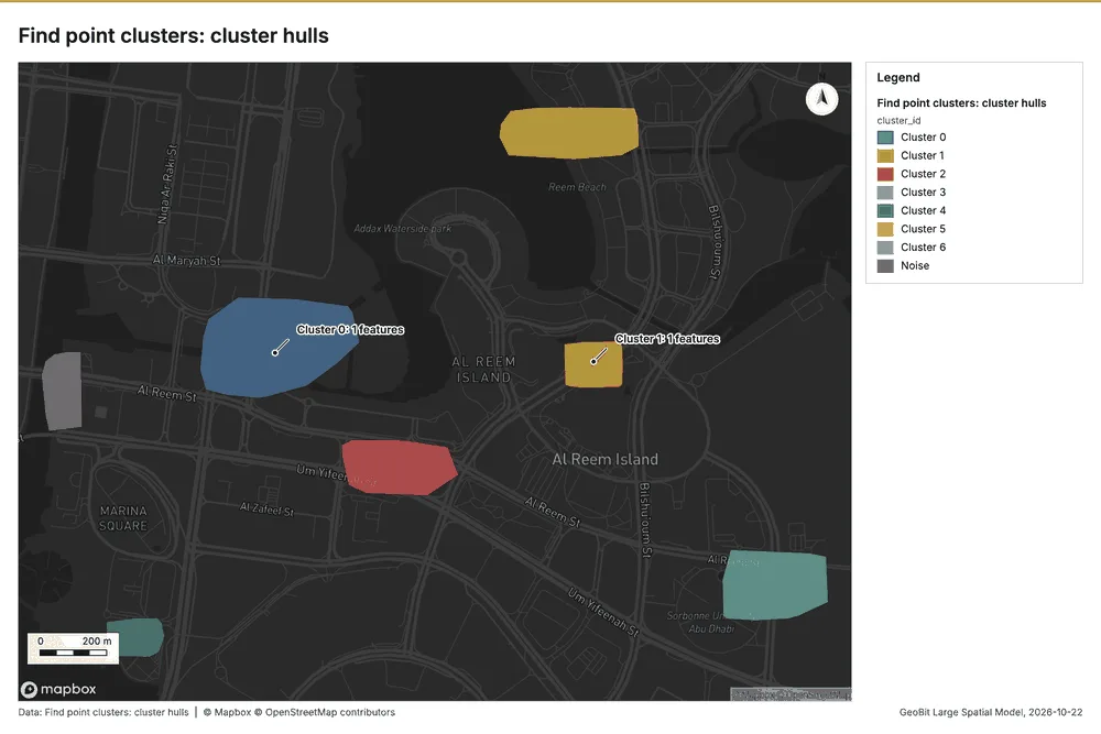
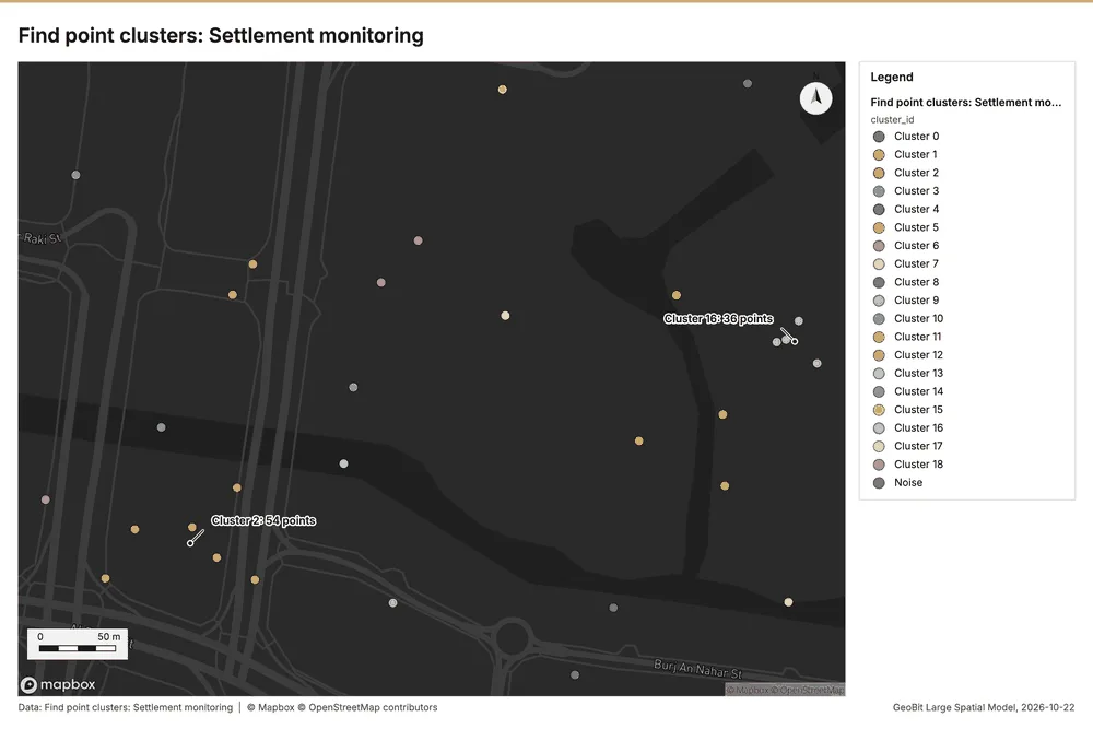
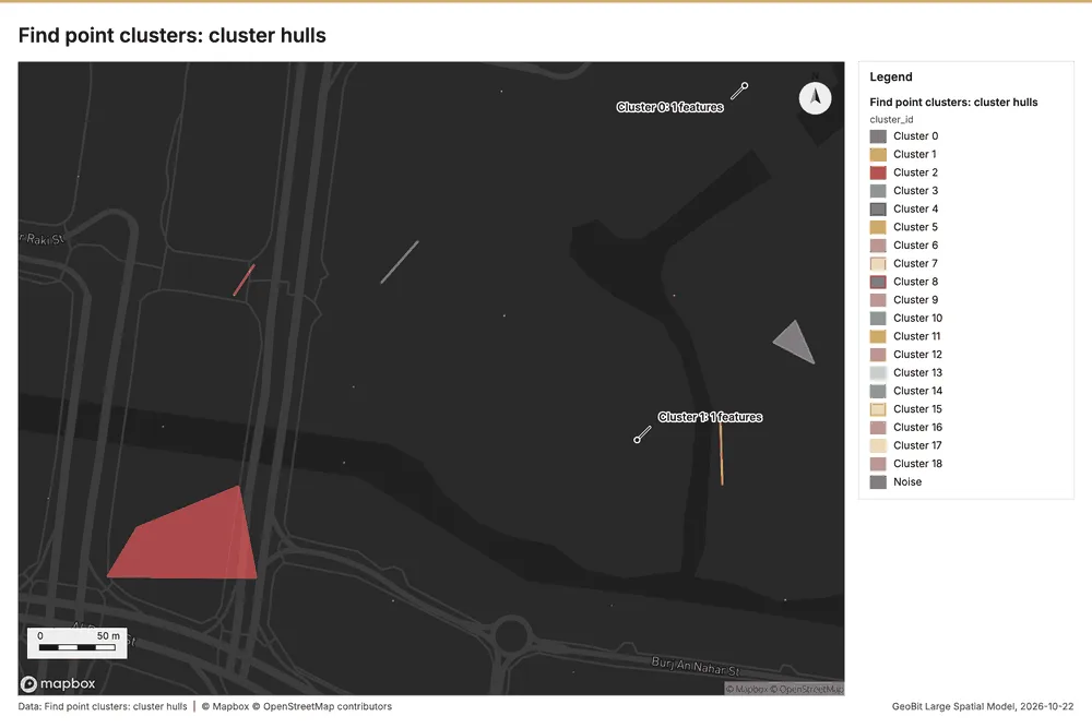
Construction Al Reem Island, Abu Dhabi, United Arab Emirates
2 calls succeeded. 4 output layers on the sample's interactive map.
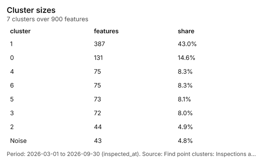
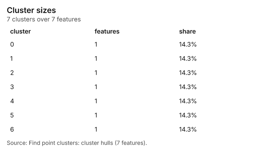
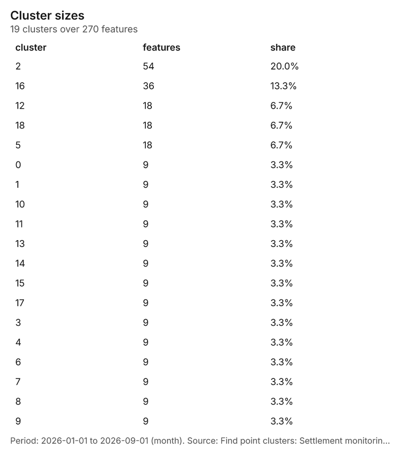
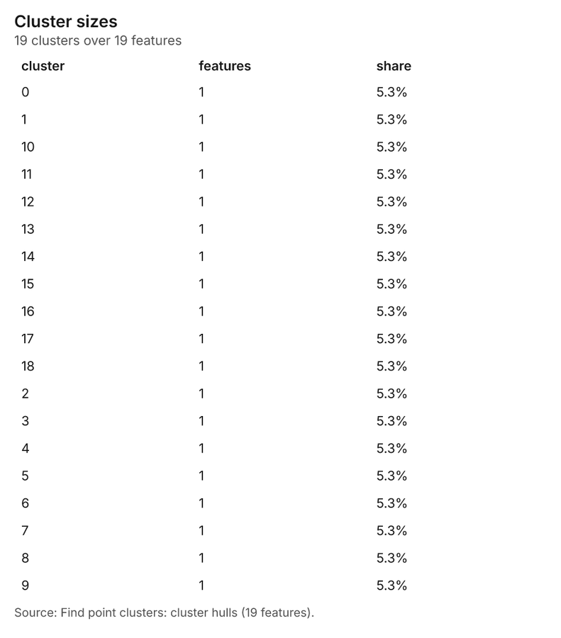
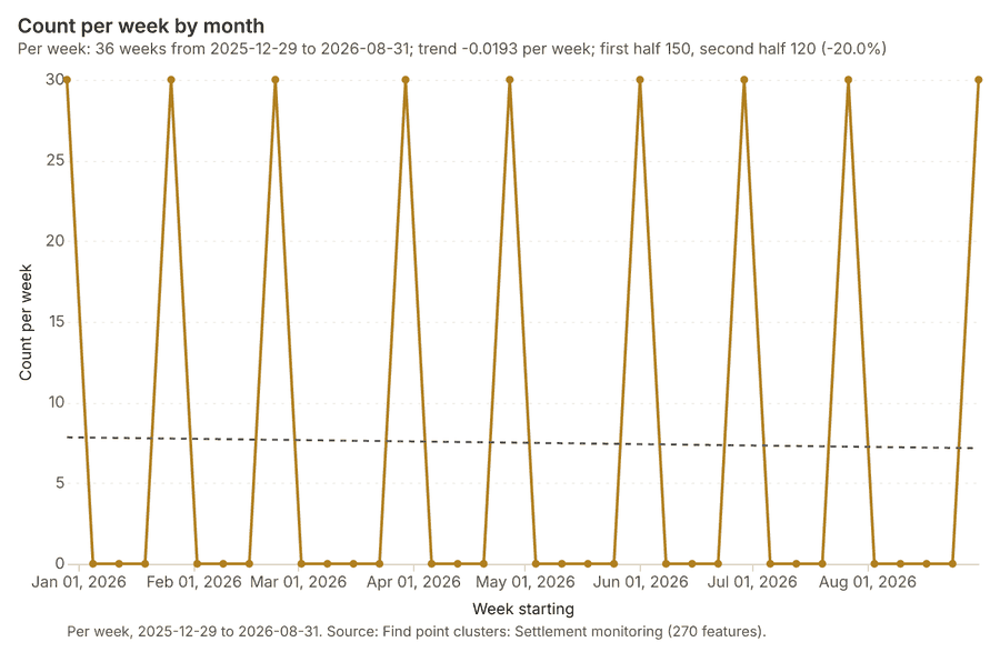
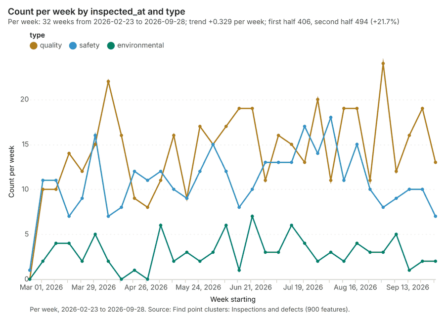
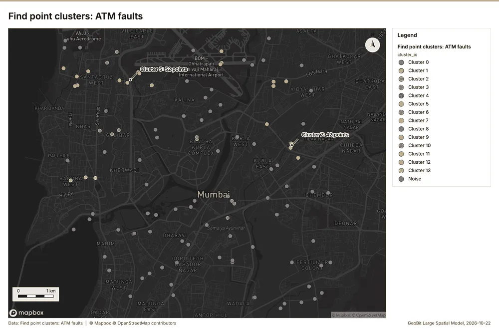
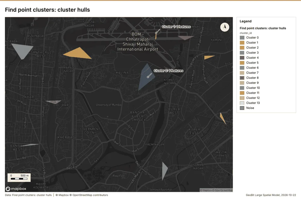
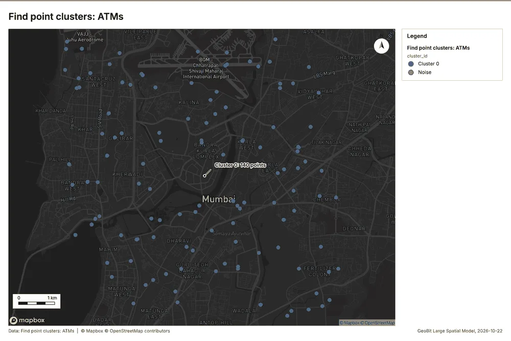
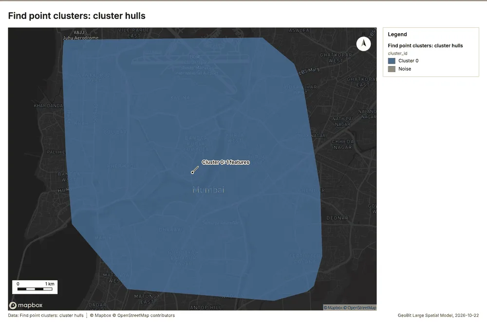
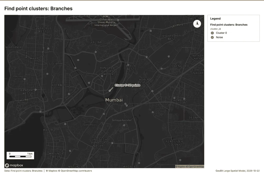
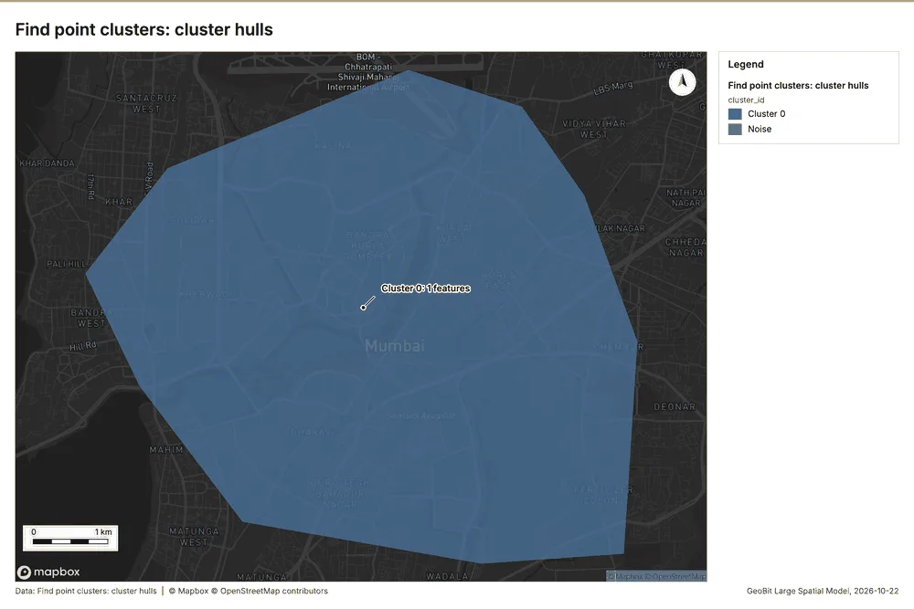
Banking Mumbai, Maharashtra, India
3 calls succeeded. 6 output layers on the sample's interactive map.
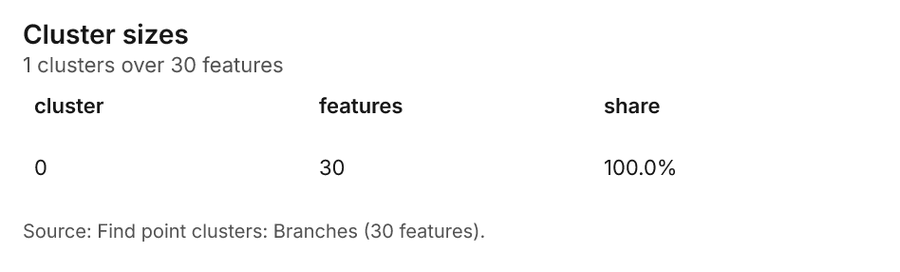
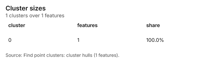
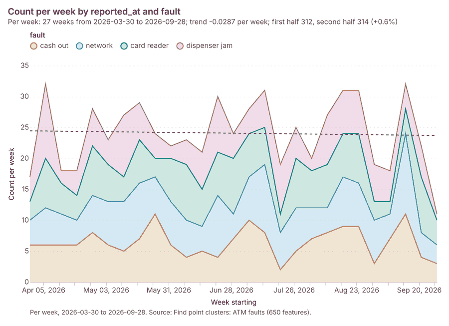
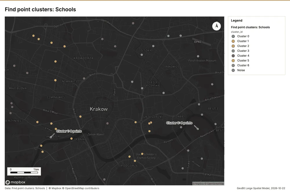
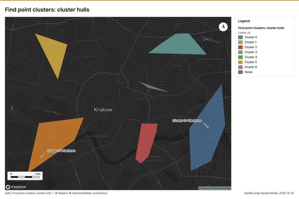
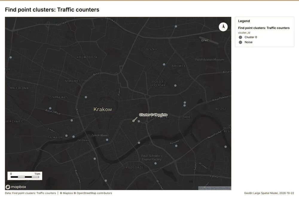
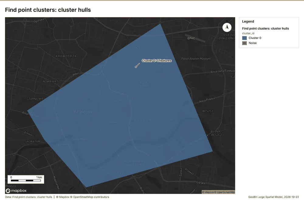
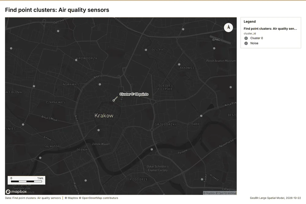
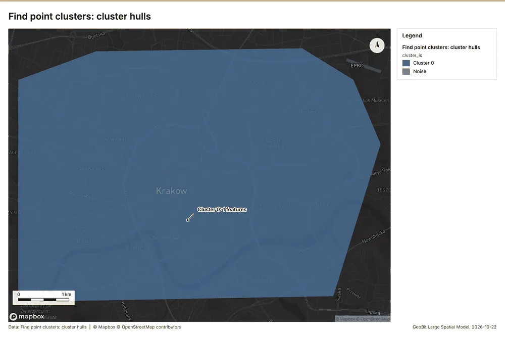
Smart city sensors Krakow, Lesser Poland, Poland
3 calls succeeded. 6 output layers on the sample's interactive map.